Wetter than average conditions are anticipated today as well as this weekend during daylight hours. High humidity levels will make for uncomfortable temperatures. Fog will be possible at night.
TODAY
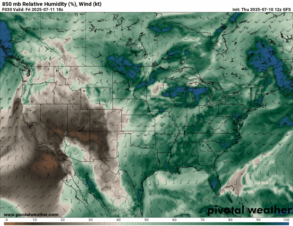
Very high moisture, especially in the low-to-middle levels of the atmosphere, are the driver of today’s rainfall and thunderstorm threat. The National Weather Service is quite bullish on rain, putting up probabilities of precipitation for a given point at 70%. I think that’s a bit too high. Precipitable water (a measure of how much total water is in vapor form throughout the atmosphere above a point) and updraft velocities don’t look too impressive to me. I’d go more for the 50% to 60% range. The mid afternoon time frame will have the maximum chance for scattered storms spawned by diurnal heating and sea breeze convergence.
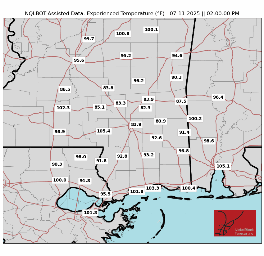
The above image shows feels like temperatures for the area. You may notice that some locations that are merely in the 80s are adjacent to locations well in the triple digits. The areas with lower apparent temperatures, in our model’s estimation, probably got an afternoon storm to cool things down. As tacky as the saying “It’s not the heat, it’s the humidity that gets you” is, it will be true today. The actual temperatures will be seasonably average, but high dew point values will contribute to oppressive conditions in sunny areas. Unless you’re near the ocean, there won’t be too much wind to cool things down outside of thunderstorm downdrafts.
THIS WEEKEND

Nightly near-surface temperature inversions combined with a lack of wind and clouds aloft could contribute to fog at night and in the early morning. Be cautious when driving.
On Saturday, expect similar conditions to Friday. Scattered storms in the afternoon, uncomfortably muggy in areas that don’t get storms.
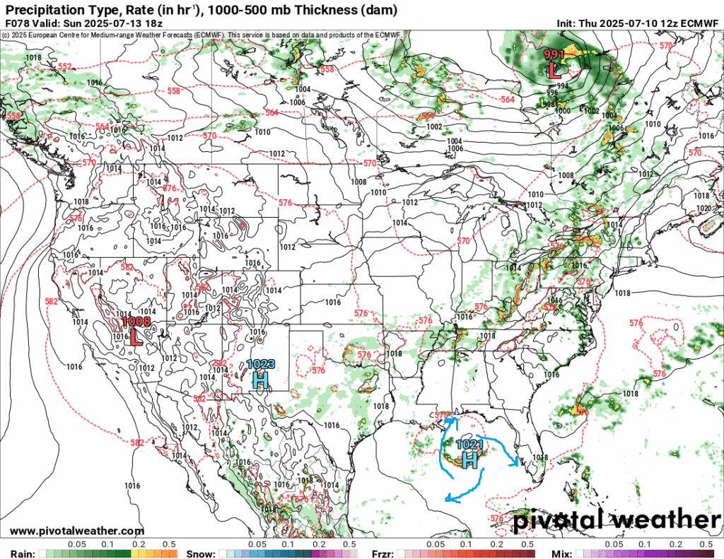
Sunday is when the best chance of rain is. A high pressure looks to form over the Gulf of Mexico, which will aid in moist air advection as it blows in air from the Gulf. I would expect more widespread coverage of showers and thunderstorms. Most in the forecast area will see between a quarter inch and a half inch of rain the next 3 days, with locally higher amounts in thunderstorms.
EARLY NEXT WEEK
Wet conditions will persist into Monday. Areas that receive rain in consecutive days will be at risk for flooding. Southerly winds will cause above average temperatures.
On Tuesday, a ridge will begin to build, counteracting the moist advection and reducing precipitation chances to more typical levels, between 30% and 40%, whilst temperatures remain above normal.
LONG RANGE
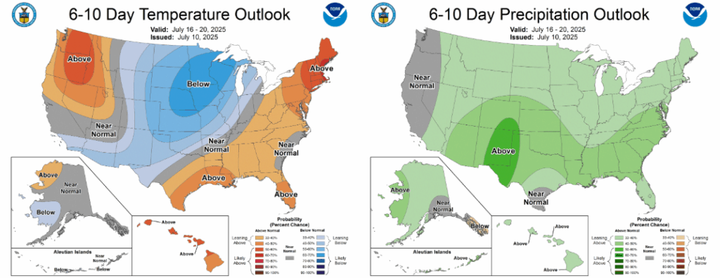
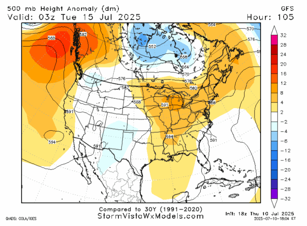
Looking at teleconnections like the ABNA and PNA, the signal is there for a warmer than average period in the 5-10 day time frame. This is corroborated both by models and the Climate Prediction Center prediction. Frontal activity in the central United States may cause increased rainfall in the 6-10 day time frame.
REGIONAL DAY-TO-DAY FORECAST
Today: Thunderstorms possible in afternoon. Chance of rain 60%. Highs in the low 90s, cooler in areas that get storms. Wind from the west at 5 mph.
Tonight: Mostly clear. Fog possible. Lows in the mid 70s. Calm winds.
Saturday: Thunderstorms possible in the afternoon. Chance of rain 60%. Highs in the low 90s, cooler in areas that get storms. Humid. Winds from the west at 5mph. Fog possible at night. Lows in the mid 70s.
Sunday: Rain and thunder likely. Chance of rain 70%. Highs in the low 90s. Humid. Winds from the south at 5mph. Fog possible at night. Lows in the mid 70s.
Monday: Rain and thunder likely. Chance of rain 70%. Highs in the low 90s. Lows in the mid 70s.
Tuesday: Highs in the mid 90s. Partly cloudy, chance of a thunderstorm. Chance of rain 50%. Lows in the mid 70s.
Wednesday: Highs in the mid 90s. Partly cloudy, chance of a thunderstorm. Chance of rain 40%. Lows in the mid 70s.
Thursday: Highs in the low 90s. Partly cloudy, chance of a thunderstorm. Chance of rain 50%. Lows in the mid 70s.
Friday: Highs in the low 90s. Mostly cloudy. Thunderstorms likely. Chance of rain 60%. Lows in the mid 70s.
Saturday: Highs in the low 90s. Mostly cloudy. Thunderstorms likely. Chance of rain 60%. Lows in the mid 70s.
Sunday: Highs in the low 90s. Partly cloudy, chance of a thunderstorm. Chance of rain 40%. Lows in the mid 70s.


