There is a new area of interest highlighted by the National Hurricane Center (NHC) in the Atlantic, and another way out in the Pacific. You may have noticed that there was a previous disturbance in the Atlantic headed toward the Caribbean earlier this week, but as of yesterday morning, the NHC decided that this area was no longer a concern. This is because the storms within this area of interest were just too unorganized, and environmental conditions weren’t looking very favorable to support this area’s development. The remnant storms from this area may bring some scattered rain to the Lesser Antilles, though. The new Atlantic disturbance is unlikely to develop further, but may cause some heavier than usual rain for the Gulf Coast.
Current Situation in the Atlantic:
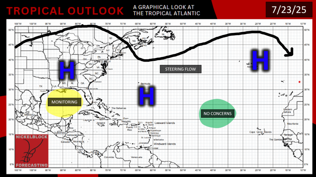
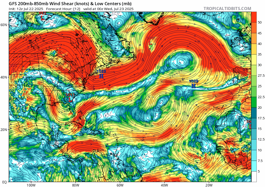
Currently, we have areas of high pressure spanning from the Southeast, Bermuda, and the Azores. The former area of interest approaching the Caribbean is no longer a concern, and the NHC has one other highlighted area moving into the Gulf. The conditions of the previous disturbance were not supportive enough for the area to become an issue, with minimal moisture and high wind shear inhibiting the storm’s organization and development.
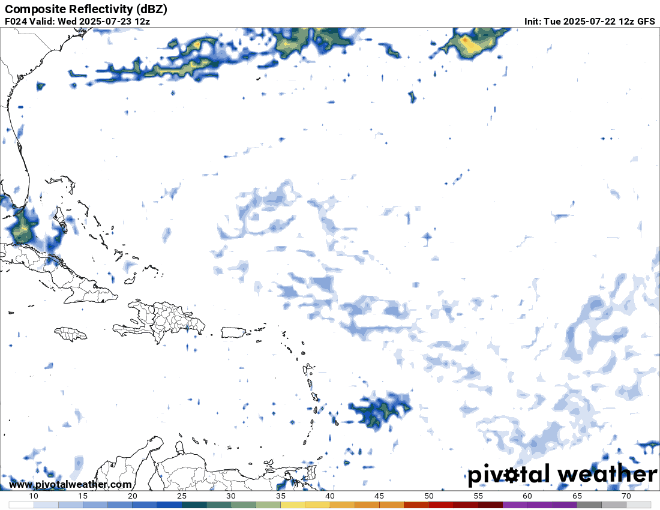
The only effect of this former disturbance would be some scattered showers in the Lesser Antilles throughout the next couple of days:
Looking Ahead
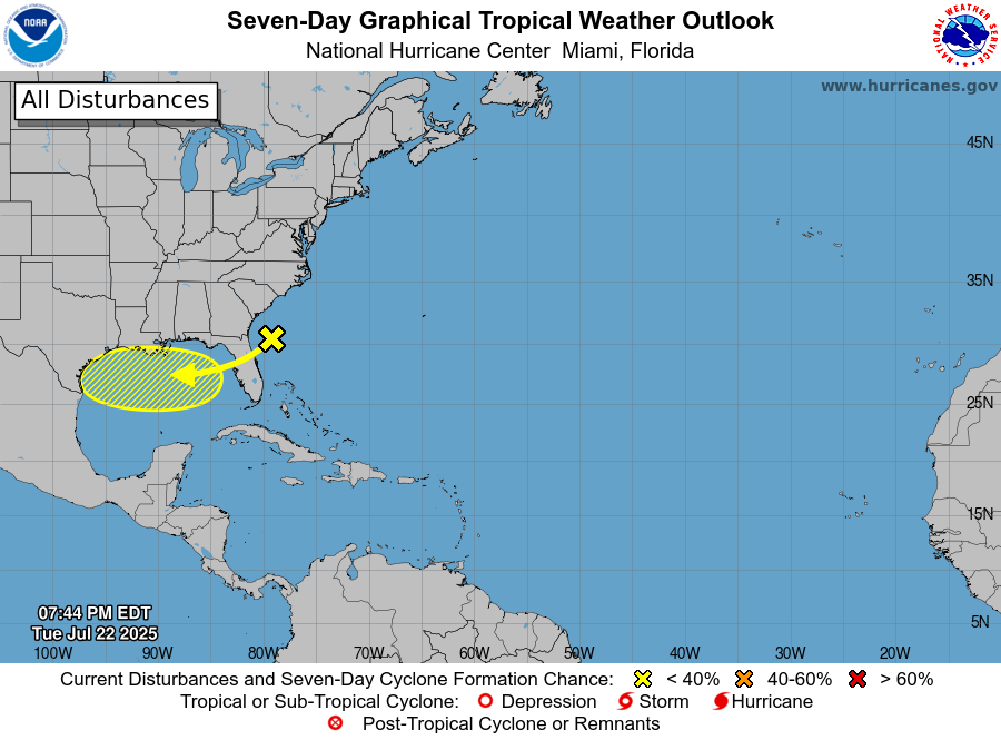
There is one disturbance that is currently moving from the Southeast Atlantic Coast, over Florida, and into the Gulf, and it has a 10% chance of development. This disturbance has a very low chance of development because it is forecasted to move inland by Friday and then fall apart while it continues to move over land over the weekend.
Regardless of how much this storm develops, there is a good chance that it will bring some heavier rain days to the Gulf Coast this weekend, especially on Friday. For more details on this upcoming rain, check out my MS/AL/LA local forecast for today.
Based on current and forecasted environmental conditions, like sea surface temperature, mid-level relative humidity, and wind shear, the two main areas where a disturbance could form later in the week or moving into next week would be off the Southeast Atlantic Coast (where the current disturbance is) or from a tropical wave coming off the coast of West Africa.
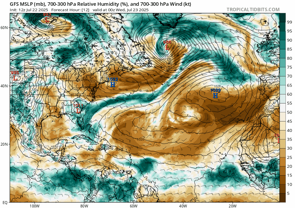
These two areas are where we tend to get high moisture and low wind shear in the next week, so we will keep an eye on these region and the rest of the tropics.
Current Situation in the Pacific:
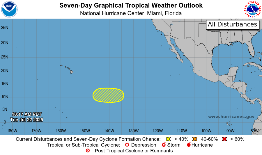
There is one disturbance in the East Pacific as of right now, and has a 20% chance of development in the next 7 days. At around 10-15 mph, this system is slowly moving westward. There are some bands of disorganized showers and if the forecasted low pressure area does form later this week, it may slowly develop further. Regardless of development, this system will likely avoid landfall on Hawaii as it is currently moving westward, and moving toward Hawaii, the system would encounter colder waters.
At this point, we will has to wait and see if the forecasted low pressure area forms to better determine how this system will shake out.
Stay tuned for more NickelBlock tropical updates!


