A trough will begin forming across the region today, strengthening on Monday. This will support very average temperatures around the 90 degree mark, as well as cloudier conditions. A northerly breeze and drier air will prevent things from getting too muggy. Chance of rain will be around seasonable values, between 30 and 40%.
Then, the trough will be gradually replaced by a ridge, which will appear Tuesday night, peak Wednesday, and last until early Friday. This will support warmer temperatures, with highs into the mid 90s. Due to subsidence from the ridge, most areas should remain clear. For the areas that do get storms, they’ll be quick movers, likely not lasting too much longer than an hour.
Looking at the weekend to come, it appears a low pressure will form in the Gulf of Mexico to our southwest Friday into Saturday, which, combined with the persistent high pressure to our east, would rotate up tropical moisture and make for some wetter and more humid times. Rain chance may decrease slightly on Sunday and into the work week as the ridge to our east re-asserts itself.

Regretfully, due to an unforeseen personal conflict, I am unable to provide the fully in-depth graphic-filled weather discussion I typically enjoy typing up for y’all. I am happy provide the 10-day forecast below.
REGIONAL DAY-TO-DAY FORECAST
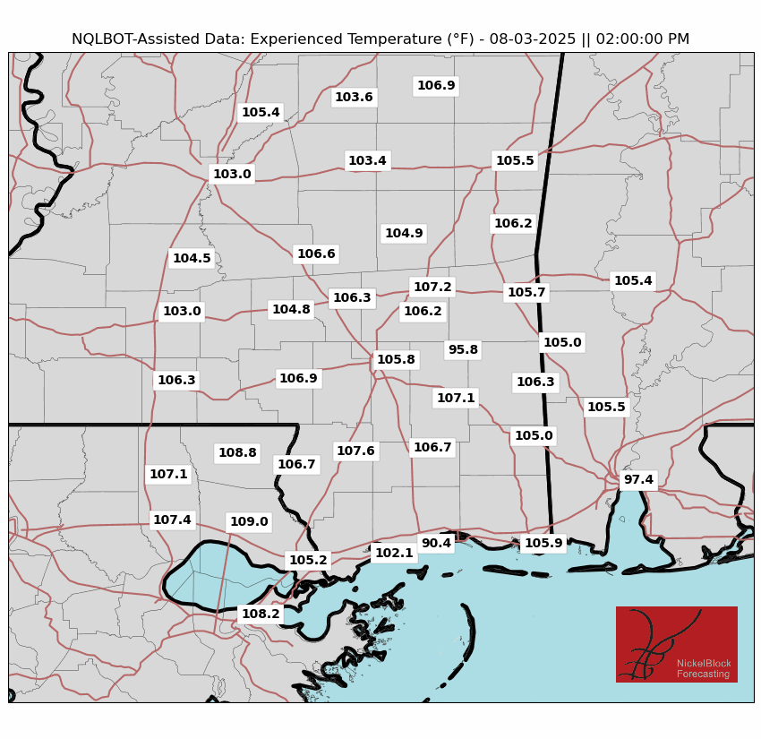
Today: Partly to mostly cloudy. Highs around 90. North wind at 5mph. Chance of rain 30%.
Tonight: Partly cloudy. Lows in the mid 70s.
Monday: Mostly cloudy. Highs around 90. North wind at 5mph. Chance of rain 40%. Lows in the mid 70s.
Tuesday: Partly cloudy, chance of an afternoon thunderstorm. Highs in the low 90s. Chance of rain 40%. Lows in the mid 70s.
Wednesday: Partly cloudy, chance of an afternoon thunderstorm. Highs in the mid 90s. Chance of rain 40%. Lows in the high 70s.
Thursday: Partly cloudy, chance of an afternoon thunderstorm. Highs in the mid 90s. Chance of rain 40%. Lows in the high 70s.
Friday: Partly cloudy, chance of an afternoon thunderstorm. Highs in the low 90s. Chance of rain 60%. Lows in the mid 70s.
Saturday: Mostly cloudy. Afternoon thunderstorms likely. Highs in the low 90s. Chance of rain 70%. Lows in the mid 70s.
Sunday: Mostly cloudy, chance of an afternoon thunderstorm. Highs in the low 90s. Chance of rain 60%. Lows in the low 70s.
Monday: Partly cloudy, chance of an afternoon thunderstorm. Highs in the mid 90s. Chance of rain 60%. Lows in the low 70s.
Tuesday: Partly cloudy, chance of an afternoon thunderstorm. Highs in the mid 90s. Chance of rain 40%. Lows in the mid 70s.


