Hello again! Today is looking like a beautiful weather day with low 90s temperatures and minimal rain chances for our area. By tomorrow, rain will be headed our way, due to an incoming troughing pattern that will be forming. Let’s start off with taking a look at how the atmosphere has set itself up today:
Our Current Setup:
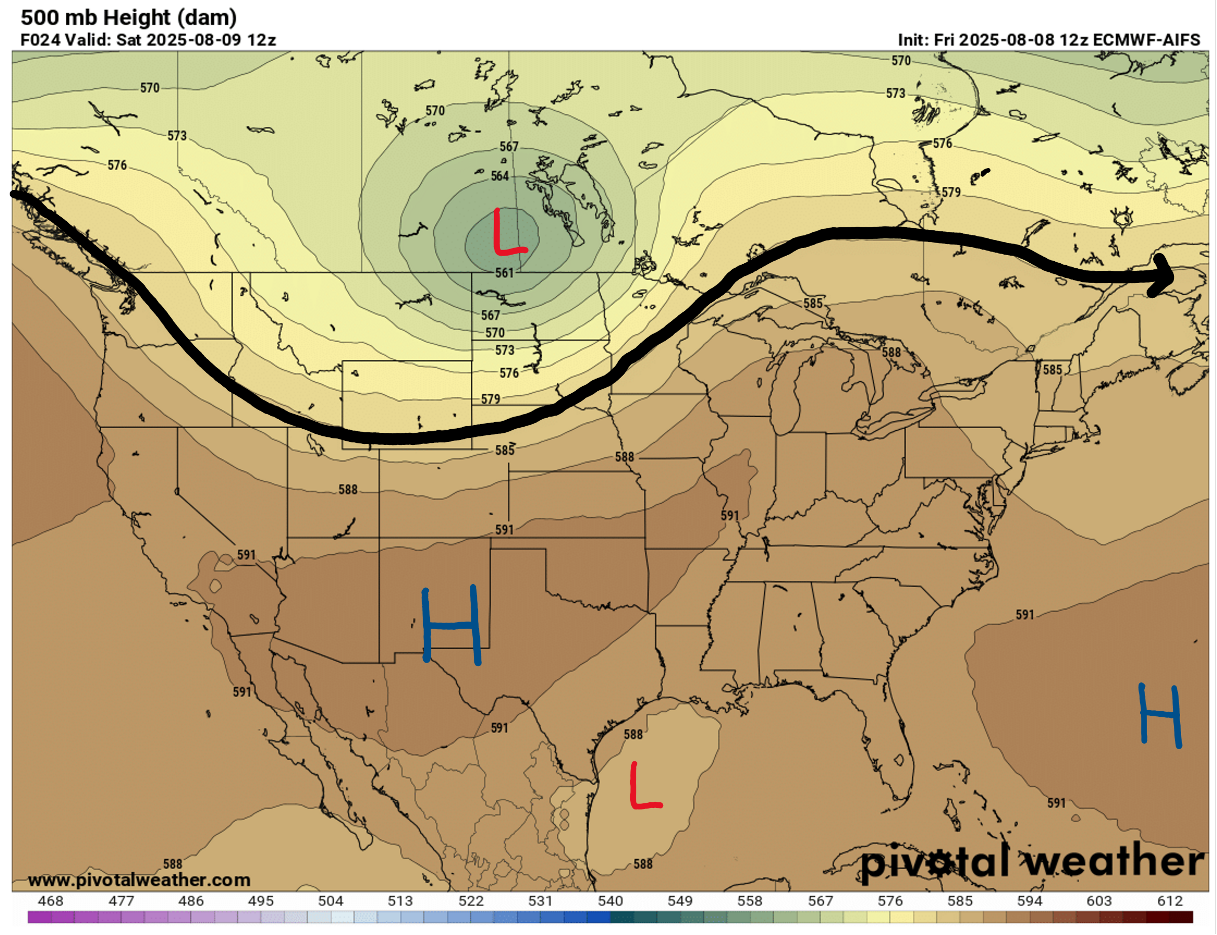
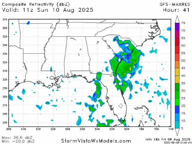
Similarly to yesterday, we are still under a ridge that is bringing us this sunny and mostly rain-free day. Tomorrow, the pattern will change and a trough will begin to form out west, and then throughout this next week will moving eastward. This unfortunately means increased afternoon shower and thunderstorm chances, though it is unlikely that these storms will be very severe.
As for our surface chart, the stubborn stationary front that’s been lingering across the Gulf and into the Atlantic may bring a couple storms out west toward us, but the vast majority will be east of Alabama. Northern Mississippi and Alabama are even in the clear for today.

This Weekend’s Weather:
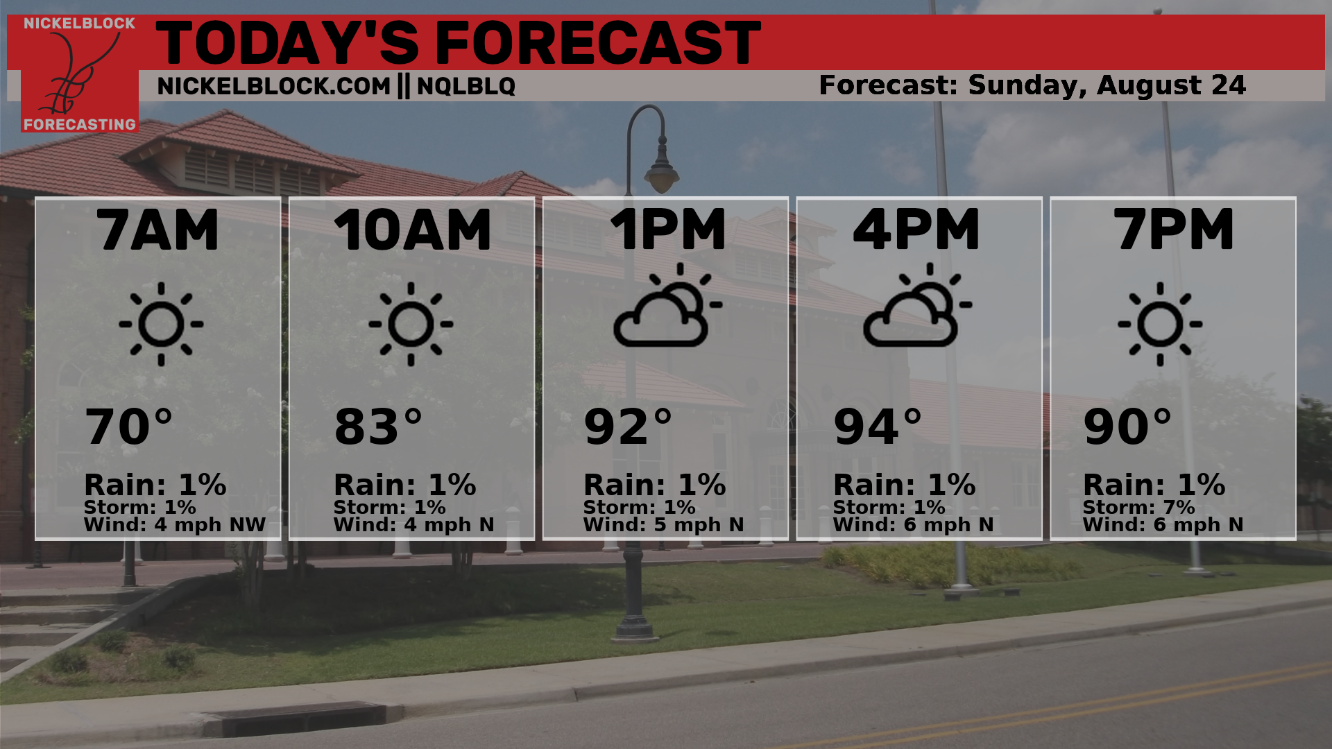

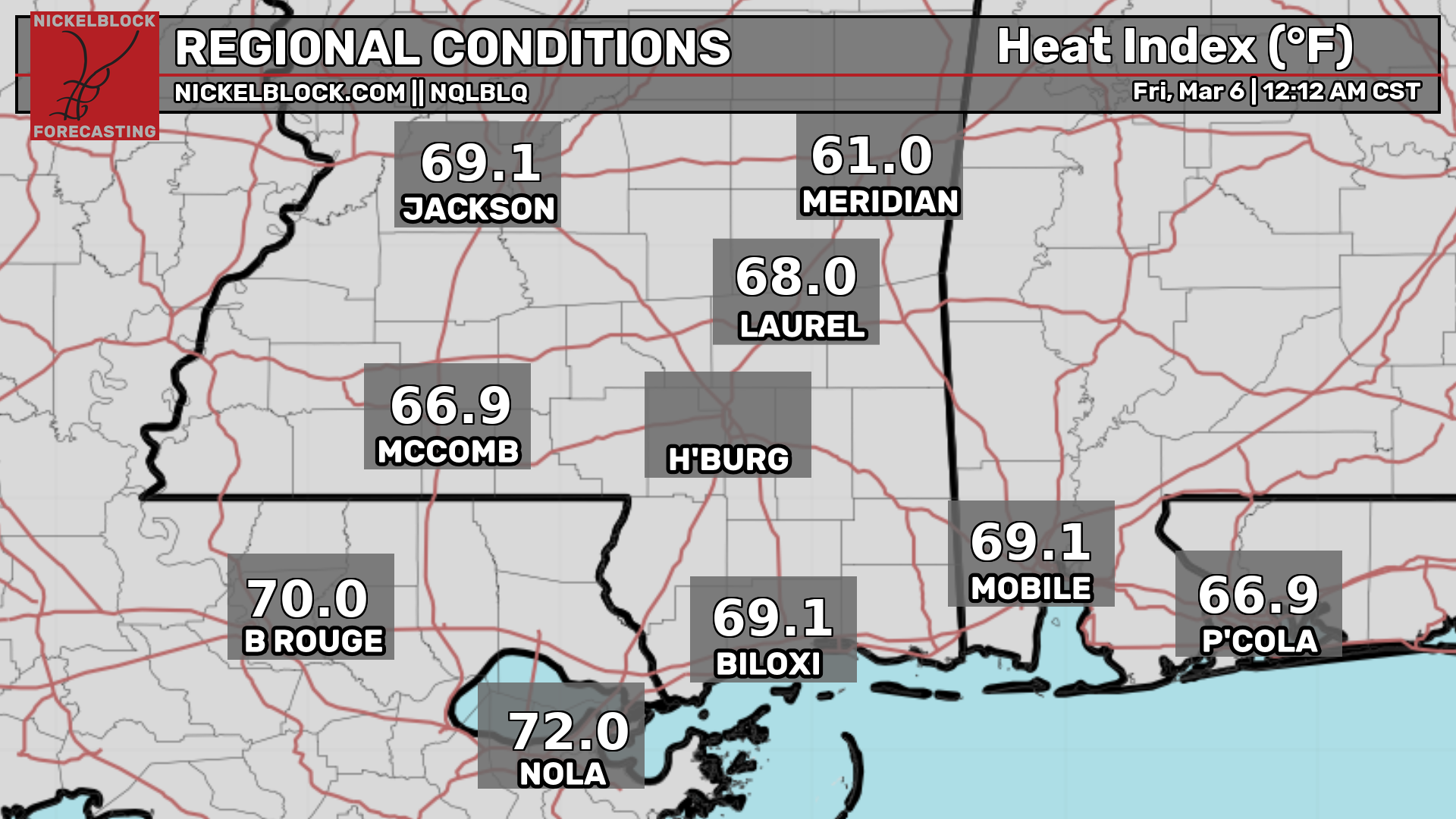
Temperatures will sit around the low 90s today with heat indices reaching almost 100 degrees across the board or even getting close to 105 degrees depending on your exact location. These same low 90s temps and 100 degree heat indices will stay more or less the same tomorrow.
For current conditions in you area, you can check out the current temperature and heat index here:

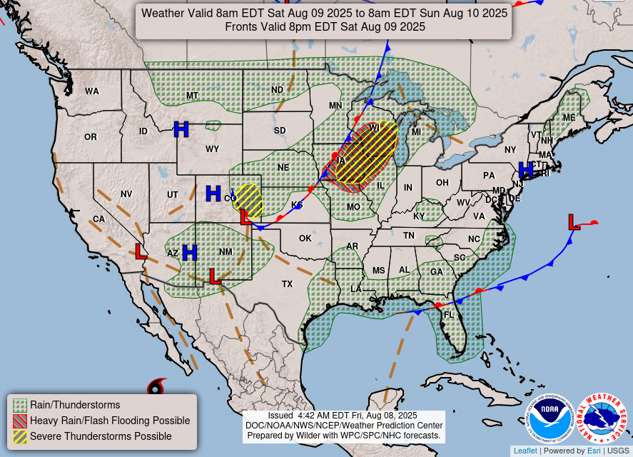
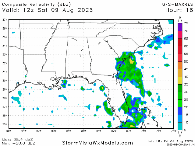
Today we can expect sunny skies with minimal cloud cover during the day, and luckily most of our area will avoid the typical afternoon showers and likely not see any rain today. Today would be a solid beach day for those on the Gulf Coast, as the rip current risk is low today, too! Tomorrow is when we will begin to see storms and rainfall increase, due to the shifting weather pattern in the upper-air. You can also take a look at the radar on the NickelBlock app, or right here:
Next Week’s Weather and Beyond:

Now moving into next week, the incoming trough will mean that 50% or more of our forecast area will likely see rain or thunderstorms every afternoon and/or evening this week. By the end of the week, the troughing will being to fall apart and the rain chances will diminish. Toward the middle of the week, high temperatures will increase slightly, to around the mid 90s.
Regional Day-to-Day Forecast:
Today: Mostly sunny during the day, with a slight chance of showers in the afternoon. Highs in the low 90s. Chance of precipitation 20%.
Tonight: Slight chance for showers and thunderstorms early in the evening, then mostly clear. Lows in the low 70s. Chance of precipitation 20%.
Sunday: Mostly sunny during the morning with a chance of showers and thunderstorms in the afternoon and evening. Highs in the low 90s during the day and lows in the mid 70s at night. Chance of precipitation 50%.
Monday: Mostly sunny during the morning with a chance of showers and thunderstorms in the afternoon and evening. Highs in the low 90s during the day and lows in the mid 70s at night. Chance of precipitation 70%.
Tuesday: Mostly sunny during the morning with a chance of showers and thunderstorms in the afternoon and evening. Highs in the low 90s during the day and lows in the mid 70s at night. Chance of precipitation 60%.
Wednesday: Mostly sunny during the morning with a chance of showers and thunderstorms in the afternoon and evening. Highs in the mid 90s during the day and lows in the mid 70s at night. Chance of precipitation 60%.
Thursday: Mostly sunny during the morning with a chance of showers and thunderstorms in the afternoon and evening. Highs in the mid 90s during the day and lows in the mid 70s at night. Chance of precipitation 50%.
Friday: Mostly sunny during the morning with a chance of showers and thunderstorms in the afternoon and evening. Highs in the mid 90s during the day and lows in the mid 70s at night. Chance of precipitation 50%.
Saturday: Mostly sunny during the morning with a chance of showers and thunderstorms in the afternoon and evening. Highs in the mid 90s during the day and lows in the mid 70s at night. Chance of precipitation 40%.


