I’m a bit torn on the risk for severe weather tonight and through tomorrow morning. And this really does look like a “boom or bust” kind of event. Either you’ll see a storm with heavy rain, lightning, wind gusts up to 70mph and small hail… with a chance for a tornado. Or! You’ll see a few gusts of wind, some brief heavy bursts of rain, a crack of thunder and that’ll be about it.
I have good reason to be split: The hi-res guidance is a bit split on things, too. So I want to start there, because I think it is important to fully contextualize the risk for storms.
Some Data
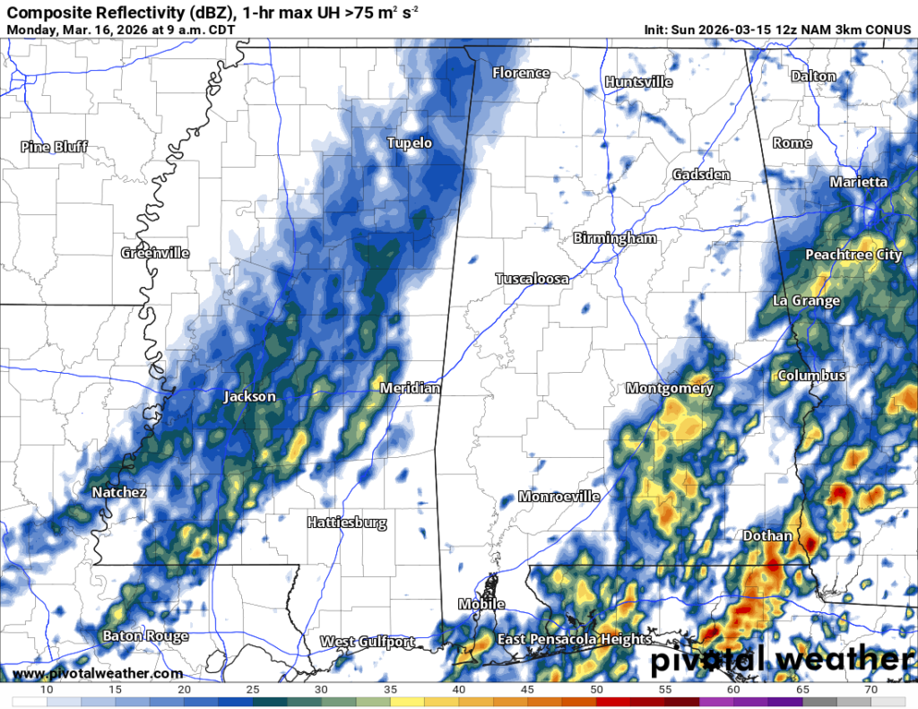
Below is a split between the HRRR model and the RRFS model. And these are only two of about 10 models worth looking at.
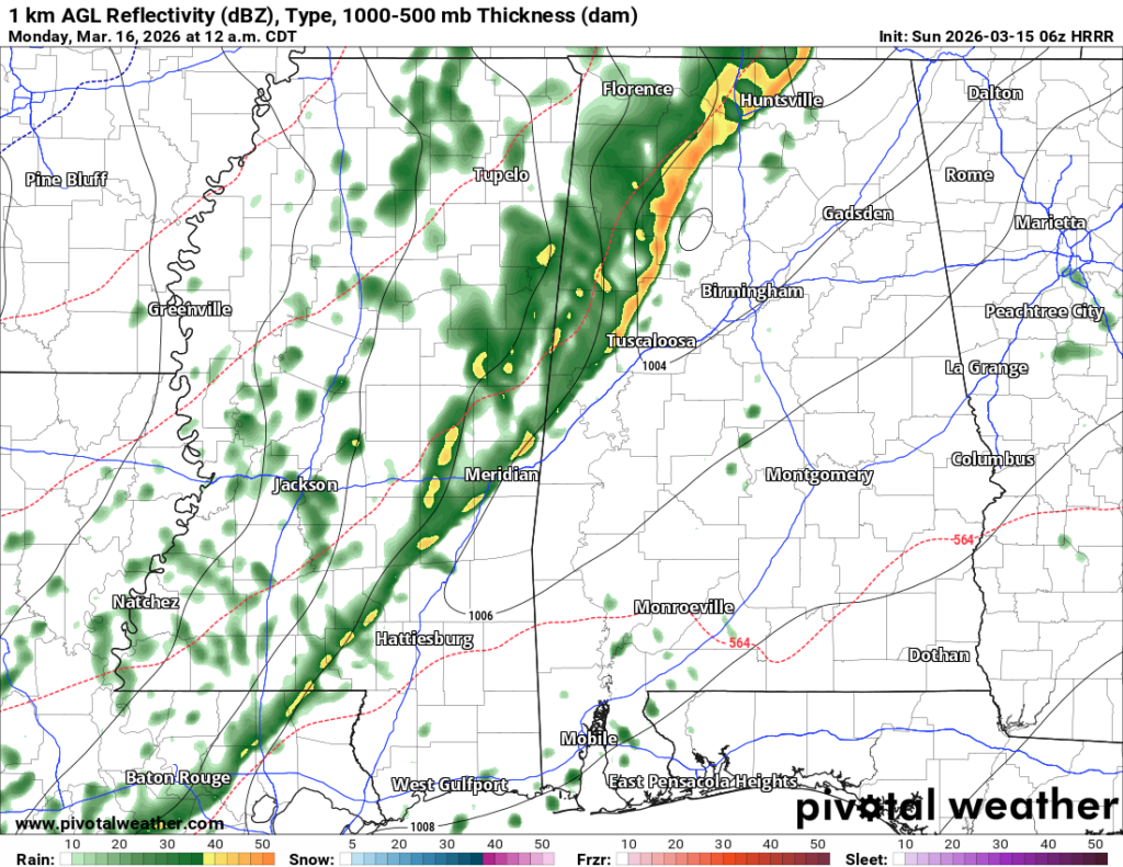
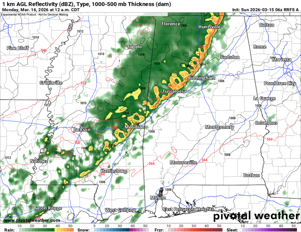
All split. You look at one and it shows some stronger storms and the risk for severe weather. And then the next shows not much at all.
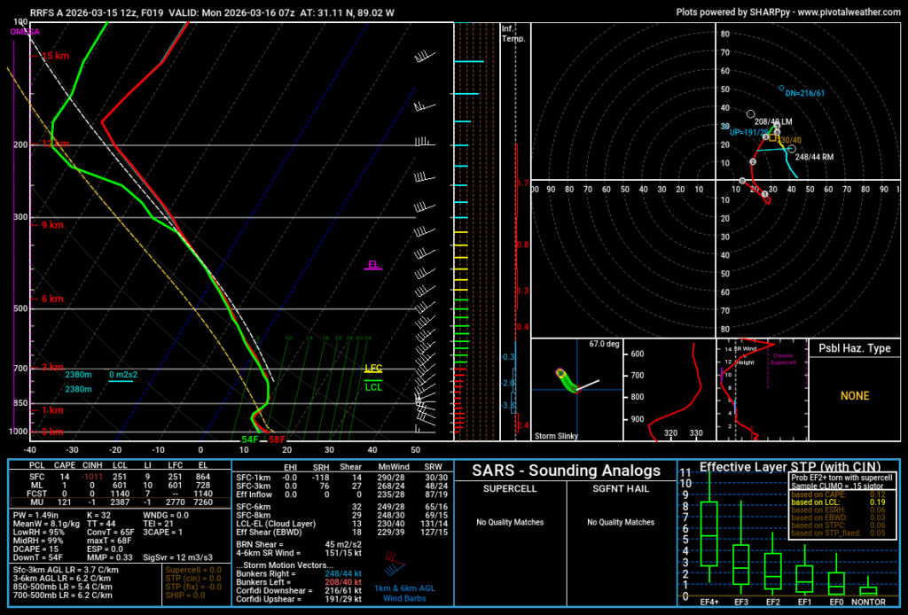
I wonder if a big part of it is Lapse Rates, but I’m not fully sold on that, either. Recall that a “lapse rate” is the rate the temperature changes from one altitude of the atmosphere to another. a surface to 9,000ft Lapse Rate, for example, is an important one around here for developing the lo-level “umph” we need for storms to get off the ground. The higher the number, the easier it is to get stronger storms.
Our Lapse Rates on the model guidance for that section of the atmosphere are not terribly high.
And part of that might be because the front may “out run” the storms. By the time one of these models (the RRFS again) shows storms getting “robust” in our area, it also shows the atmosphere (second image shown here) no longer “Surface-based.”
In English? The cold front undercuts the storms ability to use the warmth at the surface as fuel. That limits the tornado threat to near zero and limits the risk for “big” wind gusts (greater than 50mph) to pretty low, too. We can still see heail and heavy rain, but the risk for the roughest of the rough goes down.
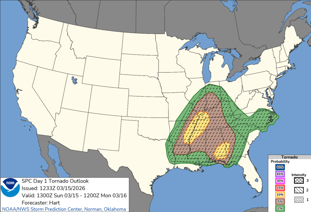
The Storm Prediction Center even has the severe risk kind of hopscotch us. The show the risk for tornadoes either farther north or to tour east. Our threat isn’t zero. But it also isn’t 5% or 10%, either.
Part of this may be the orientation of the front as it passes through. Part of it may be our proximity (or lack of) to the parent area of low pressure. And part of it may be the return flow for our area simply isn’t as good. Or maybe it is those Lapse Rates.
There are a lot of “Failure modes” to this forecast.
A “failure mode” in the weather world is simply a scenario which occurs to limit he risk for storm imitation and the risk for severe weather
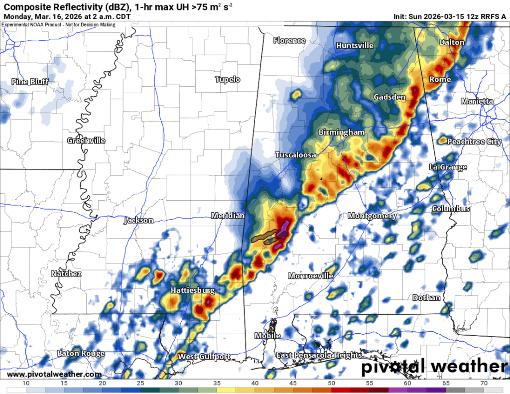
But if one of those failure modes doesn’t happen, we could see another round of some pretty robust storms. Probably not as robust as the storms just a few days ago, but still the risk for heay rain, lightning, wing suts up to 70mph, hail up to the size of quarters and the risk for a few tornadoes. Tornado strength, based on what I’ve looked at, would peak at an EF-2.
Timeline
Looking at the tomeline, this is going to be a quick hitter. I don’t think we will have lingering moderate rain like we did last time.
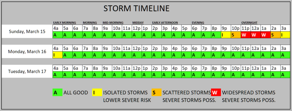
For folks closer to I-20 and Jackson the rain will start earlier. For those closer to I-10 and Mobile things will start later. But generally the line will pass through the area later tonight and into early, early, early tomorrow morning.
And again, the main concern for a “worst case scenario” event for our area is brief heavy rain, lightning, wind gust sup to 70mph, hail up to the size of quarters, and the risk for a few tornadoes.
Once the front passes, we may get a brief window for something kind of “fun”
Batch of Sleet
Some model guidance is also showing a brief window between about 7a and 10a for parts of the area to get a quick burst of sleet. Yeah. Sleet.
Now, air temperatures will be well above freezing down at the surface… around 45-degrees. Ground temperatures will be in the 50s and 60s. So, no accumulation and no travel issues are expected.
But between 7a and 10a you may here some pings on your metal roof or some tings on your car’s hood. The last “good bye” of Wintry Precip for the year, most likely.


