Hurricane Season? Already?
Right now, we are in the middle of the transition period into tropical season. Did you know that hurricane season in the East Pacific starts 16 days earlier than in the Atlantic? The Atlantic hurricane season begins officially on June 1, while the East Pacific gets going on May 15. Well-aligned ocean currents distribute warm water from the Equator into more hurricane-favorable areas to the north, and, unlike the Atlantic, there’s no dry air blowing off the Saharan Desert that disrupts storm formation during mid to late Spring.
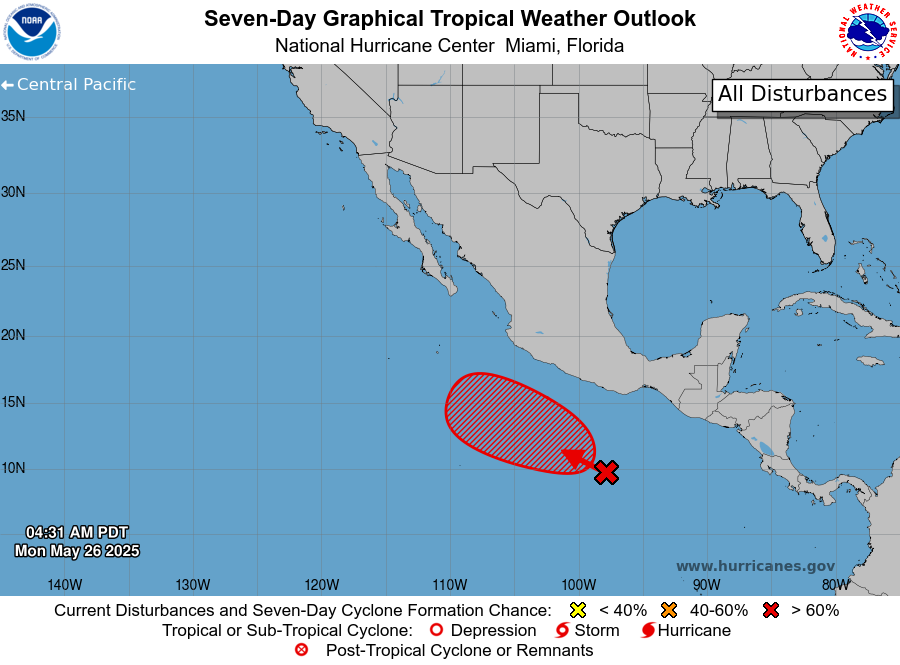
Today’s tropical situation is a good example of why hurricane season starts earlier in the East Pacific. Our friends at the NHC have given a disturbance due south of Mexico a 90% chance of becoming a tropical depression in the next 7 days.
Discussion
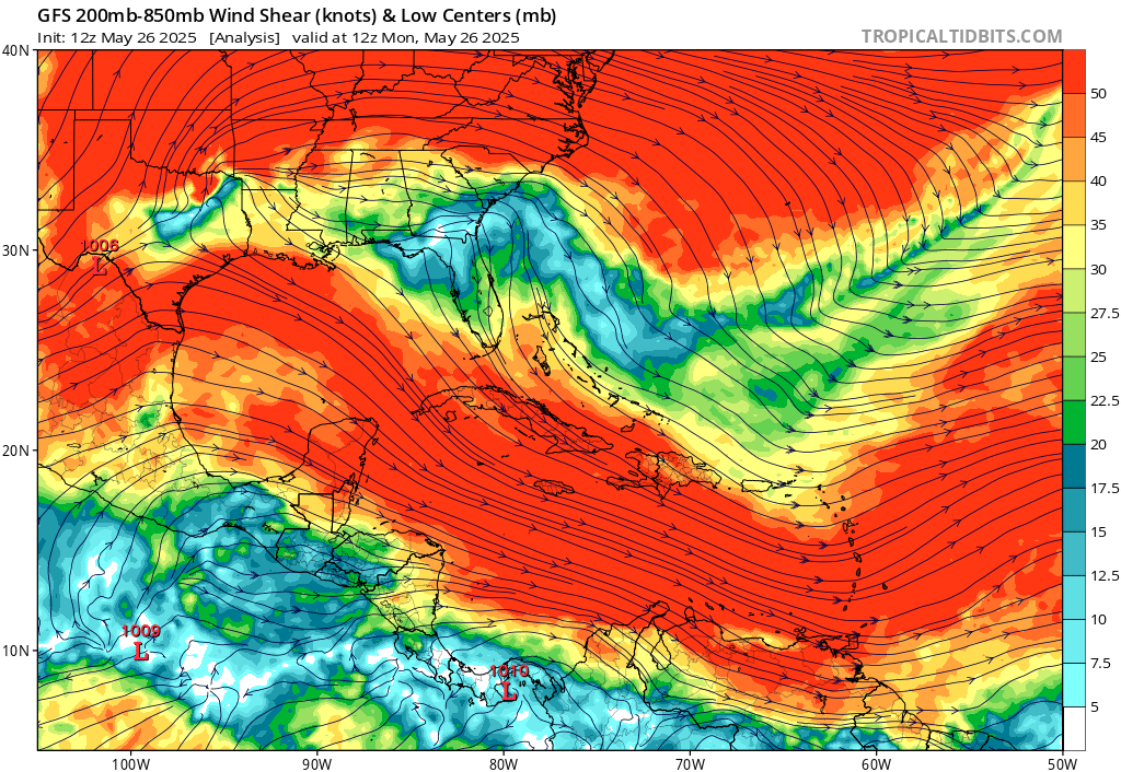
Despite the currently disorganized nature of this disturbance, I agree that tropical formation is likely. This system is entering a very favorable environment, with sea surface temperatures above 83 degrees Fahrenheit, CAPE values solidly above 1500 J/kg, and little wind shear.
This good news is that most ensemble members don’t have the center of this storm getting close to the Mexican mainland, although some members do steer the storm close enough to Mexico for there to be heavy rain, particularly in the states of Michoacan, Colima, and Jalisco. And since the northeast quadrant of the storm would be the party making landfall, a tornado or two cannot be ruled out if local wind shear is higher. Any impacts if at all would occur in 5-8 days.
Any storm impacting this part of Mexico reminds a seasoned forecaster of Hurricane Otis back in 2023, which underwent an unexpected Rapid Intensification into a Category 5 hurricane before making landfall at Aculpuco. That was a generational storm that is unlikely to be repeated any given year, but it goes to show how storms in this part of the world are prone to do unexpected things. It wouldn’t surprise me if this disturbance reached tropical storm status and got a name, so it bears watching.
Looking Ahead
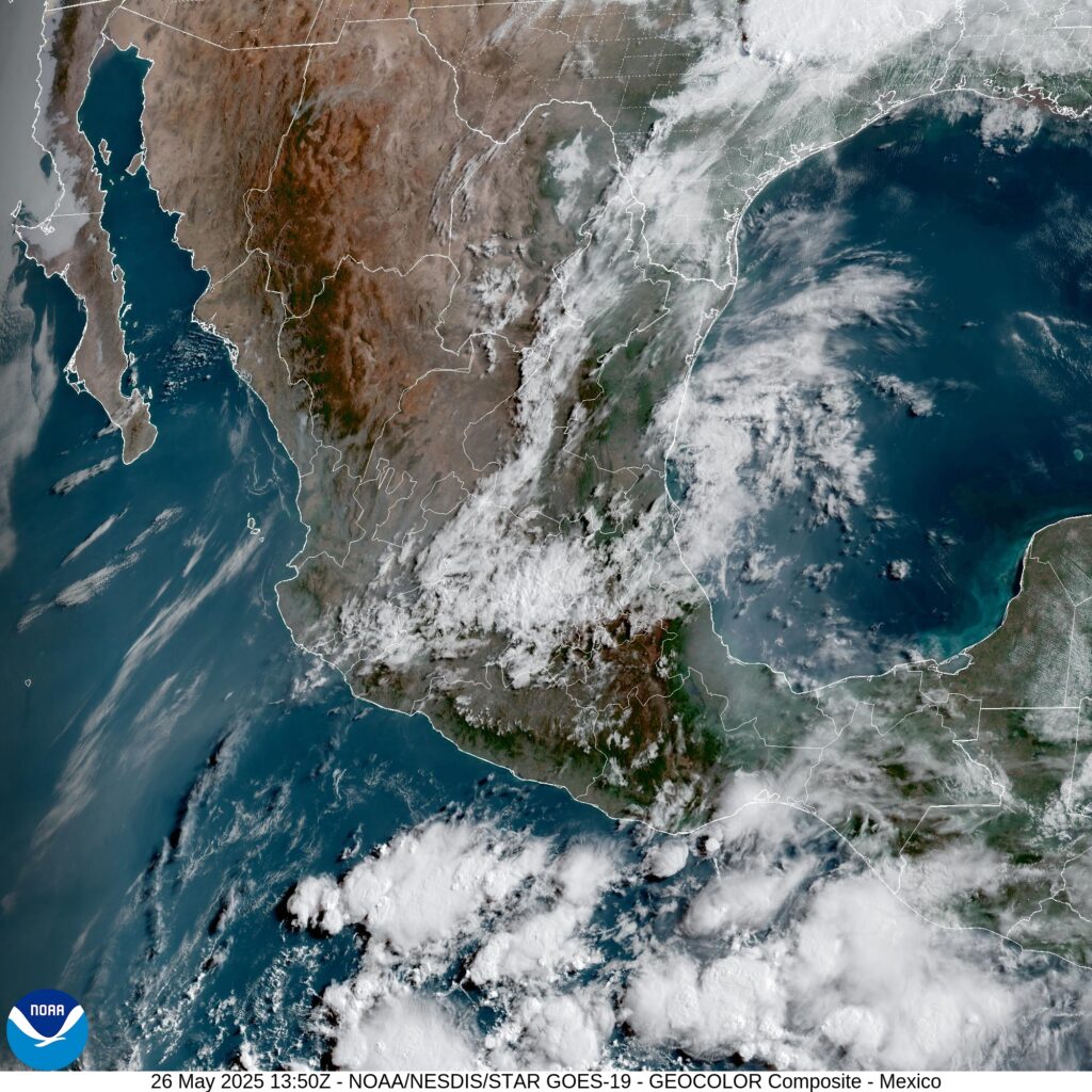
Water temperatures are still not warm enough to support tropical development in the Atlantic Ocean. Keep in mind that is is still the preseason for the Atlantic. Nothing else is anticipated to develop this week. Into next week, some models are signaling tropical formation in the Gulf of Mexico, where warm water temperature and instability are conducive to storm development, although shear may be too high and moisture too low.
For those of us in the United States, the current risk from tropical weather is low. Interests in southwestern Mexico should keep their eye on the disturbance, although a landfall seems unlikely at this time.


