Hey everyone! We are officially 3 more days from the beginning of Atlantic Hurricane Season, which runs from June 1st to November 30th. While there are no disturbances or tropical cyclone formation expected in the Atlantic Basin in the next 48 hours, we are watching the potential for Tropical Storm Alvin to form by today. By the time you are reading this, there is a very good chance that it has already been named a tropical storm! Let’s take a deep dive into the specifics.
Eastern Pacific Disturbance

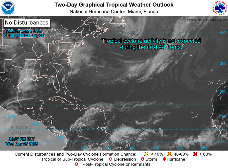
The National Hurricane Center (NHC) is keeping a close eye on a disturbance, southwest of the Pacific Mexican coast. Satellite imagery shows an organized area of showers and thunderstorms around an area of low pressure. At the current moment, the showers and thunderstorms lack a well-defined center – but it is moving into a favorable area for tropical development. The NHC has a 100% chance of tropical development in the next 48 hours, so this will definitely be forming into something to watch.
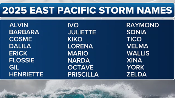
The tropical system will be named Alvin, the first name in the 2025 East Pacific storm names.
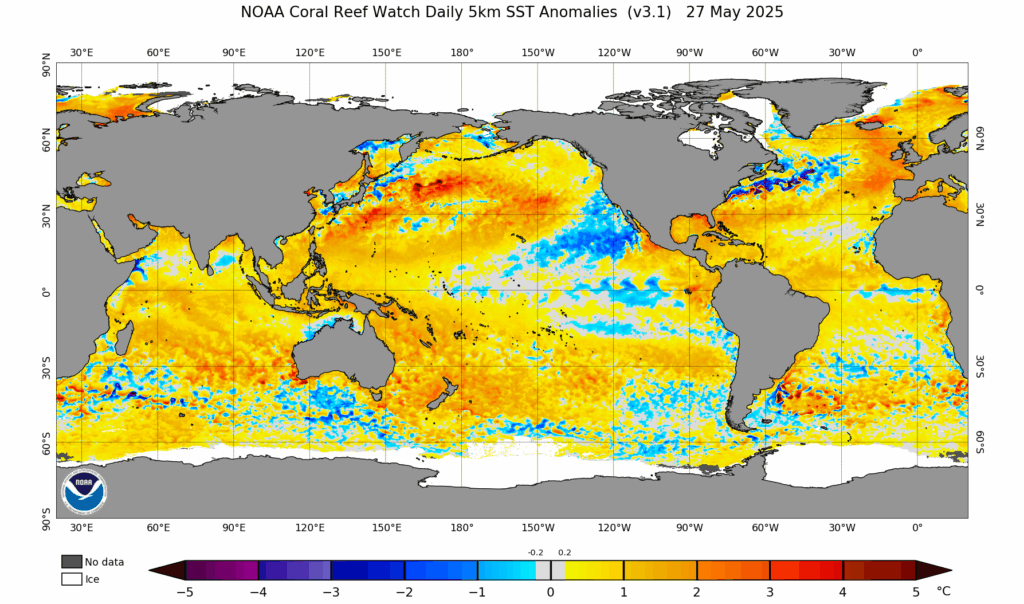
The main fuel for this tropical system is the warmer than average sea surface temperatures in the eastern pacific, specifically where the disturbance is meandering. This is giving the system the energy it needs to further develop.
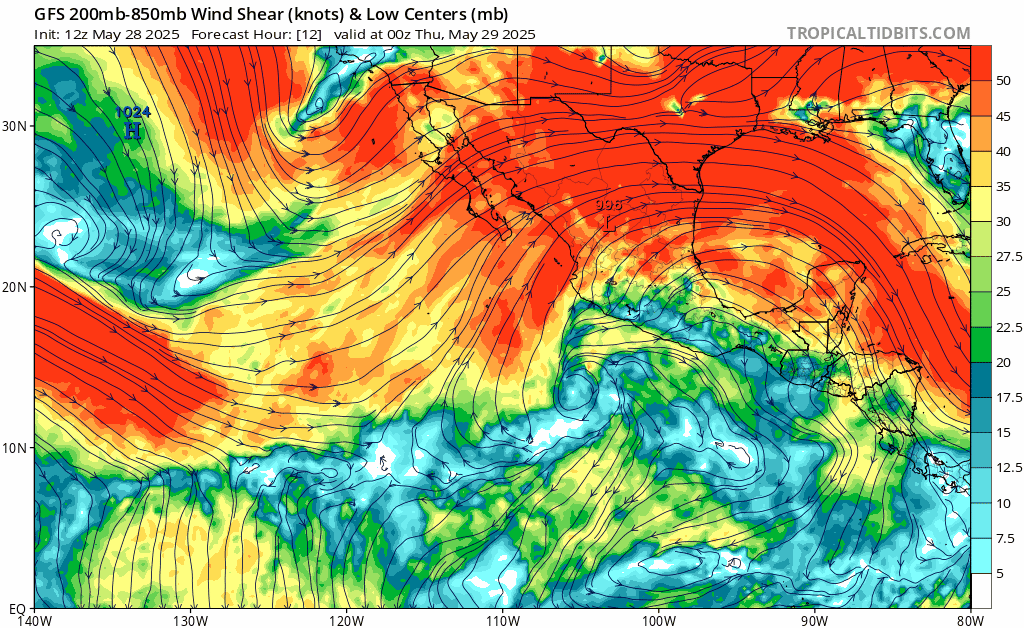
Not only does the tropical disturbance have warm waters to feed on, it also is in a low-shear environment. Tropical storms and hurricanes require little to no shear to stay organized. Just think about it; if there are winds blowing in different directions and speeds at the lower/upper levels of a tropical system, the organization will just fall apart, and it will be hard to get itself reorganized. Some are able to regain it’s organization, but others aren’t always as lucky. So, Alvin will get itself organized and form at least a tropical storm. However, it then moves into a more harsh environment, with cooler ocean temperatures and increased wind shear. This is the limiting factor for the system. We will see how intense it gets, but most guidance has it as a tropical storm upon possible landfall with the Mexican coast on Sunday.
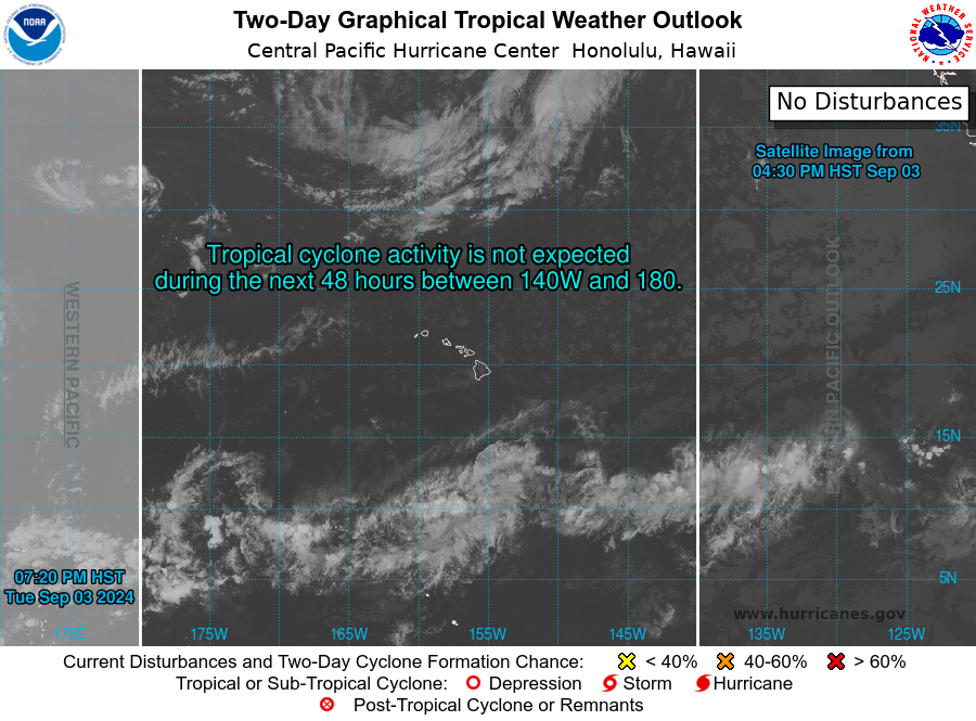
Atlantic & Central Pacific Quiet… for now
While the Eastern Pacific is starting brew up a disturbance, the Atlantic and Central Pacific are not expecting any disturbances in the next 7 days.
")
The Atlantic Hurricane season will begin in just 3 days, from June 1st to November 30th! The NHC is expecting a 60% chance of an above average hurricane season, with 13-19 named storms, 6-10 of which will be hurricanes, and 3-5 of which could be major hurricanes! The NHC’s reasoning for this above average seasonal outlook is due to the continued ENSO-neutral conditions, warmer than average ocean temperatures, weak wind shear, and the potential for higher activity from the West African Monsoon, a primary starting point for Atlantic hurricanes. All of these elements tend to favor tropical storm formation. We will be keeping a close eye on the tropics for you!


