For the first time this summer, it seems like the eastern Pacific basin is quiet?! Yes, there is a lull in tropical activity for the next 7 days, and the same goes for the Atlantic. Let’s look at what’s going on:
Atlantic Basin Setup

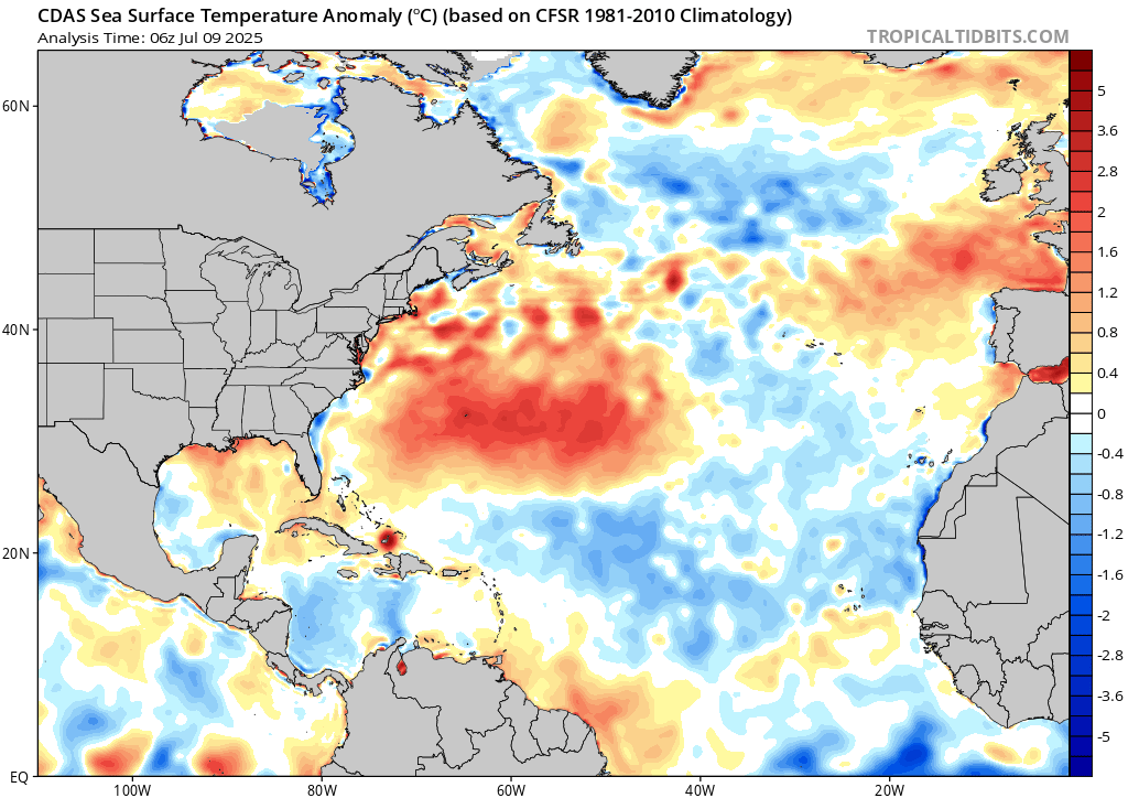
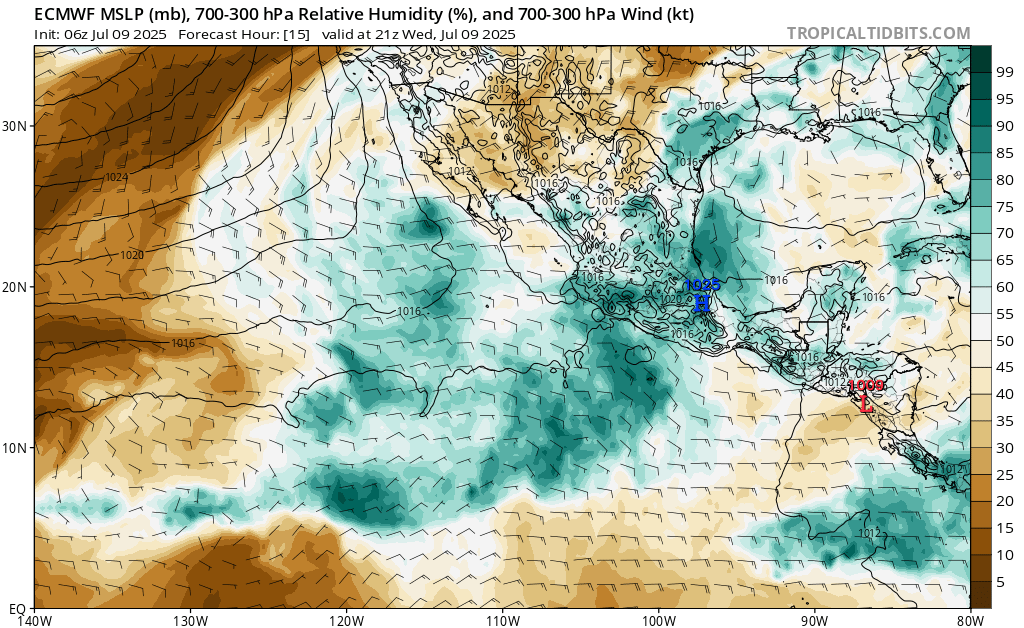
Looking at our hand drawn highs and lows and steering flow for the Atlantic Basin, there are no areas of concern for the next 7 days. The reason being is that there is high pressure dominating the area. Also, just look how much dry air is infiltrated in the basin, shown in the orange and brown colors in the relative humidity video. Even if something were to try to form in the eastern Atlantic off of Africa, it would have a very hard time keeping itself organized. Sea surface temperatures are also still cooler than average in the eastern Atlantic, which is typical for this early in the hurricane season. I would be more concerned with tropical activity originating in the gulf or central America, closer to home. We don’t have much issue with getting dry air, as we all know, and sea surface anomalies are above average, at least for the gulf. We will give you the latest on any potential activity!
Eastern Pacific Setup
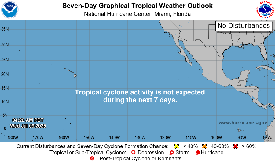
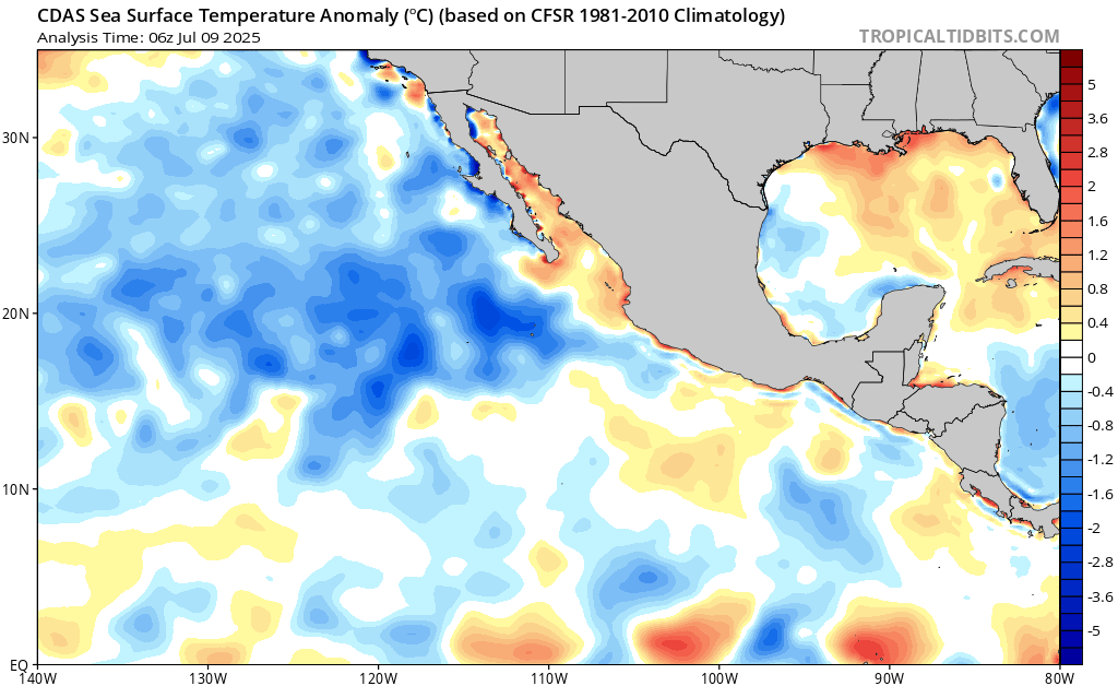
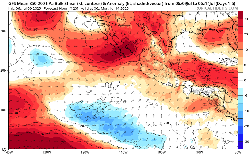
Currently in the eastern Pacific basin, there is no tropical activity expected in the next 7 days, says the National Hurricane Center (NHC). However, there is a chance that something could form during this time. At the time of possible development, there will be less wind shear than average, lot’s of tropical mositure, and around average sea surface temperatures (which are still very warm). Overall, though, the basin has definetly cooled down a bit, since we have had so many system chop up the sea. We will keep you updated on the latest developments from the NHC if an area of watch becomes posted.
Continue to check back for the latest updates!


