We saw a washout in parts of the Pinebelt and south Louisiana today with storms meandering for a few hours this afternoon. Tonight, the rain will die down for a bit and winds will calm enough for some patchy fog to enter the area. The patchy fog will continue for the next several days as we won’t have a lot of moving air thanks to the Atlantic high pressure zone.
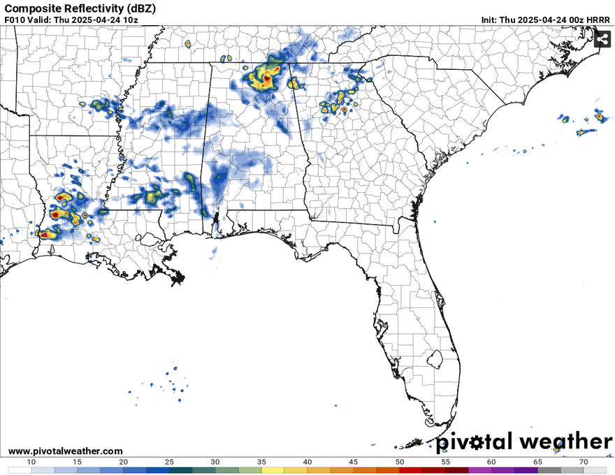
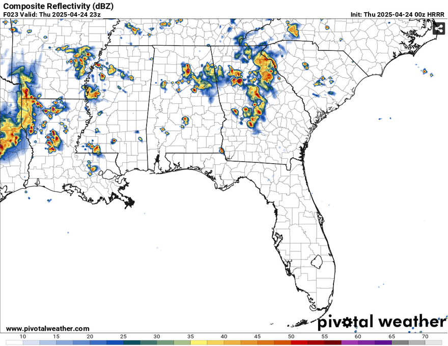
Rain and thunderstorm chances will be a bit mixed for the next several days as we have just enough southerly inflow from the surface and overhead to help thunderstorm development. The cold front will be stalled until the latter part of the weekend until a high pressure from central Canada moves southeast on Monday. Thursday and Friday will have scattered thunderstorms possible during the afternoon. The GFS and European models differ quite a bit on how much rain we’ll see, but I think we’ll at least get some thunderstorms across much of the Pine Belt. Expect temperatures in the mid to upper 80s and lows in the mid 60s.
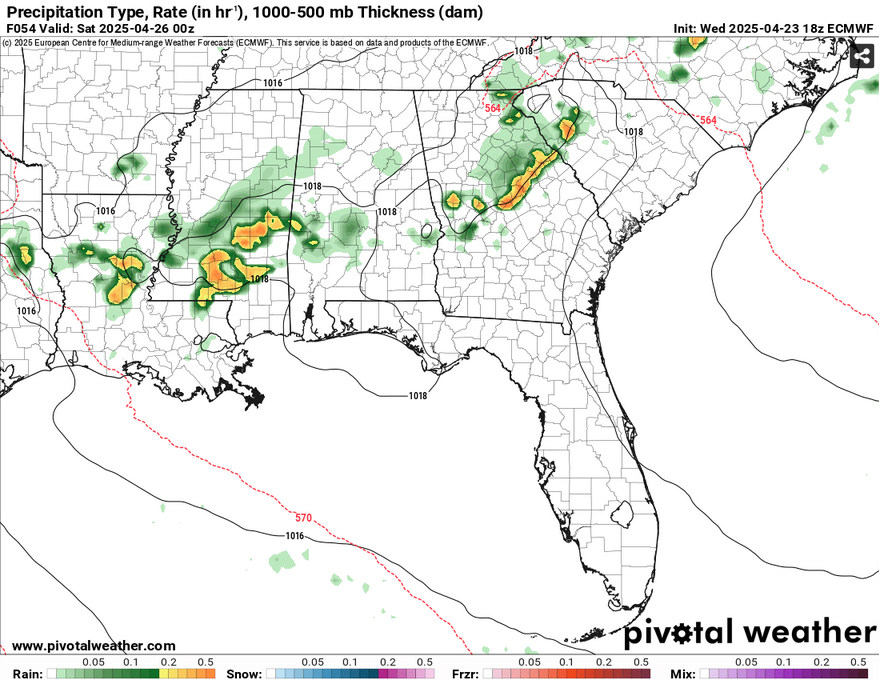
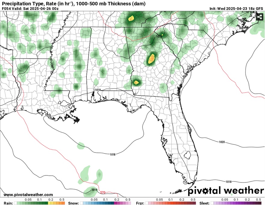
Saturday and Sunday are similar stories with more afternoon thunderstorms possible, this time with a little more direction. Due to the high pressure system moving the cold front further south, we’ll have more northwesterly flow driving these storms. These will be more isolated to scattered across the area, but do plan to move indoors if the rain moves in. Temperatures will reach the 90 mark during the day and the low to mid 60s at night.
When the cold front moves in, we’ll have a brief reprieve from the rain for Monday and Tuesday as the high moves further east. Temperatures will be quite warm with us reaching around 90 on Monday and the upper 80s on Tuesday. By Wednesday, we’ll have a similar story to this week with the Canadian high taking over the Atlantic and another chance for scattered thunderstorms.
[wpcode id=”41179″]
Regional Day-to-Day Forecast
Tonight – A chance of showers and thunderstorms. Patchy fog after 4am. Otherwise, cloudy, with a steady temperature in the mid 60s. Calm wind. Chance of precipitation is 20%.
Thursday – A chance of showers, with thunderstorms also possible in the afternoon. Patchy fog before 8am. Otherwise, cloudy, then gradually becoming mostly sunny, with a high in the low to mid 80s. Light and variable wind becoming south 5 to 10 mph in the morning. Chance of precipitation is 30%.
Thursday Night – Patchy fog after 3am. Otherwise, partly cloudy, with a low in the low to mid 80s. South southeast wind around 5 mph becoming calm in the evening.
Friday – A 30 percent chance of showers and thunderstorms in the afternoon. Patchy fog before 9am. Otherwise, partly sunny, with a high in the mid 80s. Calm wind becoming south around 5 mph in the afternoon.
Friday Night – Patchy fog after 3am. Otherwise, partly cloudy, with a low in the low to mid 60s. South wind around 5 mph becoming calm.
Saturday – A 30 percent chance of showers and thunderstorms in the afternoon. Areas of fog before 8am. Otherwise, mostly sunny, with a high near 90. Calm wind becoming south southwest around 5 mph.
Saturday Night – Patchy fog after 2am. Otherwise, partly cloudy, with a low in the low to mid 60s. Calm wind.
Sunday – A 20 percent chance of showers and thunderstorms in the afternoon. Patchy fog before 8am. Otherwise, sunny, with a high in the low 90s. Calm wind becoming south southeast around 5 mph.
Sunday Night – Patchy fog after 5am. Otherwise, mostly clear, with a low in the low 60s. Calm wind.
Monday – Patchy fog before 8am. Otherwise, sunny, with a high in the low 90s.
Monday Night – Partly cloudy, with a low in the mid 60s.
Tuesday – Partly sunny, with a high in the upper 80s.
Tuesday Night – Mostly cloudy, with a low in the mid 60s.
Wednesday – A 30 percent chance of showers and thunderstorms. Mostly cloudy, with a high in the mid 80s.
[wpcode id=”41149″]


