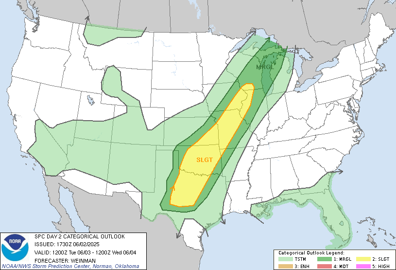
Tropical Storm Alvin has run its course. All that’s left of it now is some extratropical moisture in the Great Plains, which may provide some fuel for a severe weather risk. As of writing, the Storm Prediction Center has issued a slight risk for an area stretching from the Driftless Area of Wisconsin all the way down to the Waco, Texas area. It’s possible this risk will be upgraded by the time you read this, but for now, there exists a 15% risk of damaging winds within 25 miles of a point in this slight risk area, and a 2% such risk for tornadoes. There’s also a 15% hail risk in the southern portion of the risk area.
First Sign of Trouble in Atlantic
The National Hurricane Center has outlined an area off the coast of Georgia and South Carolina as having a 10% chance of tropical development. This is more of a fundamentals-based prediction, as very few major models show tropical formation.
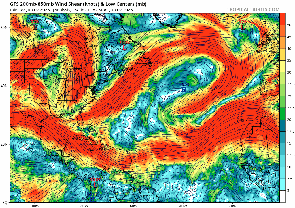
This is likely because the low pressure the system would form around isn’t in the ocean yet. It is expected to form in the Southeastern US later this week then move offshore, although this in of itself is far from a sure thing with how messy things are down there right now. This low has a very short window this Friday into Saturday of being able to organize itself into a tropical storm, as it will be fighting wind shear all week. Ocean waters are just warm enough, but the moisture content is questionable.
I’m skeptical that this will form into anything too major, too much has to go “right” for this storm to really get going. If it does form, it’s name will be Andrea. But there’s little reason that Andrea won’t just continue to march east, safely away from shore. Perhaps Bermuda would be at risk, but this storm seems unlikely to impact American shores beyond perhaps an outer band of rain or two and choppier surf.
Hurricanes that form in this part of the Atlantic do have a propensity to crawl up the East Coast. But in the case of this storm, a northern shift seems unlikely as the Bermuda High isn’t optimally aligned this early in the Hurricane Season, and it seems as if no other steering mechanism will be close enough to change the track of a hypothetical Tropical Storm Andrea.
Another Storm to Follow Alvin’s Footsteps?
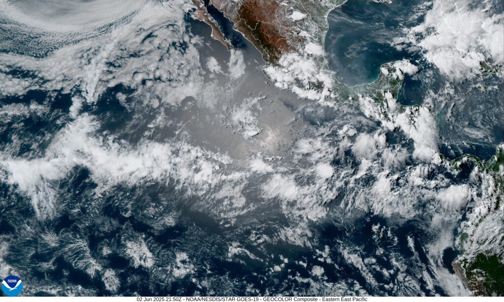
The National Hurricane Center has highlighted an area south of Mexico, very near where Alvin initially formed, that has a 40% chance of tropical storm development in the next 7 days.
At present, just like with Alvin, a disorganized band of showers and thunderstorms are over the Pacific Ocean south of Mexico, moving over very warm water. There is evidence of converging winds as well near the moisture. The wild card, just like with our area of interest in the Atlantic, is wind shear. The shear over this area won’t be quite as oppressive, but still potentially strong enough to break this storm before it is able to sustain itself.
The AI models, that didn’t do the best job at forecasting Alvin, are bearish on a storm forming in this area. The traditional models which did better do have a tropical storm forming here this weekend.
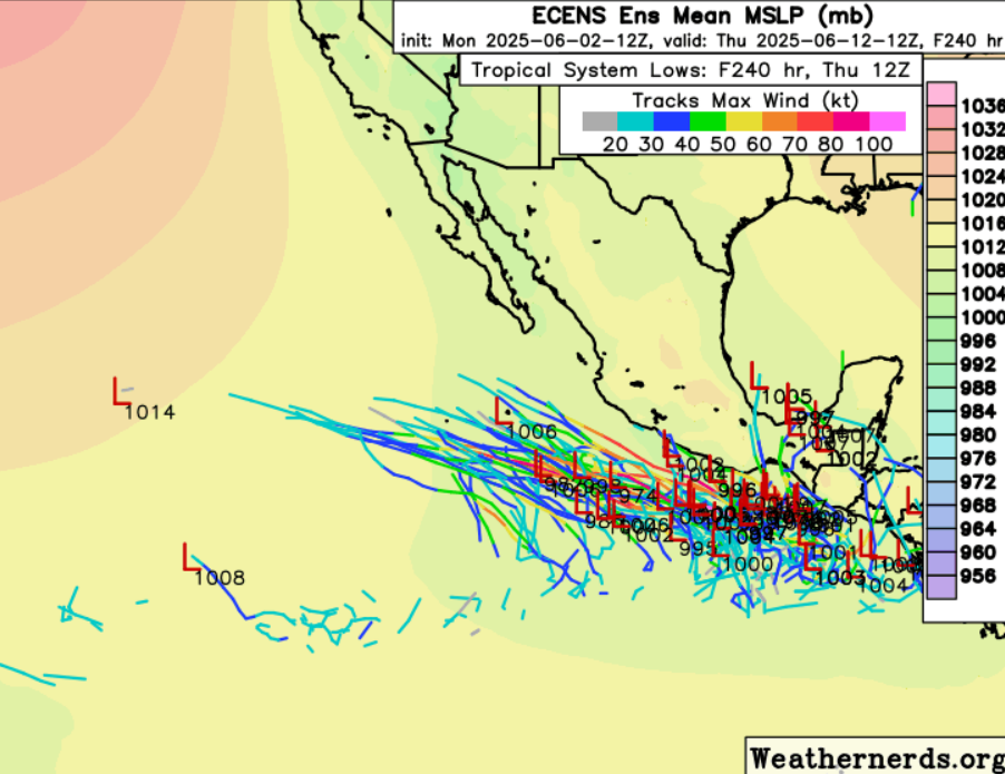
If this storm forms, most ensemble members have it moving nearly due west into the Pacific, with perhaps a slight northward pull from a low pressure over the U.S.-Mexico border. Besides some rainbands in southern Mexico, this will mostly be a fish storm. But as with any system in this under-measured part of the world, it would be good to keep a close eye on this one.
Extended Outlook
Two areas to watch in the 1-2 week time frame are the Gulf of Mexico, where ocean waters remain warm and there exists a weak model signal for cyclogenesis, as well as the area where Barbara is forming, no reason to expect that area to become less favorable for tropical development in the near term.
Conclusion
Stay tuned to Nickelblock Forecasting for more updates on our two areas of interest. The most likely spot for tropical activity within 7 days is south of Mexico, but there is also a slight chance of development off the coast of Georgia and South Carolina. If storms form in these areas, both are expected to quickly move out to sea.
[wpcode id=”41149″]


