General Central/Eastern Kansas Forecast
Short-Term (Wednesday-Thursday)
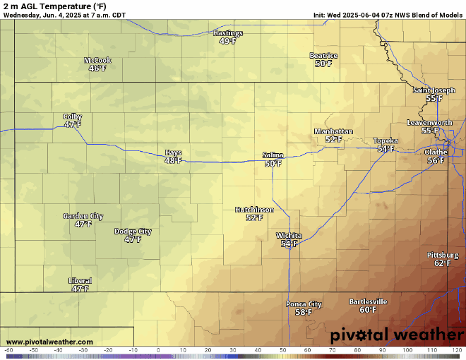
Drier conditions will set in today as a surface high-pressure system slides in from the north behind the departing cold front responsible for yesterday’s rain event. Temperatures will be pleasant behind the cold front today, with widespread highs in the mid 70s. Winds will be largely out of the north-northeast today at 5-10 mph, becoming light and variable overnight. Low temperatures will range between the upper 50s in north/central Kansas to the mid 60s in southeast Kansas.
By tomorrow, winds will begin to have a more easterly and southerly component in response to a developing surface low in eastern Colorado, which will in turn see the return of our moisture once again (with dew point temperatures climbing back to the mid/upper 60s by tomorrow afternoon). This, paired with another small-scale disturbance aloft passing through, will help increase the chance for scattered showers and thunderstorms in the evening and overnight hours. Some of these storms may be severe, with damaging wind being the main threat. The areas with the best chance at seeing these severe storms will be south of US-400. Heavy rainfall may arise once again due to the substantial amount of moisture present. Temperatures will be similar to today, with highs in the low to mid 70s.

Long-Term (Friday-Tuesday)
Thunderstorms will be continuing across the region heading into Friday morning before clearing out by the afternoon. Following this, isolated chances for showers and thunderstorms will persist into the weekend before finally tapering off by Monday. Once we get past the weekend, high pressure will try to build in and shut down rain chances and increase our temperatures. Temperatures during this period will slowly climb from the low to mid 70s Friday to the low to mid 80s by next Tuesday.
Soil Moisture Update
Soils will try to steadily dry out after our soaking rains from yesterday, as rain chances become more ambiguous and isolated. We may see some added moisture Thursday/Friday with this next incoming round of potential thunderstorms, with the central and southern thirds of the state being on the receiving end of this the most. Past the weekend, we should see a more solid drying trend with high pressure building in and temperatures climbing.


