General Central/Eastern Kansas Forecast
Short-Term (Friday-Saturday)
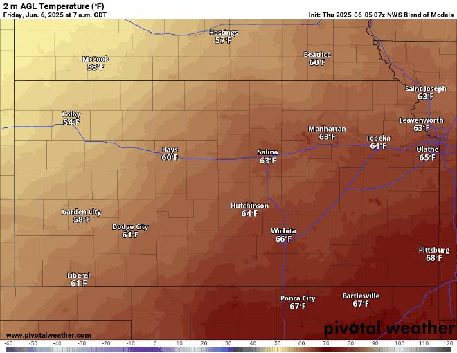
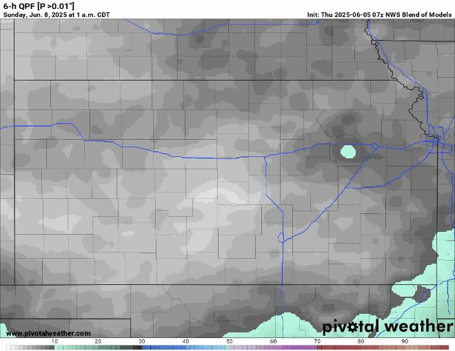
Scattered showers and thunderstorms will continue through the early morning hours of today before clearing out by this afternoon. This pause, and some clearing in our cloud cover, will allow our temperatures to climb into the upper 70s to low 80s by this afternoon, with light and variable winds. By tonight and tomorrow, renewed thunderstorm activity will enter into central/eastern Kansas as another upper-level disturbance passes through. Localized heavy rainfall remains a possibility, but will be less of a threat with this round of showers and storms as drier air aloft tries to filter in. Temperatures overnight tonight will range from the mid to upper 60s before reaching the upper 70s and low 80s for a high tomorrow.
Long-Term (Sunday-Thursday)
Rain chances will continue through Sunday and Monday as a weak cold front passes through and potentially may spur the development of showers and thunderstorms. By Tuesday though, this pattern of periodic showers and thunderstorms will break down and high pressure will move in over us. This will begin to dry us out and cause our temperatures to increase day by day. Temperatures Sunday-Thursday will continue to range from the upper 70s to mid 80s daily from this developing high pressure. At the moment, temperatures aren’t expected to climb much higher than that, so we will be spared from the blistering heat that usually comes with this high-pressure system as we get closer to the summer. Some showers and thunderstorms may be possible at the end of Thursday as hints of a disturbance may impinge on our area and increase rain chances once again.
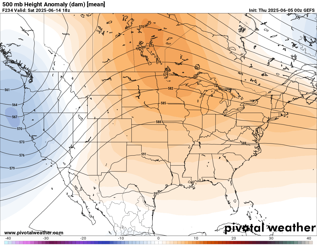
Climate Outlook
By next Thursday, ensemble guidance is hinting at the door being open for some rain chances across the area through Friday before shutting down going into the next week. Past next Friday, high pressure looks to build in over the central US and keep us largely dry and warm. Rain chances may not be completely extinguished during this time, given not too strong of a high-pressure system, but generally drier conditions will still be in play. At this time, drought conditions are not expected to worsen or have new areas develop during this period even with the calmer weather potentially setting in.