General Central/Eastern Kansas Forecast
Short Term (Monday-Tuesday)
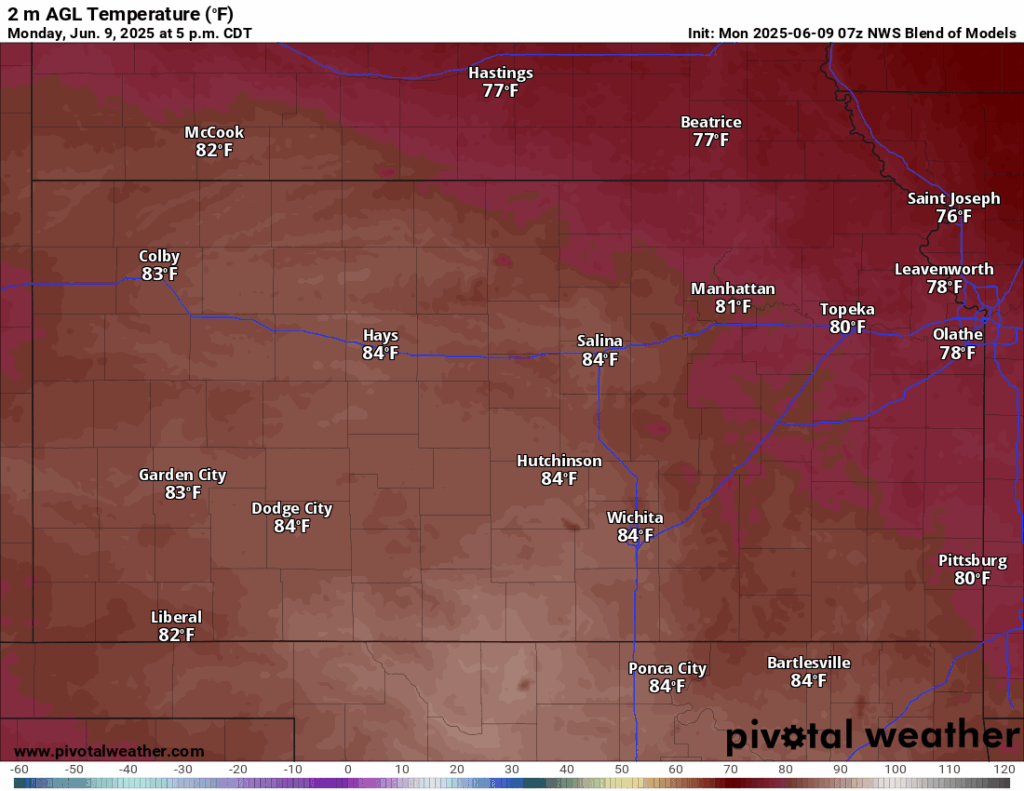
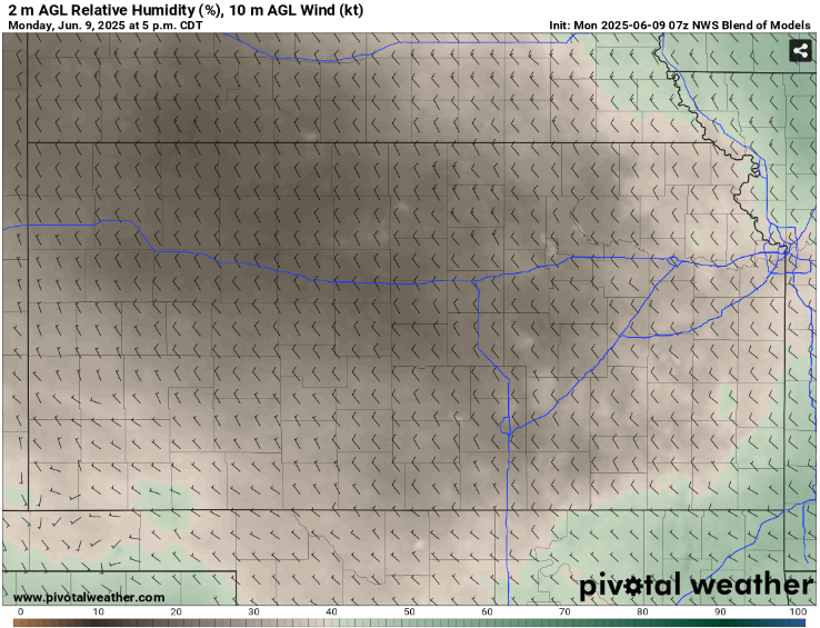
Today and tomorrow will see us receive a bit of a break from the rains we have received over the past few days, as the cold front moves past us and high pressure fills in behind to dry us out. As a result, temperatures will be trying to gradually rise day by day. Daytime highs today across the region will be in the upper 70s to low 80s, with breezier winds out of the northwest at 10 to 15 mph. Dew point temperatures will drop noticeably with drier air moving in, with southeast Kansas staying more in the upper 50s while the rest of central/eastern Kansas drops down to the 40s. Isolated pockets of upper 30s dews may be possible closer towards central Kansas throughout the day. With this dry air, relative humidity values will plummet to between 20-40%. Overnight low temperatures will reach down into the upper 50s to low 60s across the area.
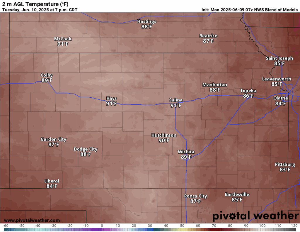

For tomorrow, temperatures will really begin to climb, with high temperatures expected in the mid to upper 80s and winds out of the south and west at around 5 mph. Even with the rising temperatures Tuesday, it will remain largely a dry heat, with dew point temperatures in the upper 40s to low 50s (save for far southeast Kansas where they will climb into the low 60s) and relative humidity values between 25-35%.
Long-Term (Wednesday-Sunday)
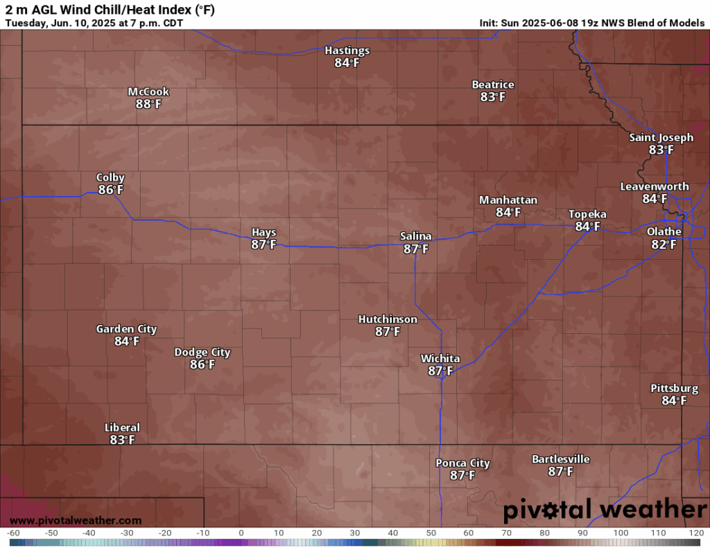
Long-term, the heat does not to be completely overbearing quite yet but being very much June-like. High temperatures every day will reach the mid to upper 80s, and potentially some spots reaching the low 90s. Moisture return will begin as out dew point temperatures will once again surge into the upper 60 to low 70s in the afternoons. This, as a consequence, may bring out some heat index concerns after Wednesday, but as of right now, heat indices are not projected to be much higher than the actual air temperature (being in the upper 80s to low 90s) but trends will be monitored for any greater heat concerns. Winds will be largely southerly at 5 to 15 mph through the days. Some rain chances may be evident, especially in the Thursday-Saturday time period as a low-pressure system moves across northern Oklahoma, but chances at this time will remain low.

Drought Update
Continued areas of drought removal were noted from the last drought update due to the soaking rains received over the last few days. Much of south central and eastern Kansas are now drought free, and more improvement in central Kansas has taken place. North-central and northwest Kansas still need work to do to remove the drought, as moderate to severe drought conditions are still in place there. Due to the upcoming weather pattern we will find ourselves in, continued drought improvement may be minimal to spotty at best depending on any rain chances towards the end of the week.


