It is likely that by the time you read this, Erick will be little more than a remnant low pressure. A far cry from what it was just before landfall Wednesday morning. This storm underwent rapid intensification, and made landfall near Punta Maldonado. It is the first ever hurricane of Category 3 or greater to hit Mexico in June. It is a reminder of, in an era with warmer ocean waters, how unpredictable the intensity of hurricanes can be. The worst of this storm is over thankfully, although if you live in a valley or near a river, flooding may get a bit worse, as gravity pulls down the water that fell as rain in the mountains. Mudslides also remain possible. Moisture associated with this storm will dump excess rainfall on parts of northeastern Mexico.
Oaxaca and Guerrero are in our thoughts during this difficult time.
AN ENCORE TO ERICK?
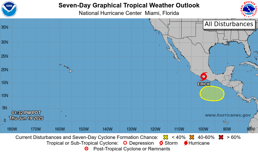
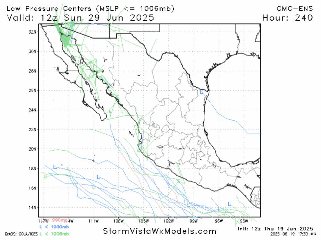
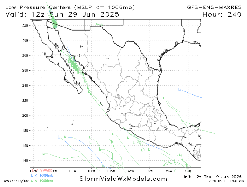
An area of potential development has been highlighted (in yellow hatches) to the south of Erick. Nothing is there yet, but periods of low shear combined with ample moisture and warm ocean waters make it a favorable environment. Ridging is not expected to occur in the area in the next week, which is good from any potential storm’s perspective. Any thunderstorm clusters with converging winds that want to enter this area have a shot at getting together. This area will begin to be most favorable for development in the middle of next week.
Looking at the low pressure plotters, it’s a tale of two models. More ensembles of the European model show the storm forming, but then most subsequently moving out to sea (perhaps with some outer bands moving into southern Mexico). Some stray models to have it impacting the areas that were just impacted by Erick. This would be a worst case scenario, but thankfully it also appears to be the least likely scenario. The American model ensembles are more bearish on a storm forming at all. The NHC is giving the area a 20% chance to develop a tropical system. I’d probably go a bit higher, maybe 30 or 40%, at this stage. Interests and people in southern Mexico should keep their eyes on this area, but an impact doesn’t appear likely right now.
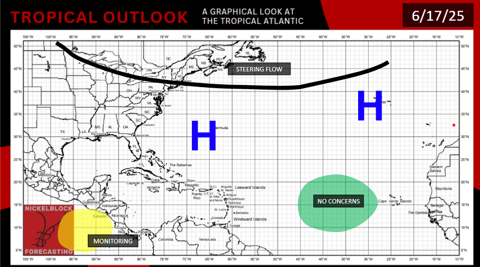
ATLANTIC OFF TO A SLOW START
The Atlantic Ocean is still too cold, and Saharan Dust still too prevalent, to support tropical development at this point. The Gulf of Mexico is already warm enough, but persistent wind shear remains an issue that’s keeping tropical development unlikely. There is a very weak signal for activity in the Gulf in early July, but it’s a remote possibility.
[wpcode id=”41149″]


