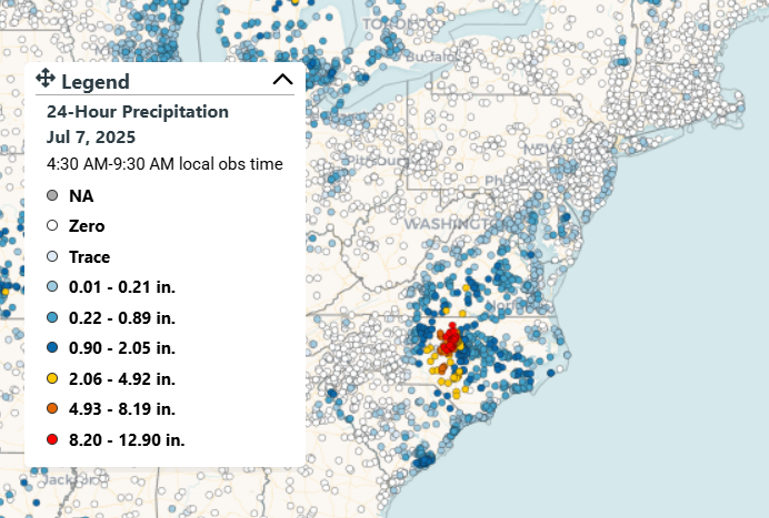
Tropical Storm Chantal has churned up the East Coast. It made landfall in northeastern South Carolina as a tropical storm, before dropping extremely heavy rainfall in the Piedmont region of North Carolina, with some CoCoRaHS rain gauges reporting over a foot of rain. This led to extreme flash flooding in parts of the Raleigh-Durham metro area. Further south, a dam failed in Moore County.
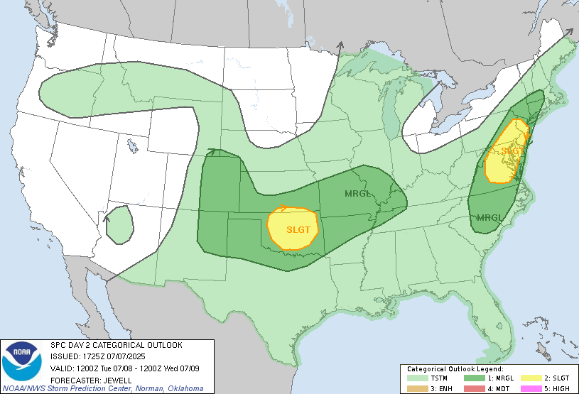
The storm dropped rain (thankfully a good deal less) in the Mid-Atlantic and Northeast. The moisture and vorticity from this storm could help fuel a severe thunderstorm threat today in the Philadelphia and Washington DC metro areas. Damaging winds are the main threat facing the area, although a lot of potential energy is at play. If a discrete cell is able to form, hail may be a factor. Wind shear profiles do not appear to be conducive for tornadic development. The northeast quadrant of Chantal, the side that most often produces tornadoes, will most likely be offshore, so waterspouts are possible. Nonetheless, this part of the country has been battered with severe wind from thunderstorms lately, so any additional impacts could have a compounding effect.
LONG RANGE
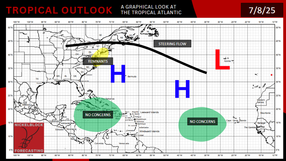
There are currently no areas of immediate interest in the Atlantic Ocean. The modus operandi remains the same, the Gulf of Mexico and the East Coast are areas to keep an eye on, if we can get moisture, low pressure, and limited shear all at once. Two European ensembles do show a system forming in the Gulf this time next weekend, moving west and hitting Florida. The GFS, on the other hand, shows a signal for a storm moving west in the Gulf of Mexico, potentially curving up into Louisiana. Neither of these options are the most likely scenario at this point.
The Caribbean continues to be a very sheared environment, making it less likely that any systems will impact the area. Areas off the coast of Africa are still a bit too cold, and have too much Saharan Dust, to generate storms.
The GFS model is up to it’s old tricks, it’s forecasting not one but two more storms to form in the West Pacific, one as soon as Thursday, the other Sunday or Monday. Given that model’s recent successes in this region, and that the current conditions that are favorable for tropical development don’t seem likely to change anytime soon, I’d lean towards at least one of these storms forming. The good news is that any storm that forms would be well offshore.
[wpcode id=”41149″]


