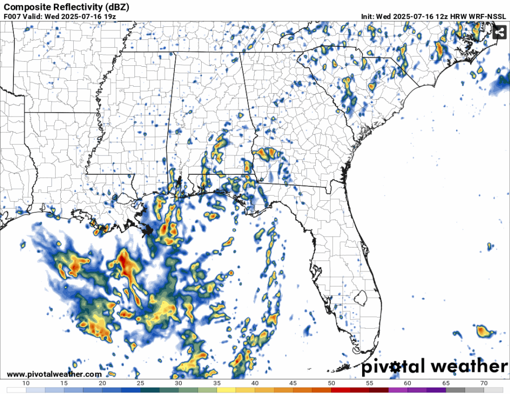
It’s pretty darn hot out there with heat indices in the upper 100s and some low level clouds in the sky. So far, we’ve had a few storms move in from the northwest due to the storm’s rotation, but none have really stuck around too long. The National Hurricane Center and satellite analysis place the center of the Tropical Invest towards the western panhandle of Florida and it will move further west as the weekend progresses.
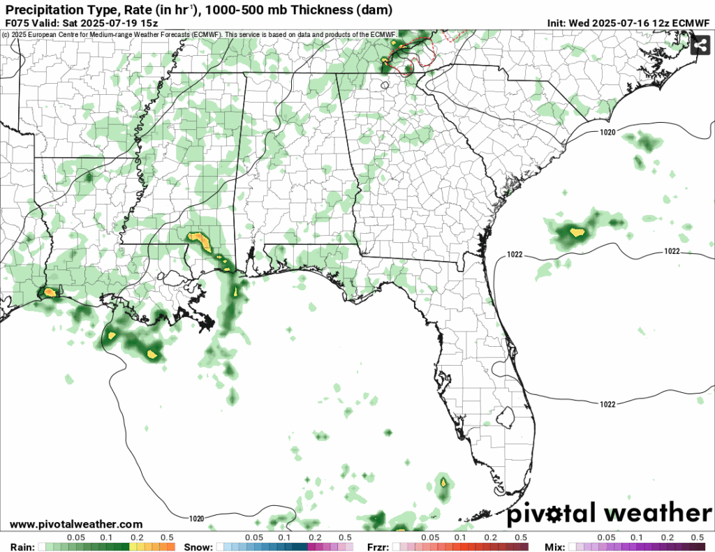
Nick has already expounded upon the location and intensity of the storm, but so far the center of the storm is hovering around the Gulf coast and spaghetti models are calling for the invest to just barely be under Tropical Storm status. If this thing hugs the coast, it’ll just be a bunch of rain. If it moves further south it may gain some extra strength before it hits land. Rainfall totals vary from the Euro and GFS models, however the general consensus is that most of the rain will hug the Alabama, Mississippi, and Louisiana coastline with areas receiving over 4 inches by the time the weekend is over. I suspect some areas will likely see more though.
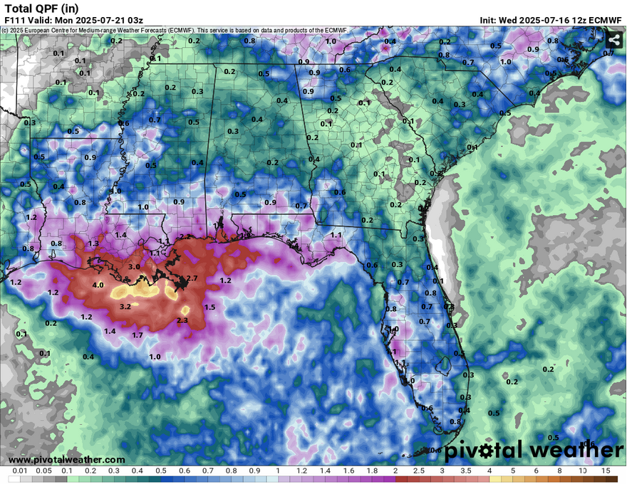
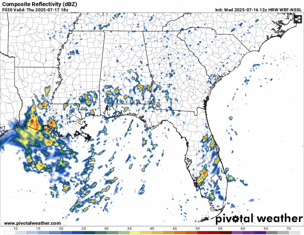
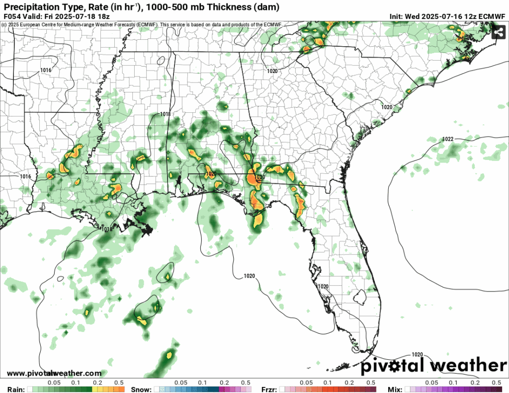
For those of us further inland, we’ll likely see some storms move in as the center of the low moves further west allowing more southerly wind and Gulf moisture to bring them in. Rain chances will be more likely in the afternoon Thursday and Friday, however Saturday may see some mid-morning rain as the tropical invest is forecast to move inland. For those with weekend plans, stay tuned on model guidance to adjust to see how this shakes up.
Another main thing to be concerned with for the rest of the week is the heat. We’ll have some relief in the afternoons from the hot temperatures, sure, but the buildup to the storms means that we’ll still feel it until it arrives. Temperatures are going to be in the low to mid 90s across the area and that means the experienced temperature is going to be at or above 100, so stay cool until the rain arrives! Lows will match the dewpoint which means it’ll be in the mid 70s.
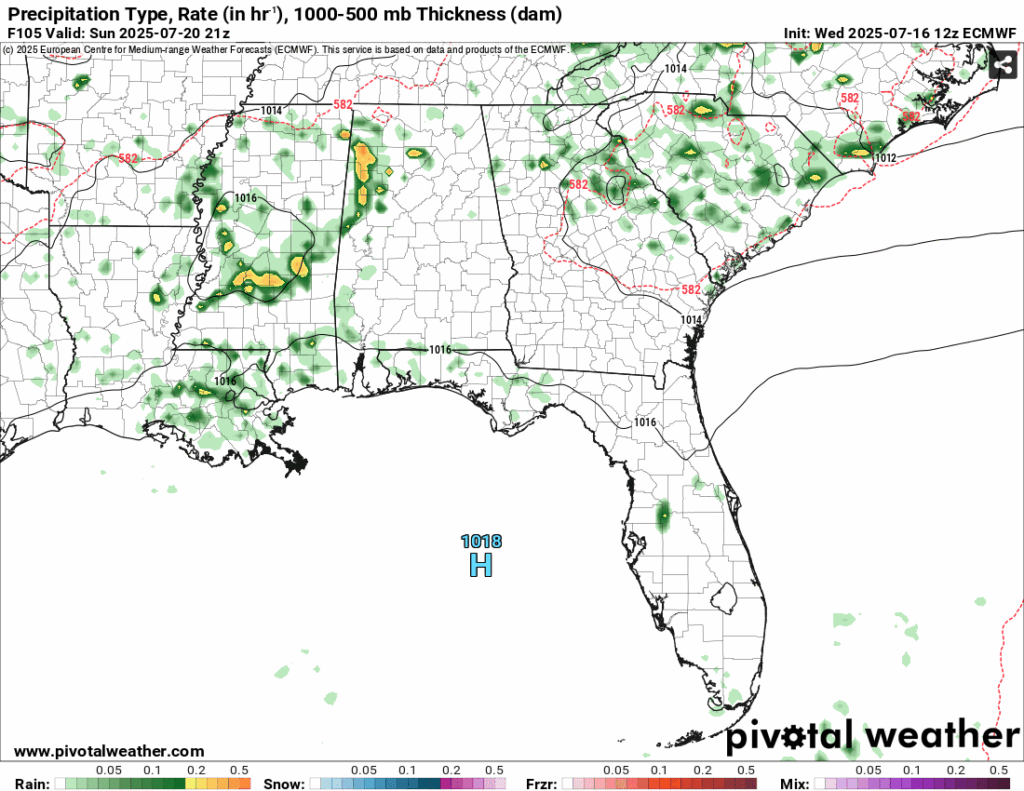
By Sunday we’ll likely see some of the leftovers of the invest which means some more scattered thunderstorms across the Deep South. It’ll be much warmer than the past few days after this has passed and the high moves in behind it, so again, stay cool out there!
[wpcode id=”41179″]


