So if you’ve been looking on the news recently, many people in the northern parts of Mississippi and Alabama have been all over the cold front and sub 90s temperatures. Is it going to affect us as much? Eh, kinda. Is this a foray into fall? Nah, probably not. The good news is, though, it will bring the heat index down a bit so we’re not completely miserable like last week.
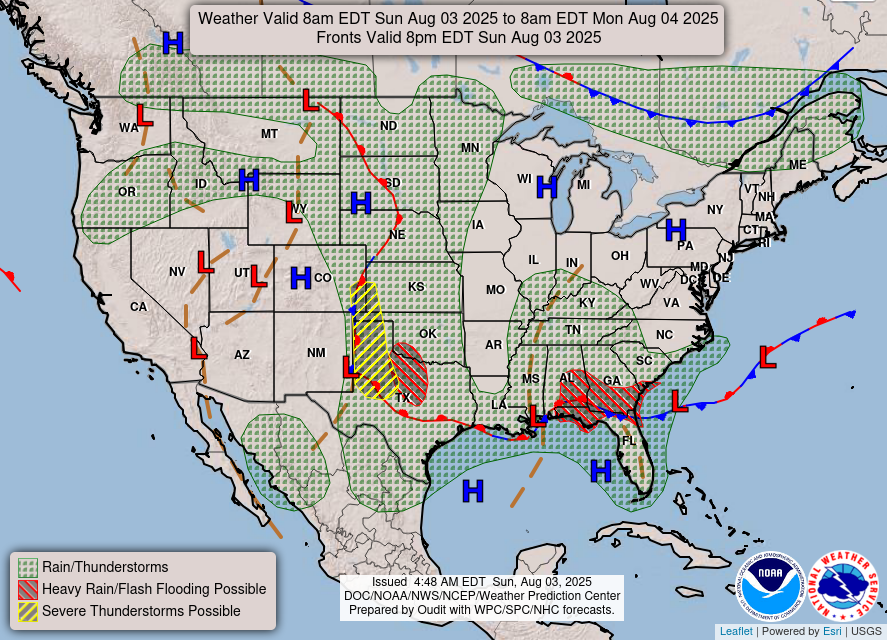
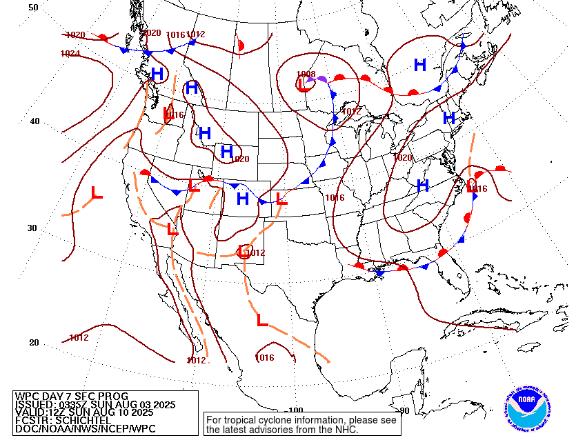
Starting off the week, we’re stuck between a stationary front and a frontal boundary. That might sound like the same thing, but the stationary front will keep flowing in more dry air and the boundary will keep the rain further east towards Alabama and Georgia. This will keep on for the next day or so as rain chances stay east until Tuesday. Overall, expect some drier conditions with a slight northerly wind and temperatures in the low 90s and heat indices in the mid to upper 90s.
Tuesday and Wednesday will increase our rain chances a bit as the frontal boundary dissolves and allows more sea breeze thunderstorms to move in from the coastline. This will be the continuing trend for the rest of the week with highs in the low 90s and heat indices reaching the mid 90s to around 100 especially further west towards the Mississippi River Delta. By Thursday, a surface high will move in on the west side of the Gulf and increase the heat risk further west.
Friday through the weekend will be hot but not especially humid as the stationary front begins to dissolve. The heat index will stay around the upper 90s to 100, but overall it’ll be a much less miserable weekend. Rain and thunderstorm chances stay the same as the latter part of the week with mostly pop-up and sea breeze thunderstorms to contend with. As the week after moves in, we’ll see a slightly warmer trend that looks to move heat indices into the low 100s and stay fairly steady. This is due to a building high pressure zone from the northeast Atlantic creeping into the mid-Atlantic states, and eventually the Deep South.
Regional Day-to-Day Forecast
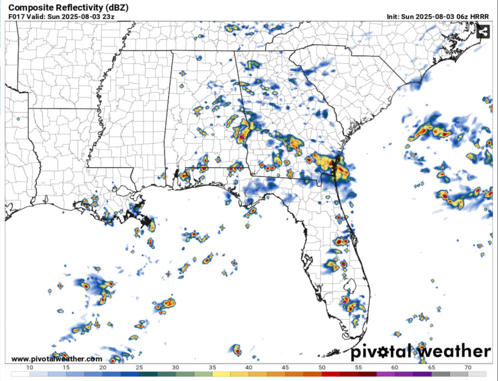
Today – A 30 percent chance of showers and thunderstorms, mainly in the afternoon. Mostly sunny, with a high in the low 90s. North wind around 5 mph.
Tonight – A 20 percent chance of showers and thunderstorms before sunset. Increasing clouds, with a low in the low 70s. North wind around 5 mph becoming calm.
Monday – A 40 percent chance of showers and thunderstorms in the afternoon. Partly sunny, with a high near 90. Calm wind becoming northeast around 5 mph in the afternoon. New rainfall amounts of less than a tenth of an inch, except higher amounts possible in thunderstorms.
Monday Night – A chance of showers and thunderstorms. Partly cloudy, with a low in the low 70s. East wind around 5 mph becoming calm in the evening. Chance of precipitation is 30%.
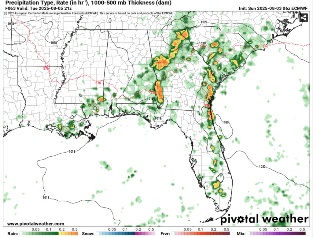
Tuesday – A chance of showers, then showers and thunderstorms likely in the late morning to early afternoon. Mostly sunny, with a high in the low 90s. Calm wind becoming east around 5 mph in the afternoon. Chance of precipitation is 70%. New rainfall amounts between a tenth and quarter of an inch, except higher amounts possible in thunderstorms.
Tuesday Night – A chance of showers and thunderstorms. Partly cloudy, with a low in the low 70s. Calm wind. Chance of precipitation is 30%.
Wednesday – Showers and thunderstorms likely, mainly in the afternoon. Mostly sunny, with a high in the low to mid 90s. Calm wind. Chance of precipitation is 60%.
Wednesday Night – A 20 percent chance of showers and thunderstorms before midnight. Mostly clear, with a low in the low 70s. Calm wind.
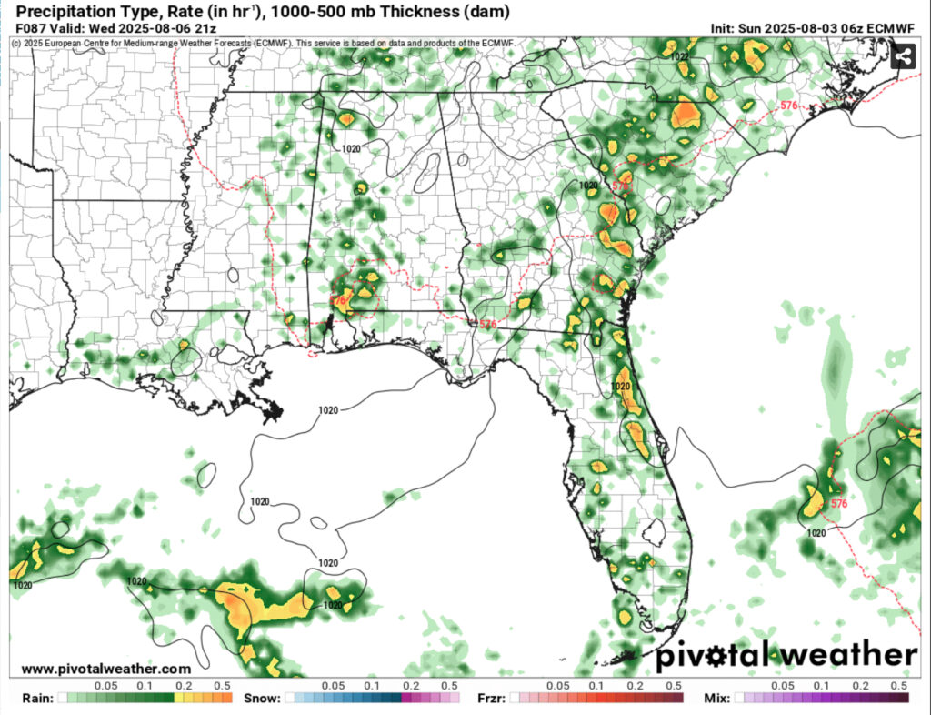
Thursday – A 50 percent chance of showers and thunderstorms in the afternoon. Sunny, with a high in the low to mid 90s. Calm wind becoming north northeast around 5 mph.
Thursday Night – Mostly clear, with a low in the low 70s.
Friday – A 40 percent chance of showers and thunderstorms. Sunny, with a high in the low to mid 90s.
Friday Night – Mostly clear, with a low in the low 70s.
Saturday – A 40 percent chance of showers and thunderstorms. Sunny, with a high in the low 90s.


