Welcome back! The National Hurricane Center has recognized a new area of interest in the Atlantic, another tropical wave off the coast of Africa. The previous disturbance off of the East Coast now has practically no chance of development, and is off the radar. Tropical Storm Henriette is now post-tropical after encountering some harsh conditions in the Pacific, but TS Ivo is still going strong. Let’s take a closer look:
Today’s Atlantic Setup:

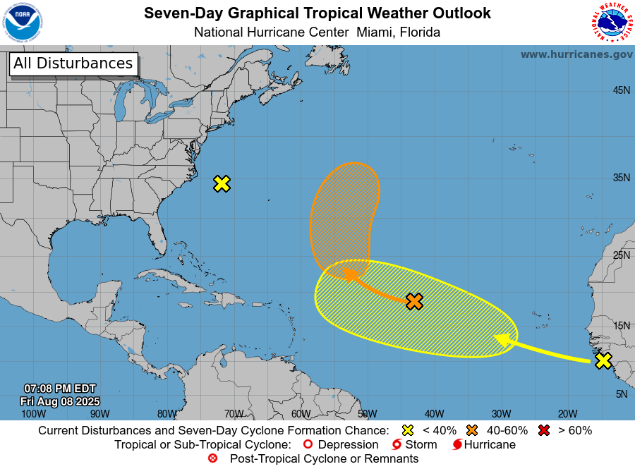
Here you can see where all of the disturbances are and where they are forecasted to go. There are no areas of concern in the Gulf or close to the Southeast Coast as of right now.
Atlantic Disturbance – Invest 96L
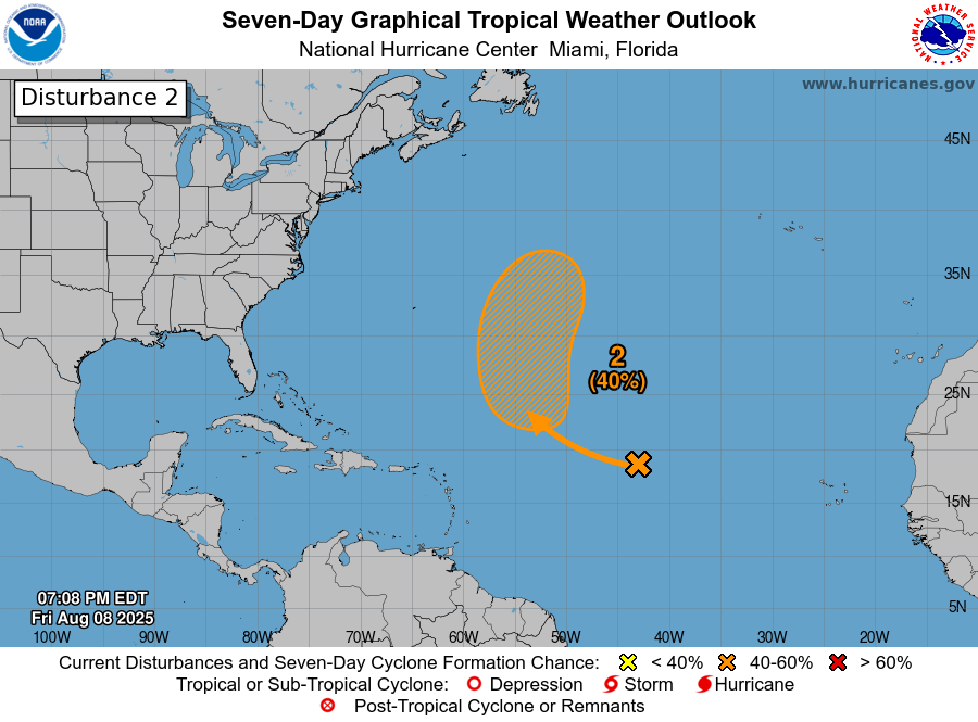
This disturbance, now recognized as Invest 96L, is still making its way north-northwestward across the Atlantic, but now has a 40% chance of development into a tropical cyclone in the next week, and close to no chance of development in the next 48 hours.
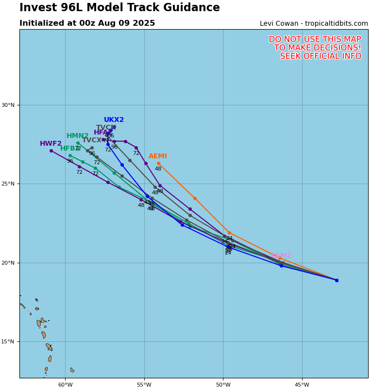
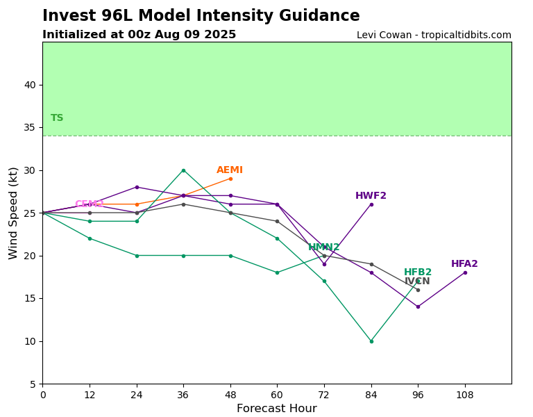
Fortunately, 96L is still not expected to make landfall anywhere with the Bermuda High steering the system clockwise away from land. As for how the disturbance might develop, it is currently cruising through some dry air, which will definitely inhibit any potential growth. In a couple of days, though, the system should encounter some more moist air again, so some redevelopment is possible.
The New Atlantic Disturbance
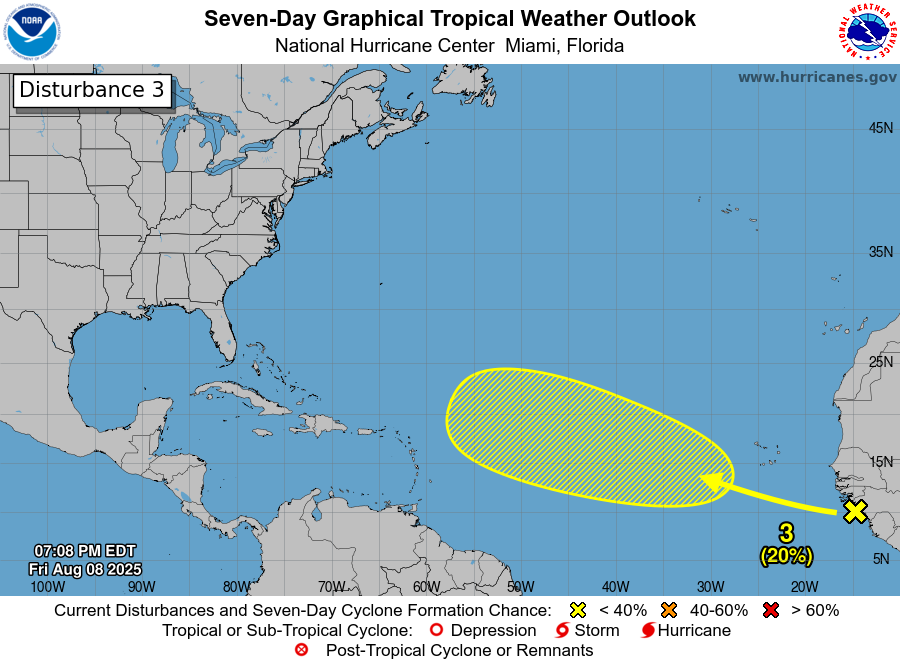
This new disturbance is forming from a tropical African wave, which consists of a bunch of messy, disorganized showers and thunderstorms. Because this system is in the very early stages of development and is just making its way off of the coast of Senegal at about 15 mph, it only has a 20% chance of development in the next 7 days. We will have to wait and see how this disturbance develops over the next week.
Current Pacific Setup:
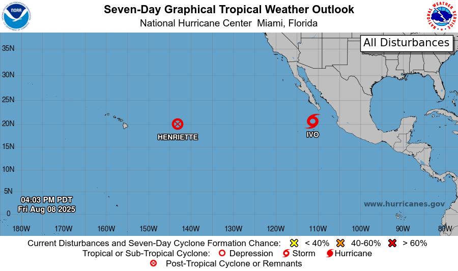
Now moving on to the Pacific, we can see that Henriette is now a post-tropical cyclone, and Tropical Storm Ivo is still on the move through the Atlantic:
Tropical Storm Ivo
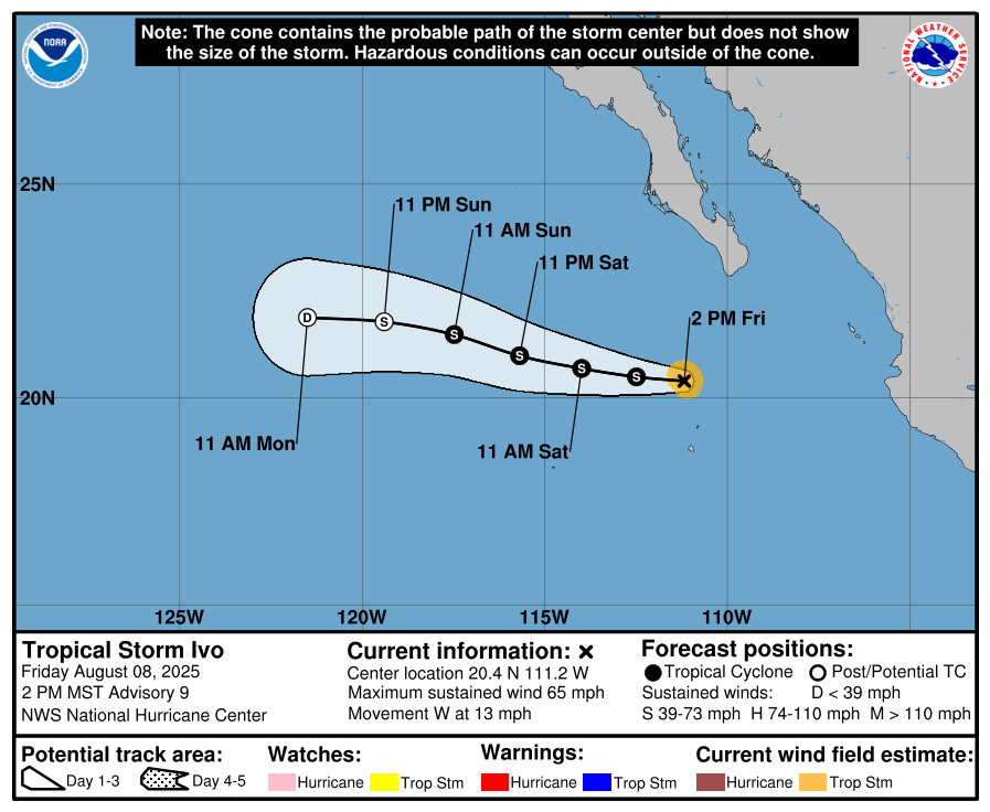
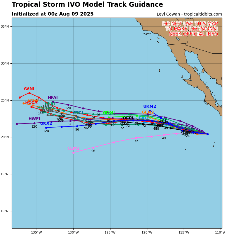
Ivo has moved a bit more south than expected, and narrowly missed direct landfall on México yesterday, so the risk for landfall and also effects on land are now done as the system moves westward at about 13 mph deeper into the Pacific.
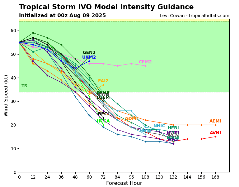
Ivo is also looking like it is completely done intensify, and shortly will begin to weaken. By late tomorrow or Monday, Ivo will probably become “post-tropical”
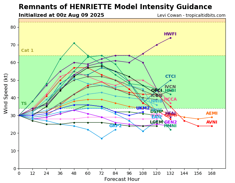
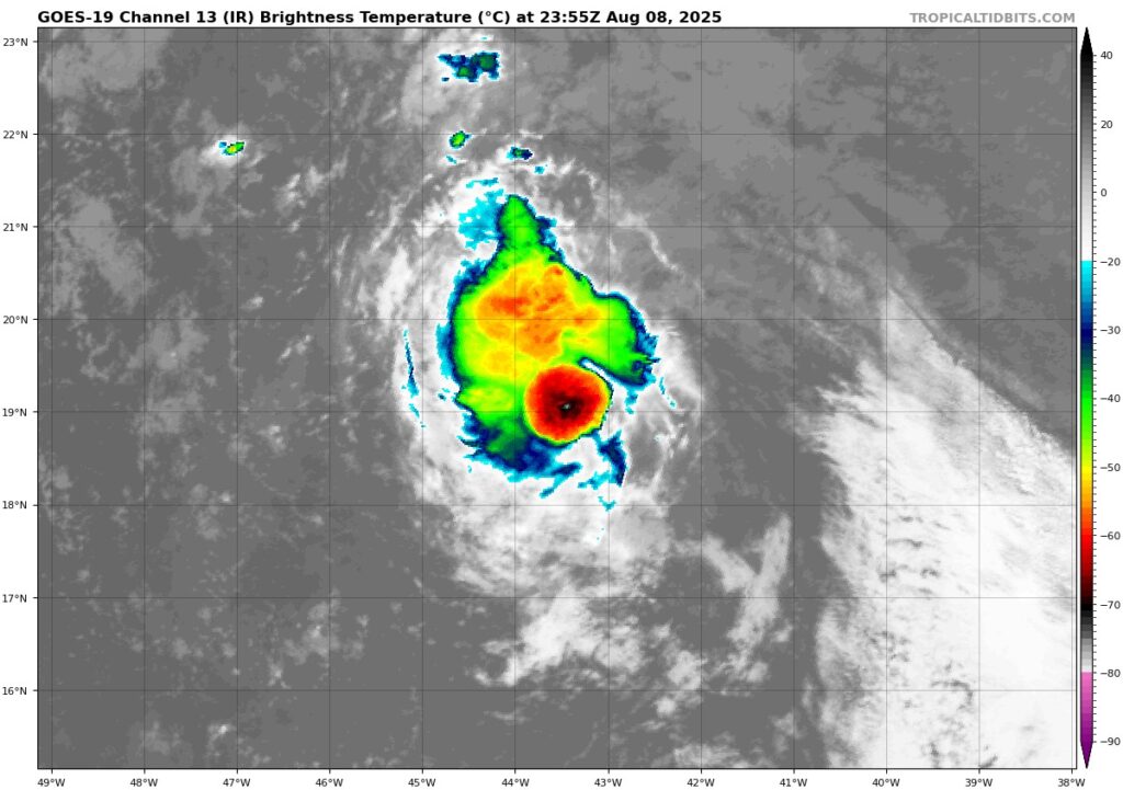
Post-Tropical Henriette
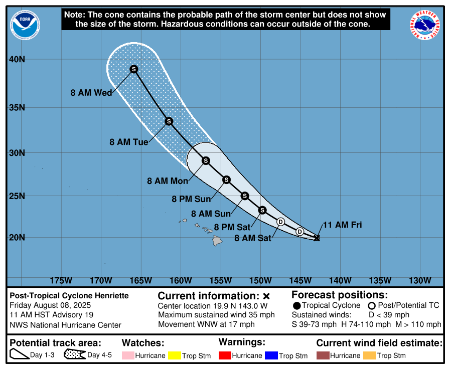
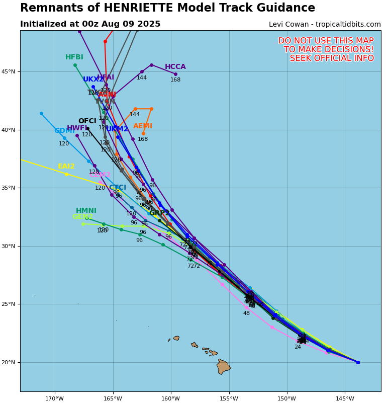
Post-tropical Henriette is still making its way through some colder waters, so it has weakened to a post-tropical status for now. It is forecasted that Henriette will b able to make it through this chilly and dry environment to more conductive conditions in the next day or so, reaching back up to tropical storm status. It will stay like this for a day or two, and then finally start to die back down and eventually dissipate. Luckily, it avoided landfall on Hawaii, and the islands were not affected by Henriette.