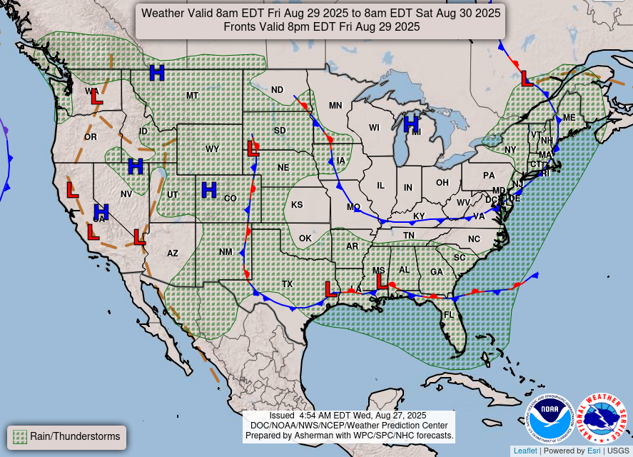
The end to this Summer has been a nice change from the past couple of years where we were still stuck in a heat dome and 100+ degree temperatures every day. We’re entering a more Fall-like pattern with more mid-latitude cyclonic systems nearing and less of the afternoon thunderstorms. I might sound like a broken record, but we’re inching closer to Fall every day.
//Courtesy: Pivotal Weather
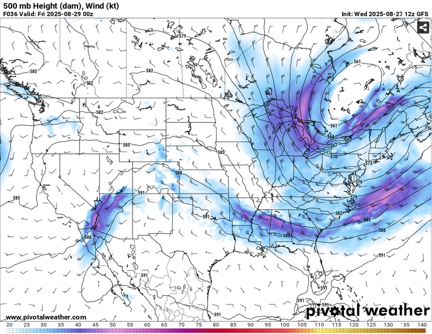
The trough (pictured above) will have a lasting effect on the driving force of the incoming storm system. Northwesterly winds above will help guide the storms deeper into the South until the upper low moves east and the front moves to the Gulf. Areas between the Delta and Oklahoma will see the most rain, however, we may get up to an inch of rain by the end of the weekend.

We’ll see a slightly warmer day tomorrow with highs in the low 90s across much of the coastal South. A few isolated thunderstorms are possible starting in the early afternoon before more storms develop in the evening. The main line will organize into the overnight hours and our rumbles of thunder and heavy rain will loom over us by the early morning hours and hang around during the morning commute. As the MCS begins to converge, we’ll get another round in the early to mid afternoon before it moves closer to the coast by the evening. Overall, expect a couple of muggy and rainy days.
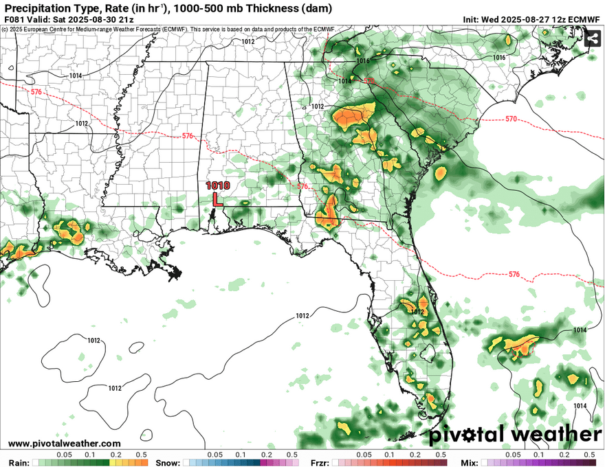
Lingering rain and thunderstorms will move in overnight and into the morning hours on Saturday. The low will begin to stall and, funny enough, begin to rotate as it propagates into the Gulf. We’ll see fairly pleasant temperatures only reaching the mid 80s during the day and fall into the upper 60s at night. Sunday’s rain chances are fairly slim, but not zero. Expect a few in the afternoon, but also expect some more northerly winds. Highs in the mid 80s and lows in the upper 60s.


