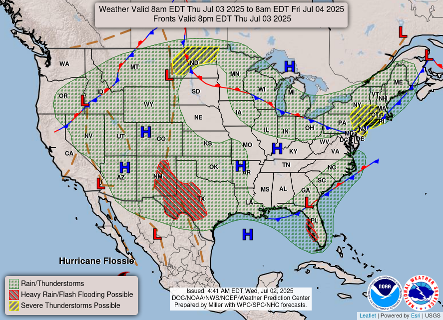
There’s been very little thunderstorm development across south Mississippi today as the front has officially moved past us. Afterwards, it’s not one, not two, but three high pressure systems at work over the eastern US! One in the Gulf, one in Arkansas, and one in the Ohio River Valley. This means it’ll be quite dry for the next couple of days, including July 4th.
The good news is that even though there’s no rain, the heat indices will fall closer to the high temperature. However, the highs will be in the mid 90s, so it’ll still be a dry heat. Overnight lows will be slightly more tolerable falling into the upper 60s to around 70. July 4th will be a great day to be out for fireworks and grilling, but be sure to have plenty of hydrating drinks and sunscreen on you when you go outside.
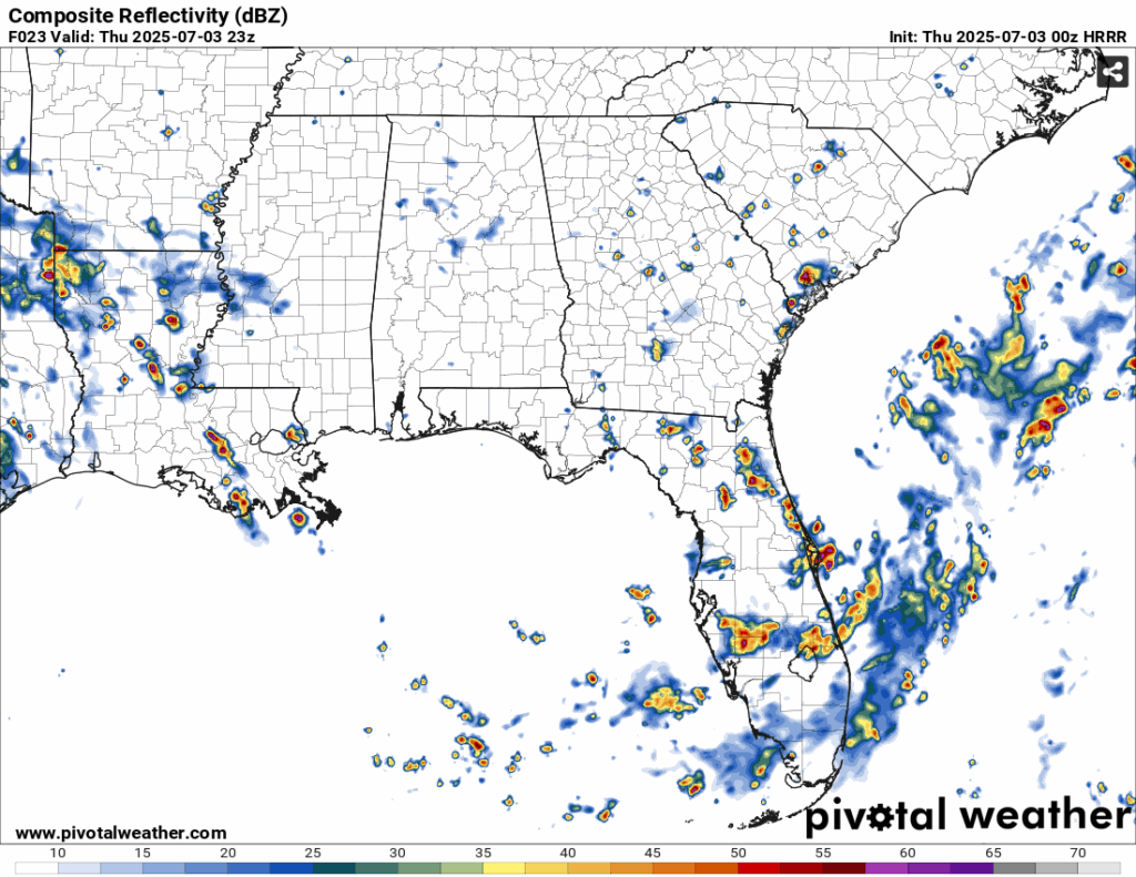
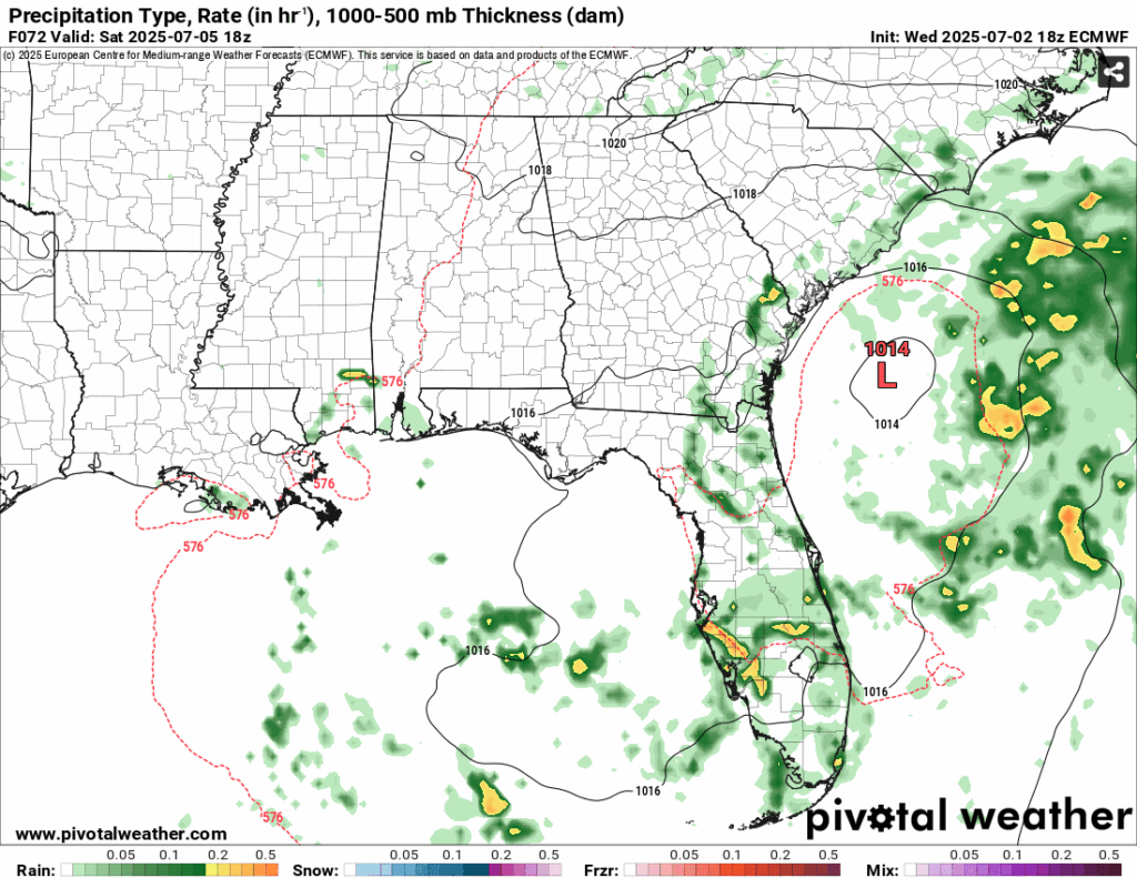
Most of the storms will stay west towards southwestern Mississippi and Louisiana due to the high pressure system in the Gulf. This will block much of the storm development from the coastline until Saturday. Some isolated thunderstorms can develop from the sea breeze on Saturday and Sunday. Along with the possible storms, the heat index will also rise towards 100 again bringing the humidity back into play.
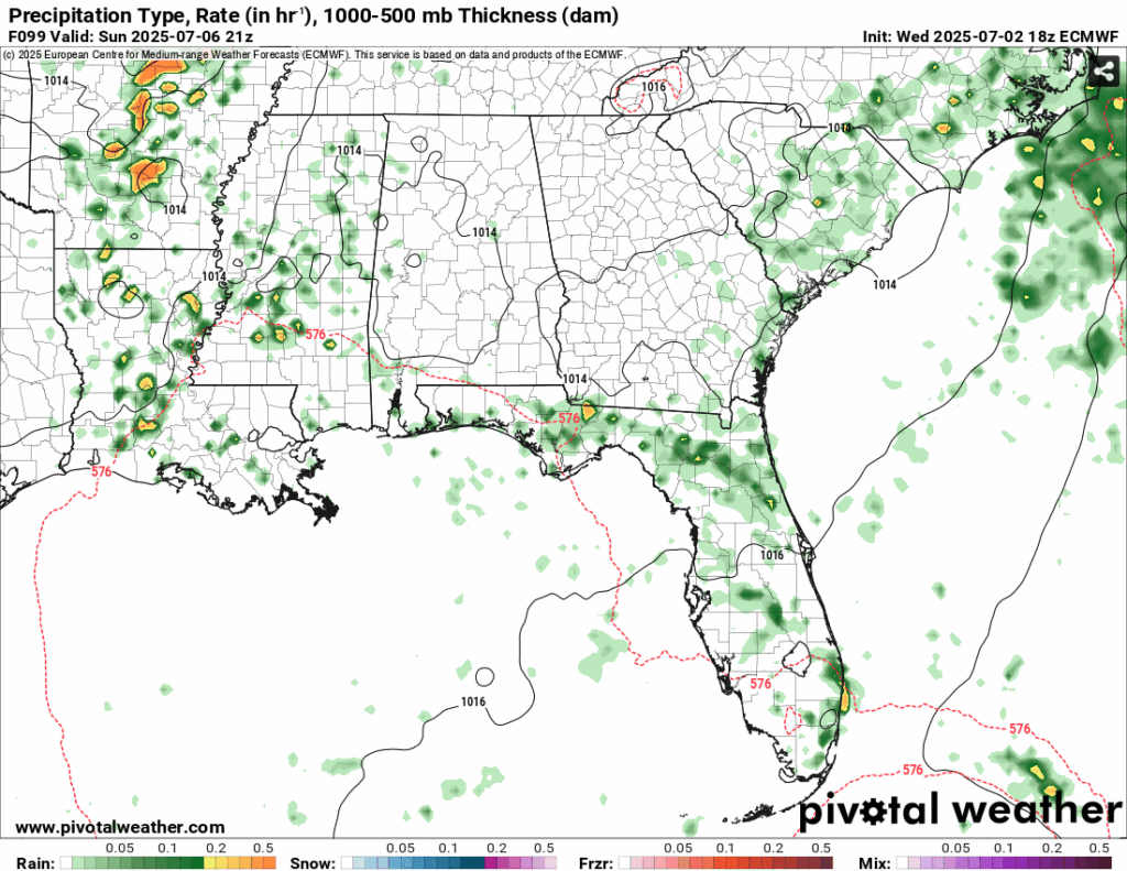
Overall, we’ll have some brief isolated storms possible this weekend, otherwise it’s just going to be hot and humid. Hope you all have a Happy 4th!
Select Data Set:


