It’s cooled down quite a bit after the humid and stormy weekend we had! This looks to stay that way for the next several days as we enter into a seasonably average pattern for this time of year. Let’s take a look.

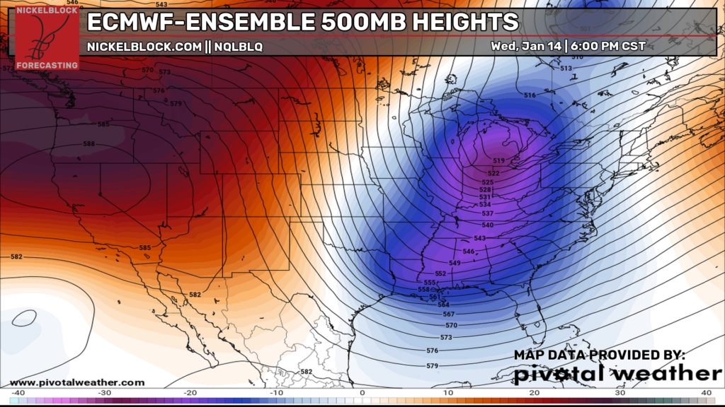
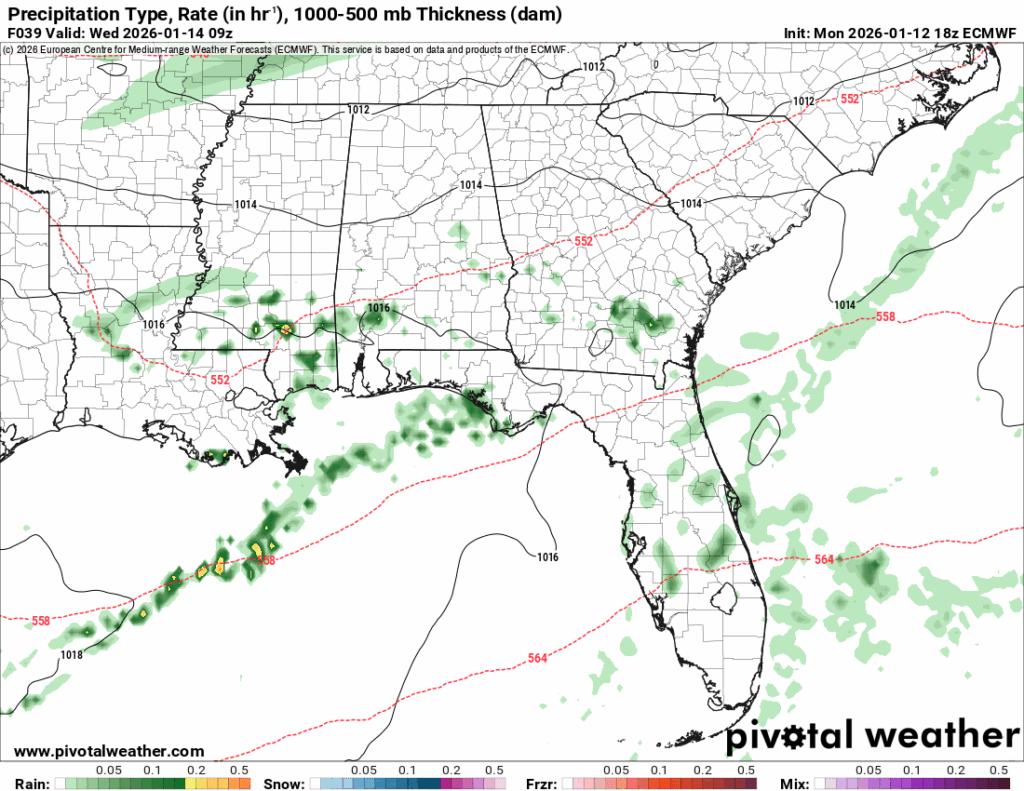
The Euro model above shows a large height fall/trough pattern developing over the middle of the week which will contribute to the cooler temperatures we are going to experience. At the surface, a low at the northern end of the Great Lakes will contribute to a slight chance of rain by mid-week. Afterwards, a growing high pressure system will build back in the Gulf to keep us dry.
Tomorrow
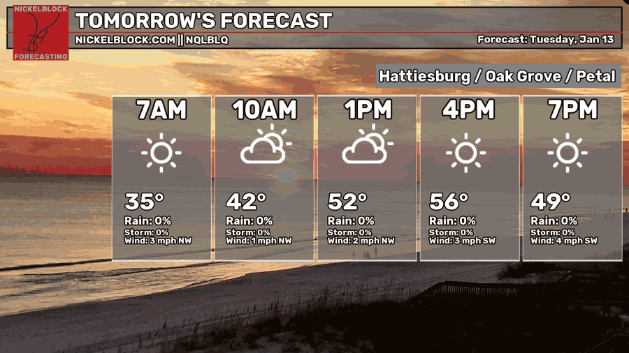
Expect temperatures to fall around the freezing mark tonight. We’ll have a few clouds across the Pine Belt as the day progresses with temperatures in the mid-50s. Overnight, the low will fall into the mid 40s.
Wednesday
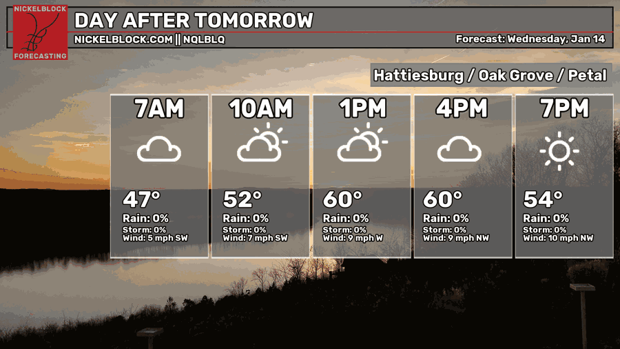
By Wednesday, true winds will blow a bit harder from the southwest with a small chance for rain. Temperatures will top out around 60. More clouds will be prevalent throughout the day and the low will bottom out to the mid 30s as the cold front passes through again.
Afterwards, we’ll have another cooler couple of days with a high in the low 50s on Thursday and back around the freezing mark Friday morning. By Friday afternoon, it’ll be a great looking day with a high in the low 60s and a low in the upper 30s.


