We’re still rolling through a warm and humid week and the winds are picking up a bit as a shortwave trough approaches tomorrow. Highs will be in the upper 80s with mixed clouds and sun today. Tonight, we’ll dip into the mid 60s with clouds increasing.
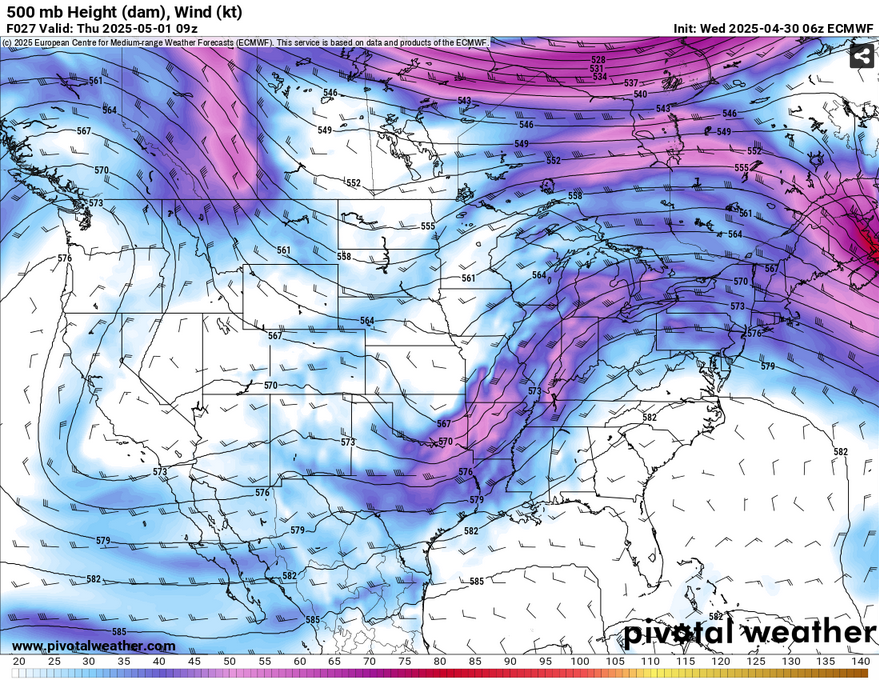
For our first shortwave tomorrow, expect a possible round of storms in the morning, however we’ll get our main line of storms in the early afternoon to late evening hours. Some storms will move in from the south during the early afternoon, however it won’t be until the evening that the first shortwave trough moves in a line of storms from the northwest. While it will begin to dissipate by the time it moves past the I-20/I-55 corridor, we’ll still see a chance for rain and thunderstorms. Highs will be in the mid 80s and lows in the mid 60s.
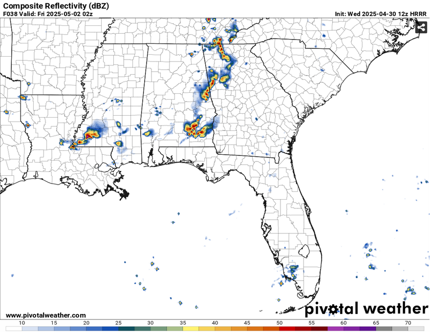
Friday’s rain chances take place a little later in the afternoon as the main line develops to our northwest. This time, it won’t fizzle out as easily as the main cold front has more pushing power behind it. While the front is expected to slow as it moves towards Newfoundland, we’ll get most of our rain during the afternoon hours and it will remain into the overnight hours. Showers and thunderstorms are probable with up to half an inch of rain possible. Highs will be in the mid 80s and lows in the mid 60s with winds out of the south southwest.
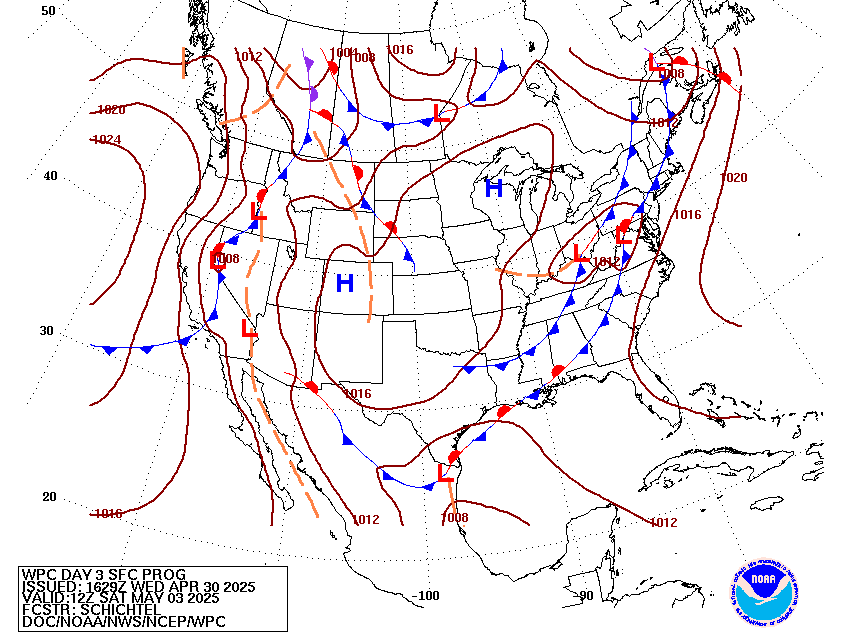

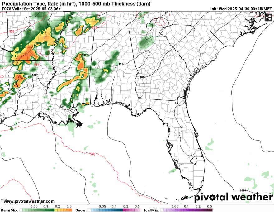
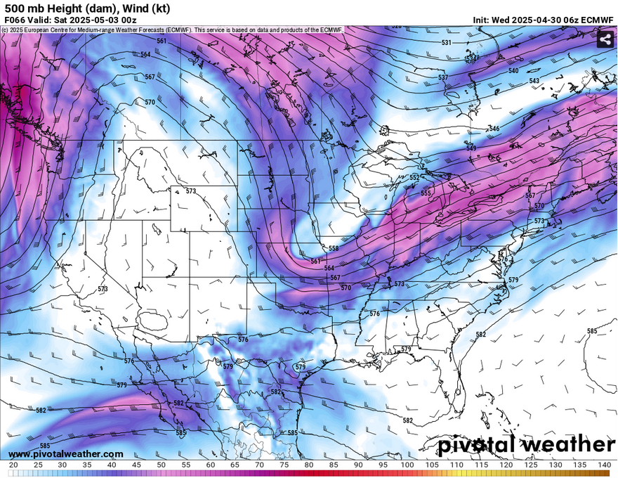
Saturday is more of a doozie until we get some short range modeling in the picture. The GFS and UKMET models suggest that the rain chances will die down by the afternoon while the ECMWF model is sticking to its guns. This may be an issue of overall timing of the main cold front’s passage, but we’ll see if there’s more model agreement in the next day or so. For now, I’ll stick with a chance of rain until the afternoon until then. Highs in the low 80s and a low in the upper 50s to around 60.
Afterwards, it’ll be a nice way to start off the first week of May! We’ll have some cooler and drier weather with the high pressure over us for the next few days. Highs will be in the low to mid 80s from Monday to Wednesday with lows in the mid 50s.
Select Data Set:

Regional Day-to-Day Forecast
This Afternoon – A mix of clouds and sun with a high in the upper 80s. South wind around 10 mph, with gusts as high as 20 mph.
Tonight – Mostly cloudy, with a low in the mid 60s. South wind 5 to 10 mph, with gusts as high as 20 mph.
Thursday – Showers likely and possibly a thunderstorm mainly in the afternoon. Patchy fog before 8am. Otherwise, partly sunny, with a high in the mid 80s. South wind 5 to 10 mph, with gusts as high as 20 mph. Chance of precipitation is 70%. New rainfall amounts between a tenth and quarter of an inch, except higher amounts possible in thunderstorms.
Thursday Night – Showers likely, mainly before midnight. Mostly cloudy, with a low around 65. South southwest wind around 5 mph becoming calm in the evening. Chance of precipitation is 60%. New precipitation amounts of less than a tenth of an inch possible.
Friday – Scattered showers and thunderstorms in the afternoon. Partly sunny, with a high in the mid 80s. Calm wind becoming south southwest around 5 mph in the afternoon. Chance of precipitation is 40%.
Friday Night – Showers and possibly a thunderstorm. Low in the mid 60s. South southwest wind around 5 mph becoming calm. Chance of precipitation is 80%. New precipitation amounts between a quarter and half of an inch possible.
Saturday – Scattered showers and thunderstorms possible until the afternoon. Mostly cloudy, with a high in the low 80s. Calm wind becoming north around 5 mph in the afternoon. Chance of precipitation is 70%.
Saturday Night – Partly cloudy, with a low in the upper 50s. North wind around 5 mph becoming calm.
Sunday – Sunny, with a high in the low 80s. North northeast wind around 5 mph.
Sunday Night – Mostly clear, with a low in the mid 50s.
Monday – Sunny, with a high in the low 80s.
Monday Night – Mostly clear, with a low in the mid 50s.
Tuesday – Sunny, with a high in the low 80s.


