Well, here we are, one more (hopefully) big heat wave before Summer (hopefully, but I doubt it) makes its exit stage left. We’re currently stuck under a subtropical high that hangs around a little too long. The good news is, there may be a break soon! The upper levels are starting to change a bit as a trough moves in and breaks down the almost nationwide ridge that’s over us. Let’s take a look.
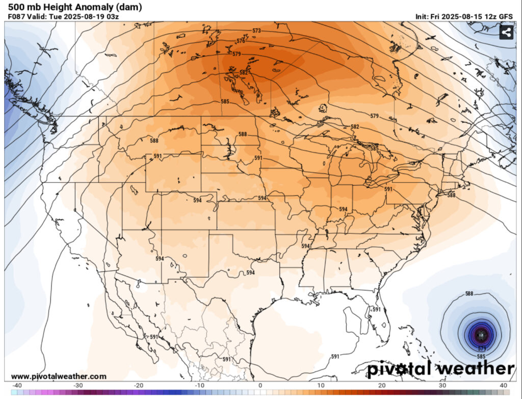
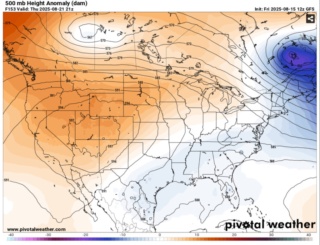
Looking at the upper levels, there is a large upper level ridge that expands across much of the central US. As the week progresses, Hurricane Erin will move up the North Atlantic and will eventually become an extratropical system. The ridge begins to retreat towards the western US and a trough will move in as the ridge builds, bringing some more northerly influence from above.
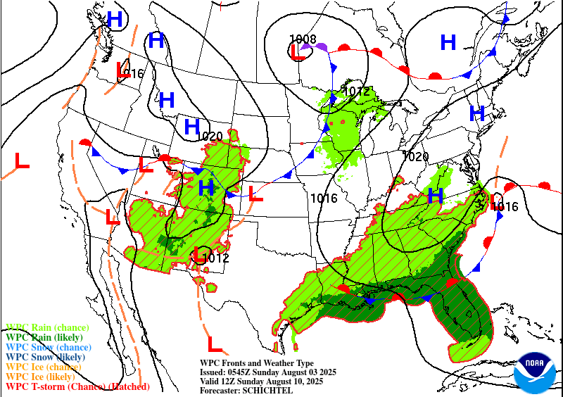
At the lower levels, a subtropical high is giving us the blues with all the sweltering heat we can stand. It’s slowly, and I mean s l o w l y, moving westward and will cause highs to reach the upper 90s and heat indices in the mid 100s during the week. Towards northern Canada, a surface ridge will move a slow moving front towards the Southeast and with it, some rain chances and possible more bearable conditions!

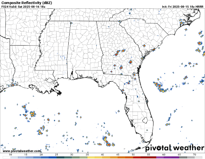
The weekend and the first half of the week are going to be our sweltering hot afternoons with isolated and scattered thunderstorms to follow. Saturday’s storms look to hit around the mid afternoon and rain themselves out by sunset. Sunday looks a bit earlier in the afternoon. Highs in the mid to upper 90s and lows in the mid 70s.
Expect more heat advisories to be issued as the week progresses. Please be careful if you’re outdoors.
Monday through Wednesday will be afternoon thunderstorms across much of the states and remain in the mid to upper 90s. As we go into Thursday, a front will move into the mid-South providing some low level moisture to feed some incoming MCS storms. These will head south and may rain themselves out by the time they reach the I-20 corridor. As the front moves further south, however, we may likely see more rain during the day on Friday and into Saturday. The models are still a little spotty, but they’re in agreement that there will be more rain across the coastline and further inland.
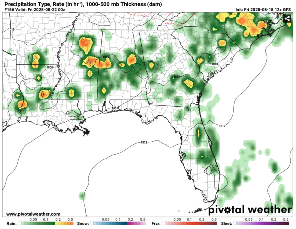
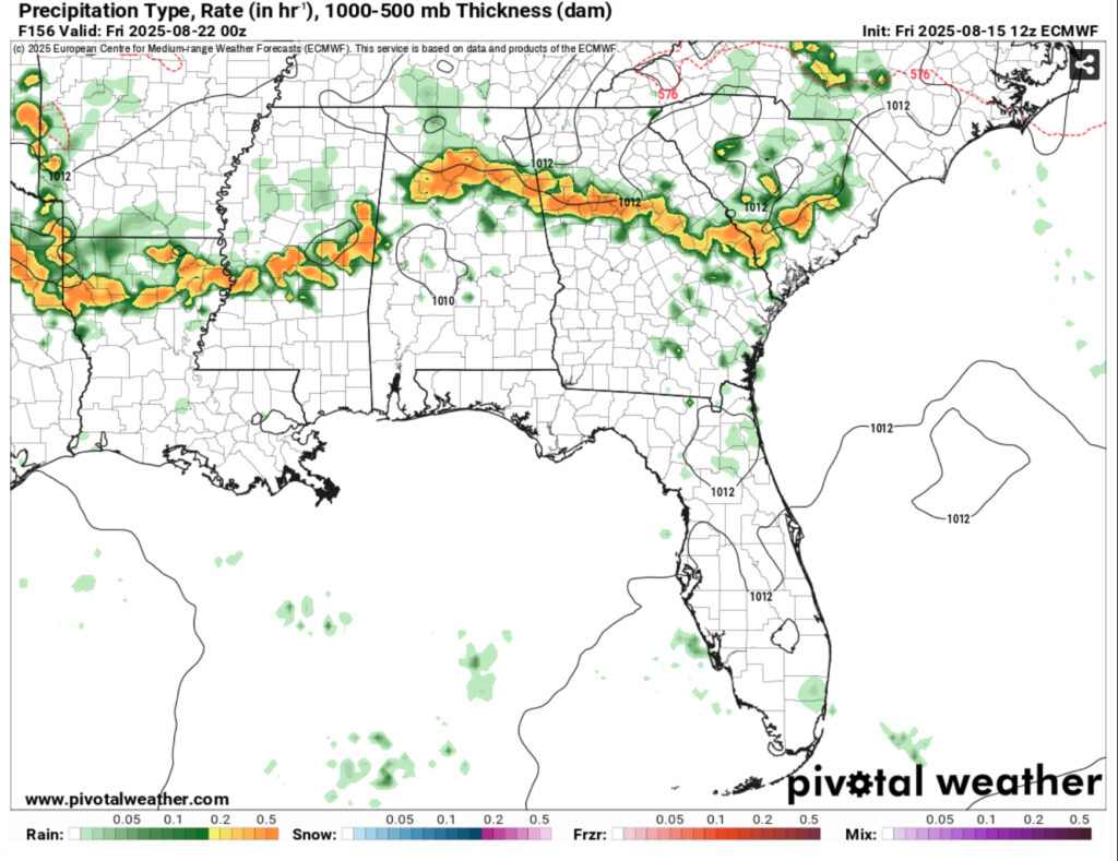
This does knock down the heat index a bit, but we’ll still feel the humidity if the dewpoints don’t drop along with the front. We’ll likely see some cloudier days with the rain chances keeping the heat dome away temporarily.
Regional Day-to-Day Forecast
Tonight – A 40 percent chance of showers and thunderstorms, mainly before sunset. Patchy fog after 3am. Otherwise, partly cloudy, with a low in the mid 70s. West southwest wind around 5 mph becoming calm. Winds could gust as high as 20 mph.
Saturday – A 40 percent chance of showers and thunderstorms, mainly in the afternoon. Patchy fog before 9am. Otherwise, sunny, with a high in the mid 90s. Heat index values as high as 105. Calm wind becoming north northwest around 5 mph.
Saturday Night – Partly cloudy, with a low in the mid 70s. Calm wind.
Sunday – A 40 percent chance of showers and thunderstorms in the early afternoon. Sunny, with a high in the mid 90s. Heat index values as high as 103. Calm wind becoming northeast around 5 mph in the afternoon.
Sunday Night – Mostly clear, with a low in the mid 70s. Calm wind.
Monday – A 30 percent chance of showers and thunderstorms in the afternoon. Sunny, with a high in the mid 90s. Calm wind becoming east northeast around 5 mph in the afternoon.
Monday Night – Mostly clear, with a low in the mid 70s. Calm wind.
Tuesday – A 20 percent chance of showers and thunderstorms in the afternoon. Sunny and hot, with a high in the upper 90s. Calm wind becoming east northeast around 5 mph in the afternoon.
Tuesday Night – Mostly clear, with a low in the mid 70s. Calm wind.
Wednesday – A 30 percent chance of showers and thunderstorms in the afternoon. Sunny and hot, with a high in the upper 70s.
Wednesday Night – A 20 percent chance of showers and thunderstorms. Mostly clear, with a low in the mid 70s.
Thursday – A 50 percent chance of showers and thunderstorms. Sunny, with a high in the mid 90s.
Thursday Night – A 30 percent chance of showers and thunderstorms. Partly cloudy, with a low in the low 70s.
Friday – A 50 percent chance of showers and thunderstorms. Mostly sunny, with a high in the low to mid 90s.


