Good Afternoon Ya’ll! Take a look at the forecast for this upcoming week!
Wednesday June 13th: Expect a high of 90 with a low of 71. Plenty of clouds today and humidity will be high which leads to an increased rain possibility of 60% across the area. Winds will be light at less than 5 mph out of the southwest.
Thursday June 14th: Expect a high of 91 with a low of 71. Again, plenty of clouds in the sky today with humidity still giving the south it’s normal charm and keeping the rain possibility at 60% across the area. Winds remain low at less than 5 mph out of the west.
Friday June 15th: Expect a high of 90 with a low of 72. What a shock! Yet again, many clouds all throughout the layers in the atmosphere keep the humidity high and raises the rain possibility to 70% for the region. Winds stay the same at less than 5 mph out of the west.
Saturday June 16th: Expect a high of 90 with a low of 73. Clouds remain throughout the atmosphere which contributes to more mild temperatures but also traps the humidity and continues to shed rain on the area; this time with a 60% chance. No winds to push this system out of the region, but the upcoming warm front that is shown moving in from the north-west is what brings the Pine Belt out of the dark and into the heat!
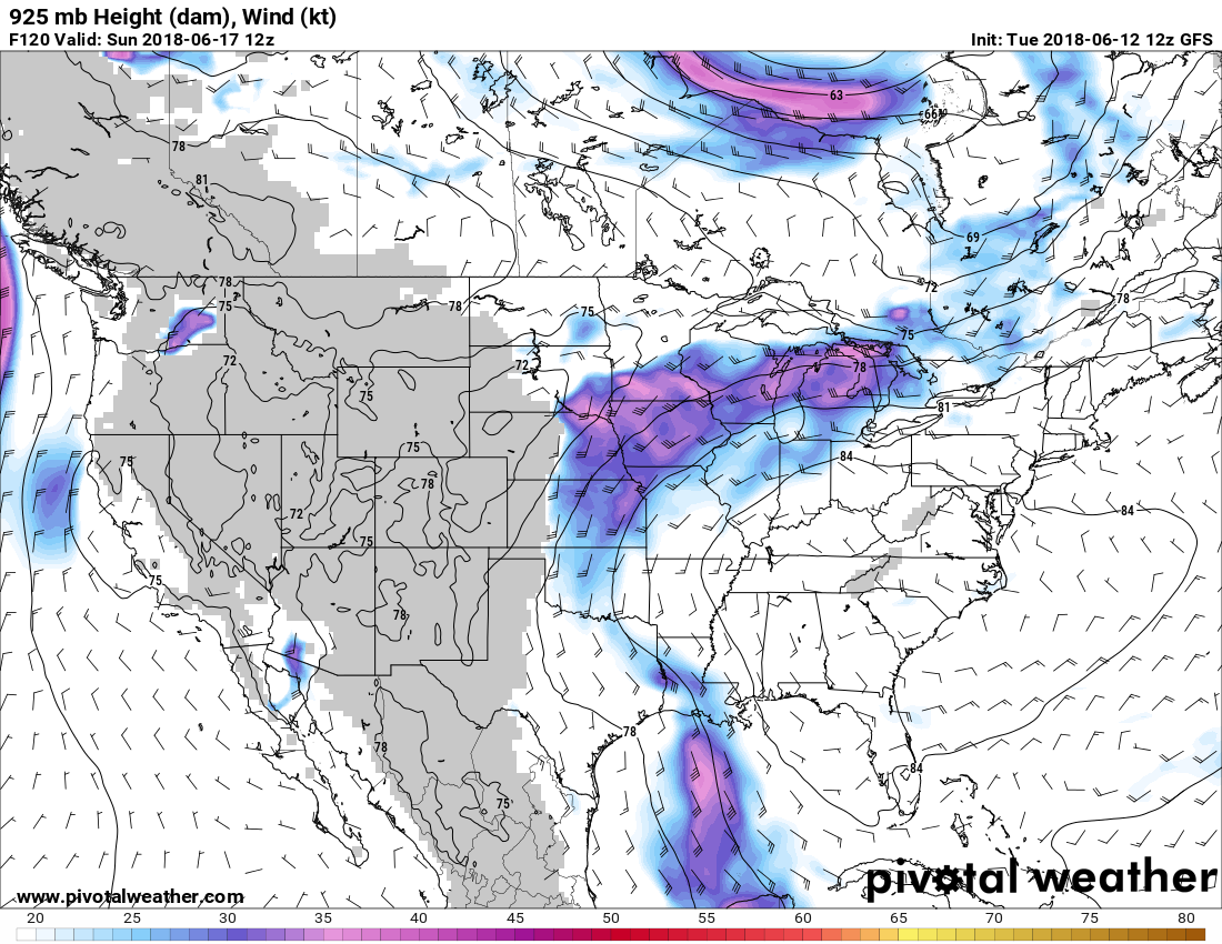
Sunday June 17th: Expect a high of 92 with a low of 72. Clouds are a bit more scattered and while there’s still overcast, the rain possibility lowers to a 50% chance for rain as the warm front descends into the area. Winds are weak out of the south-east at less than 5 mph. This day is the beginning of the moving warm front to sweep through the next few days.
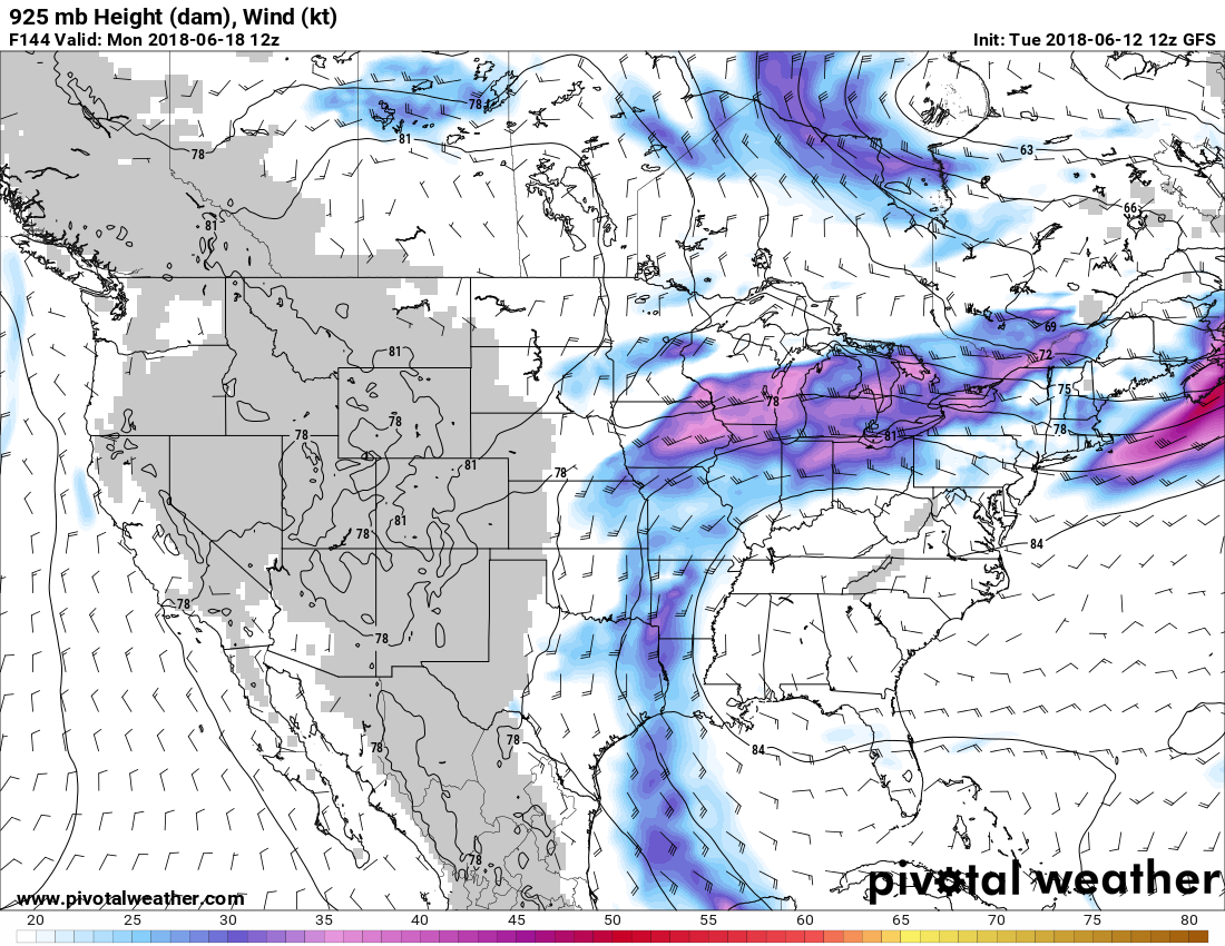
Monday June 18th: Expect a high of 95 with a low of 71. Clouds are few and far between and the rain potential has dropped back down to the southern staple of 30%. The winds are still low out of the E at less than 5 mph. This is the strongest we can expect out of the warm front as it curves around hitting parts of Texas, our region, and up into Missouri, etc. As Monday comes to a close, the front seems to dissipate and only remain with any significance in the north-east.
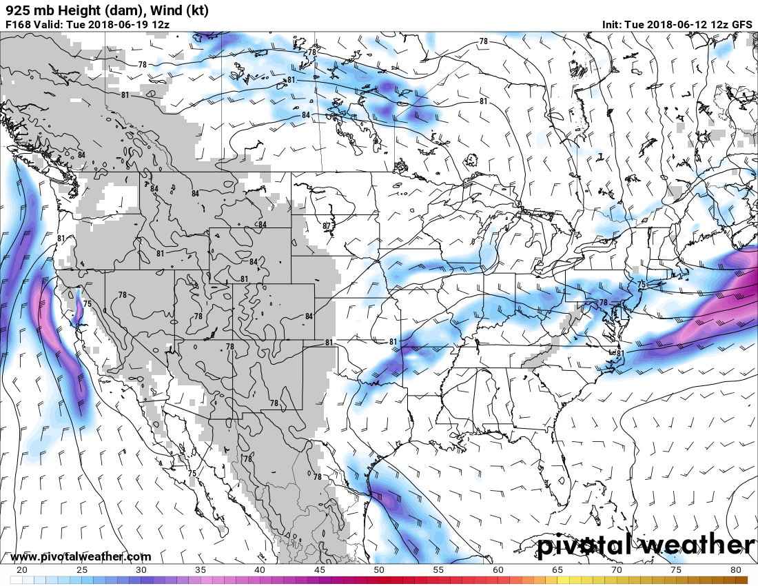
Tuesday June 19th: Expect a high of 94 with a low of 72. Clear skies are expected to allow warmth and misery to fill the spirits of Pine Belt residents and the chance for rain drops low to a 20% possibility. Sadly, there’s not expected to be any winds to give a mild break from the relatively dry heat. This will be the driest of the week so be prepared with lots of water to fight any dehydration.
Tropical Storm Update: Many of you might have seen a potential for a tropical storm that was in the forecast last week (scheduled to arrive June 15th-17th); the data has since shown that the storm is now at a much smaller scale and is likely the cause of the rain and cloud coverage that we see on Sunday June 17th. It still looks to move into Louisiana off to the west but it may still bring us enough of a Thunderstorm to satisfy the storm junkie in all of us.
Have a great week!


