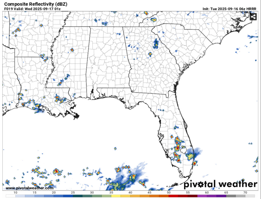
I should also preface this to say that it’s a very small chance. Due to the northerly winds in the upper levels, a few small cells will work their way down from northern Mississippi to the south and spread out a bit. Expect a few isolated thunderstorms across the central and southern portions of Mississippi and possibly even Louisiana this afternoon into the evening.
Unfortunately after this, virtually no rain for the rest of the week. The high pressure from the east is building in and a dry front will move in from the west effectively cutting off moisture flow for the next few days. Northerly flow from the low levels to the upper levels will be prevalent which means that it will be very dry.

Otherwise, it’s going to be another hot and dry week. Expect a few foggy mornings as well with the calm winds allowing for some radiation fog across much of the area. Temperatures will slowly climb from the low 90s to around the mid 90s during the day and the mid 60s to the upper 60s at night. Heat indices will still stay around the actual temperature, so I doubt heat advisories will be issued this week.
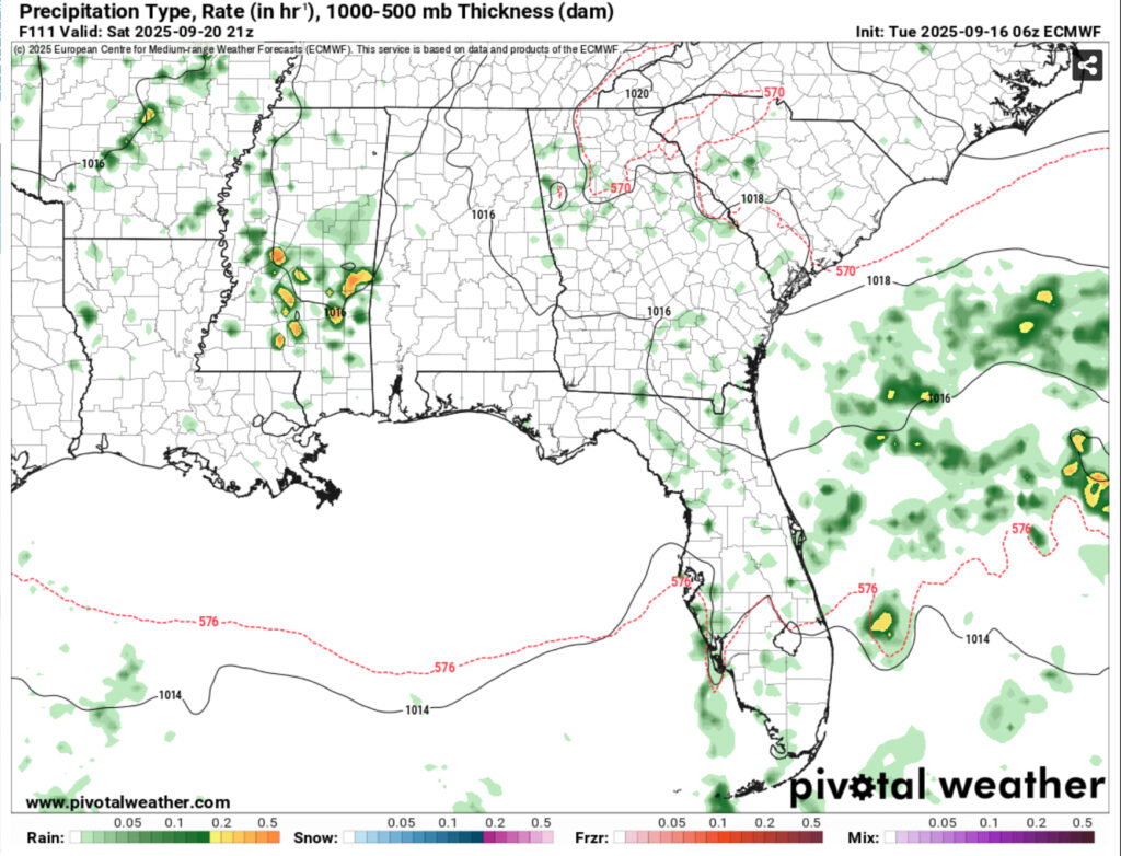
Don’t take this too literally, however the Weather Prediction Center, GFS and Euro models suggest a small chance of rain on Saturday and even Sunday. It’s a similar setup to today’s, so don’t expect much out of it, but it’s at least something.


