Meteorological autumn has been here for a few days, but knowing us in the South, Fall arrives as fast as dial-up internet and makes room for Winter as a seasonal house guest pretty quick. For now, we’re stuck with more of the dry season as we’re between dissipating fronts and a Gulf low. Expect some patchy dense fog on the roads tonight.
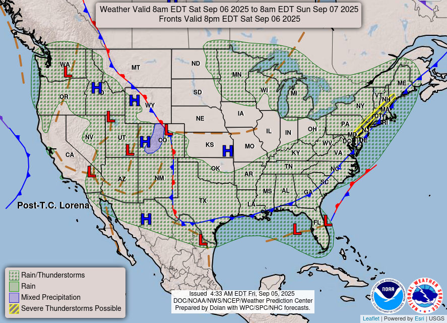
Tomorrow is really our last contender for rain and thunderstorms, and for the most part, it’s a dud for us. As quickly as it moves in, it loses steam and breaks up by the time it reaches the central portion of Mississippi. Why? Well, since the front’s moving further ahead of the main line, it chokes most of the moisture out before it has a chance to form. For us down south, we’ll see a few scattered and isolated thunderstorms by early afternoon, and even a few further east towards the MS/AL line, but nothing compared to northern Mississippi. Expect highs to reach the low 90s and lows in the low 70s.

Afterwards, we’ll be in a dry period for quite a while. The low in the Gulf won’t go away anytime soon, however a few high pressure systems will reside around the central Plains and eventually move east as a strong upper level trough moves in over northern Canada. A stray shower may happen Tuesday, but this looks to be a fairly slim chance.
Highs and lows will fluctuate a bit as a front moves through and spikes the dewpoints during the middle of the week. Otherwise, we’ll see temperatures in the upper 80s from Sunday to Monday and lows in the mid 60s. After the front moves in, expect temperatures to climb into the 90s and lows in the mid to upper 60s. Few clouds will roll in for the next several days as well. The heat index will also be fairly close to the temperature, so that’ll be a plus at least, but we’ll still be fairly hot otherwise. Winds will shift from the north to the east as the week progresses.

Regional Day-to-Day Forecast
Tonight – Patchy fog after 4am. Otherwise, mostly cloudy, with a low in the low 70s. South wind around 5 mph becoming calm in the evening.
Saturday – A slight chance of showers and thunderstorms in the early to mid afternoon. Patchy fog before 9am. Otherwise, mostly sunny, with a high in the low 90s. Calm wind becoming north around 5 mph in the afternoon. Chance of precipitation is 20%.
Saturday Night – Mostly clear, with a low in the upper 60s to low 70s. Northeast wind around 5 mph becoming calm.
Sunday – Sunny, with a high in the upper 80s. North northeast wind 5 to 10 mph, with gusts as high as 20 mph.
Sunday Night – Partly cloudy, with a low in the mid 60s. North northeast wind around 5 mph.
Monday – Sunny, with a high in the upper 80s. North northeast wind around 10 mph.
Monday Night – Clear, with a low in the mid 60s. North wind around 5 mph.
Tuesday – Sunny, with a high in the low 90s. East wind around 5 mph.
Tuesday Night – Mostly clear, with a low in the mid to upper 60s. East wind around 5 mph becoming calm.
Wednesday – Sunny, with a high in the low 90s.
Wednesday Night – Mostly clear, with a low in the mid 60s.
Thursday – Sunny, with a high in the low 90s.
Thursday Night – Mostly clear, with a low in the mid 60s.
Friday – Sunny, with a high in the low 90s.


‘Dial-up Internet’ … haven’t heard THAT term in a while!!