General Central/Eastern Kansas Forecast
Short-Term (Thursday-Saturday)
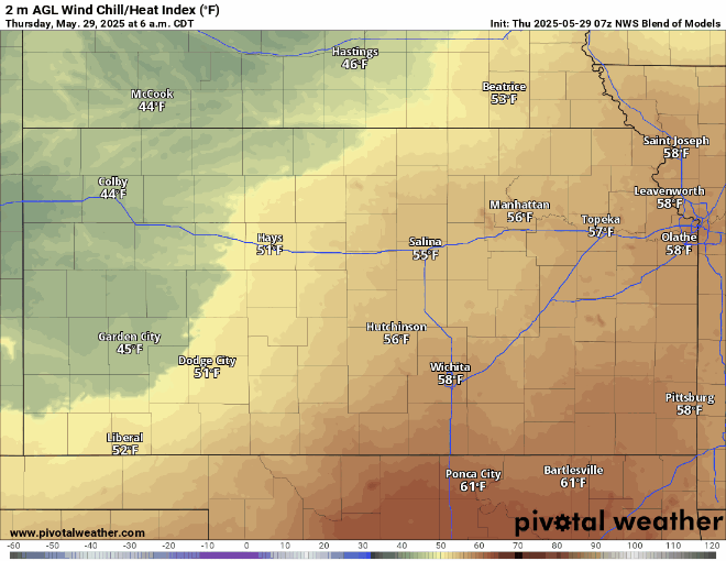
Widespread rain will continue across the area today, before becoming more isolated by the evening. Eventually, this will all taper off by 9-11pm from north to south. By tomorrow morning, the rain will fully exit the area, and drier conditions will set in across the region. Temperatures today will stay on the cooler side (in the mid/upper 60s) as clouds try to move out from the area. Starting tomorrow afternoon and into Saturday, temperatures will jump into the upper 70s and eventually the low/mid 80s. As mentioned in the previous forecast discussion, another small-scale disturbance will traverse through the state on Saturday, but rain chances from this system continue to appear minimal at this time.
Long-Term (Sunday-Wednesday)
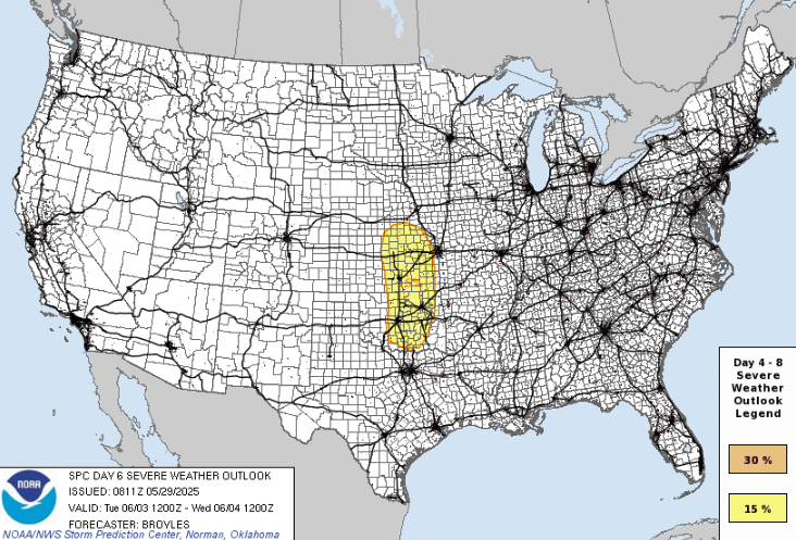
By late weekend and into early next week, high pressure will start setting in across the state and allow our temperatures to stay where we normally are accustomed to for this time of year. By Sunday, temperatures will consistently hover in the mid 80s in the afternoons. Heat indices will remain largely similar to the air temperature as it heats up, even with dew point temperatures climbing into the mid/upper 60s by Monday. Tuesday though, we will be looking at a pattern shift as our high pressure breaks down and moves off to the east. There is good agreement between the Euro and GFS models for this upper-air pattern to favor the development for thunderstorms. The specifics at this range are still unknown and won’t be resolved for a few more days, but the Storm Prediction Center has already outlined a Day 6 (Tuesday) Slight Risk (Level 2/5) in central and eastern Kansas for this system.
Soil Moisture Update
Another day of soaking rains will keep soils very saturated across central/eastern Kansas, with 10 cm saturation staying around 70-90%. Some drying should ensue through the weekend and early next week as we get a break from the rain, but considerable drying will be slightly less of a concern at this time as we enter another window for potential showers and thunderstorms by mid-next week.


