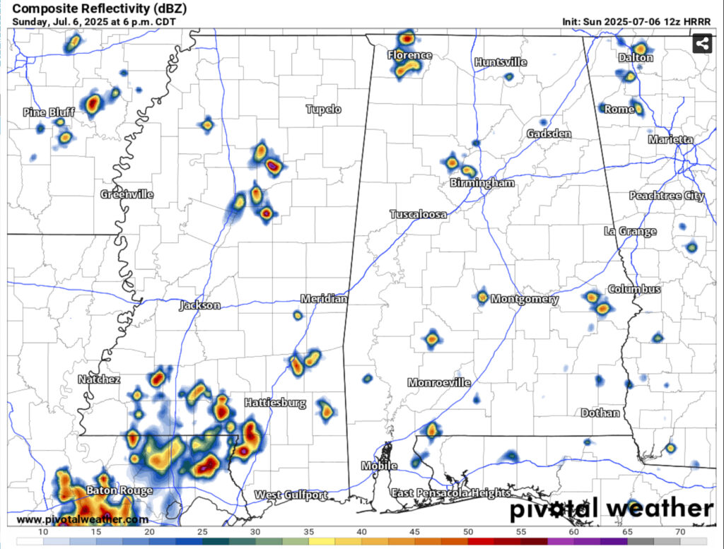
More rain is expected this afternoon as more Gulf moisture will allow pop-up thunderstorms to develop. While it’s been hot today, we’ll get a period of showers and thunderstorms across the Pine Belt and South MS/LA/AL. Mid-level flow shows storms forming and moving westward as the evening progresses before they fizzle out. Afterwards, we’ll have a brief cooldown with some humid conditions before sunset. Overnight lows will fall into the low 70s.
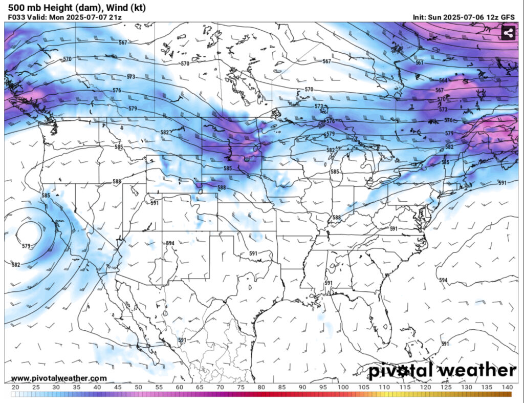
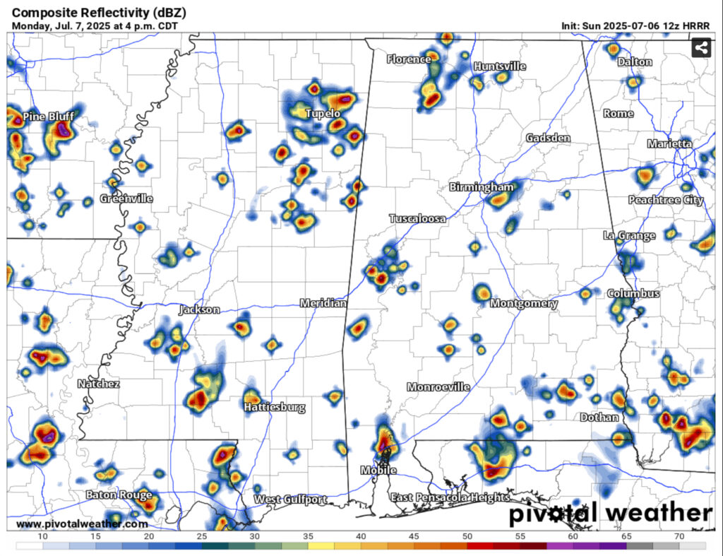
Monday will continue the trend with the upper level low moving further west. More rain chances are likely with isolated and scattered thunderstorms across most of the southeast. Highs will trend towards the low to mid 90s with the experienced temperature reaching the upper 90s to over 100. Heat advisories are possible during the week, so be careful being outdoors for the next several days and stay cool if possible!
Later in the week a large cold front will slowly move towards the southeast. The effects of the front will likely be towards the end of the week and into the weekend with increasing rain chances. During the middle of the week, more scattered thunderstorms are possible each day in the afternoon. Highs will hover around the low 90s during the day and low 70s at night.
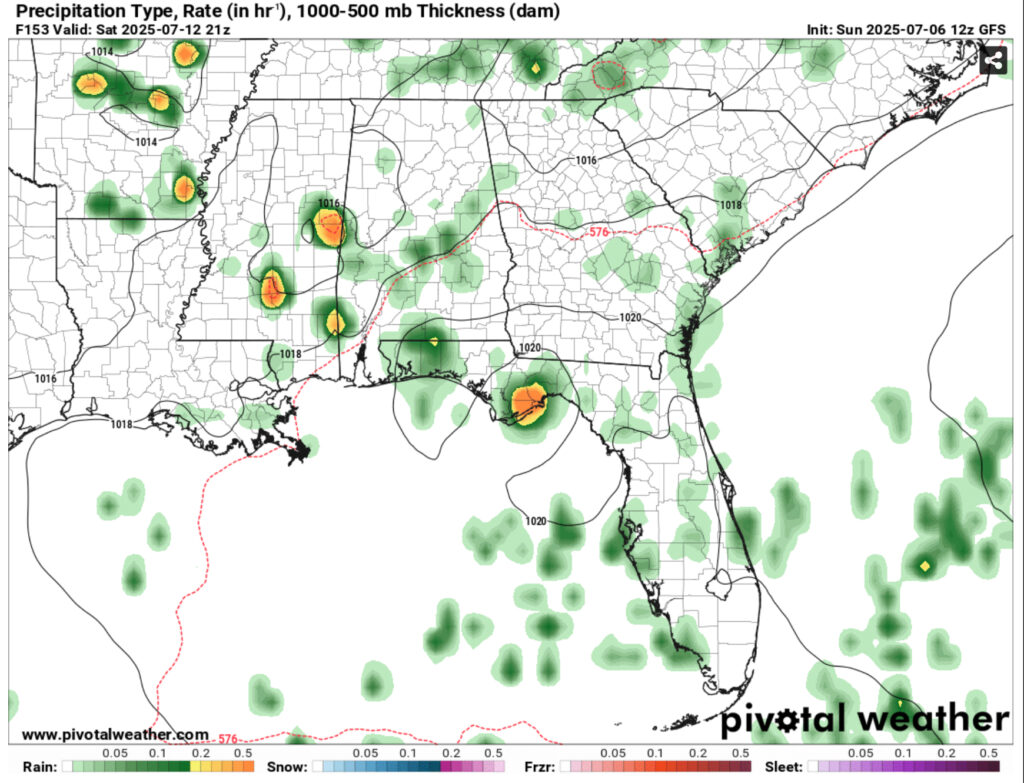
As we roll into the weekend, we’ll see an increase in rain chances as the front hangs over the coastal South. Expect some showers and thunderstorms to develop Saturday and Sunday in the afternoon. Temperatures will remain in the low 90s and lows in the low 70s.
Overall it’s going to be a more average Summer week for us. Low 90s highs with afternoon thunderstorms and humid nights to follow. Be sure to stay hydrated and protected from the sun, but also keep your umbrella on you as there’s a chance for thunderstorms each day. The weekend so far looks to be rainy in the afternoons, so be sure to have a backup plan just in case it gets rained out.
Regional Day-to-Day Forecast
This Afternoon – A 30 percent chance of showers and thunderstorms in the mid-afternoon. Sunny, with a high in the mid 90s. Heat index values as high as 100. Calm wind becoming south southeast around 5 mph.
Tonight – A 30 percent chance of showers and thunderstorms before sunset. Patchy fog before 2am. Otherwise, mostly clear, with a low in the low 70s. South southwest wind around 5 mph becoming calm.
Monday – Showers and thunderstorms likely, mainly in the mid afternoon. Patchy fog before 7am. Otherwise, sunny, with a high in the low to mid 90s. Heat index values as high as 100. Calm wind becoming south southwest around 5 mph in the afternoon. Chance of precipitation is 60%. New rainfall amounts of less than a tenth of an inch, except higher amounts possible in thunderstorms.
Monday Night – A 30 percent chance of showers and thunderstorms before sunset. Mostly clear, with a low around 72. Southwest wind around 5 mph becoming calm.
Tuesday – Showers likely and possibly a thunderstorm in the afternoon. Sunny, with a high in the low to mid 90s. Calm wind becoming southwest around 5 mph in the afternoon. Chance of precipitation is 60%. New rainfall amounts of less than a tenth of an inch, except higher amounts possible in thunderstorms.
Tuesday Night – Mostly clear, with a low in the low to mid 70s. Southwest wind around 5 mph becoming calm.
Wednesday – Showers and thunderstorms likely in the afternoon. Sunny, with a high in the low to mid 90s. Calm wind becoming west southwest around 5 mph in the afternoon. Chance of precipitation is 60%.
Wednesday Night – A 30 percent chance of showers and thunderstorms, mainly before sunset. Mostly clear, with a low in the low 70s. West southwest wind around 5 mph becoming calm.
Thursday – Showers and thunderstorms likely in the afternoon. Mostly sunny, with a high in the low 90s. Calm wind becoming west southwest around 5 mph in the morning. Chance of precipitation is 70%.
Thursday Night – A chance of showers and thunderstorms before midnight. Partly cloudy, with a low in the low 70s. Chance of precipitation is 30%.
Friday – Showers and thunderstorms likely. Mostly sunny, with a high in the low 90s. Chance of precipitation is 70%.
Friday Night – A 20 percent chance of showers and thunderstorms. Mostly cloudy, with a low in the low 70s.
Saturday – Showers and thunderstorms likely. Mostly sunny, with a high in the low 90s. Chance of precipitation is 60%.


