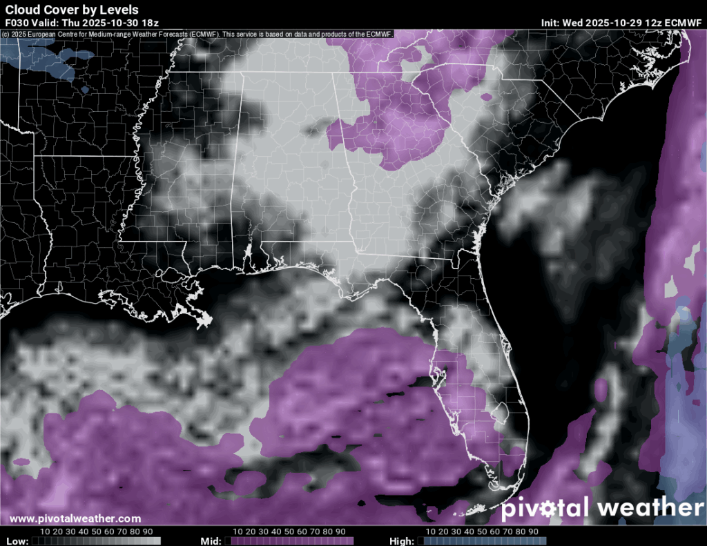
It’s been a cool and blustery day out there with a strong cold front moving through much of Mississippi. Clouds still remained keeping conditions colder than usual and they will eventually move out by tomorrow. The low for tonight will fall into the upper 40s with windy conditions. By tomorrow afternoon, the clouds will move east and the sun will prevail, but it’ll still be cooler with highs in the low to mid 60s.

Thursday’s Forecast
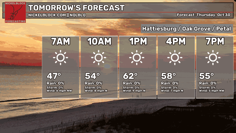
Expect clouds to move out by the afternoon, but the winds will remain. Expect winds around 10-15mph with 20mph wind gusts. Highs in the low to mid 60s and lows in the low 40s.
Friday’s Forecast
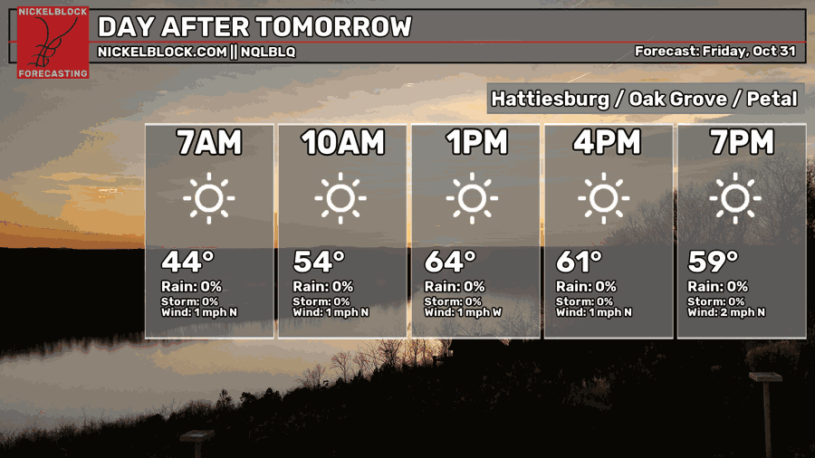
Expect highs in the mid 60s with calm winds during the day. If you’re going trick-or-treating or just going outside, be sure to bring a jacket especially in the evening because it’ll get pretty brisk out there! Lows in the low 40s.
The Weekend
The first day of Dia de los Muertos is looking quite nice. Highs will be in the upper 60s with sunny skies and winds from the east. The evening will be cool with lows in the mid 40s.
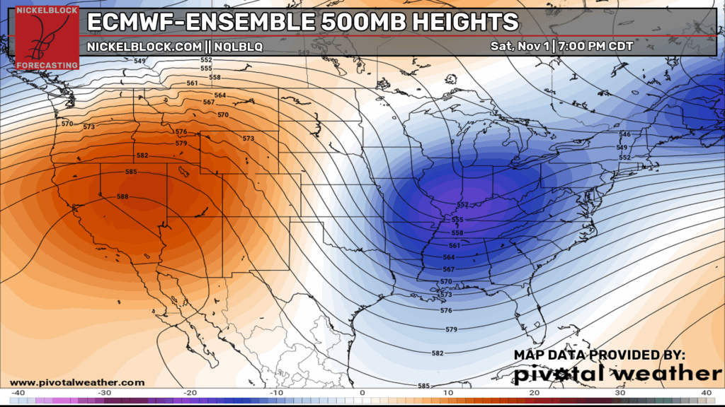
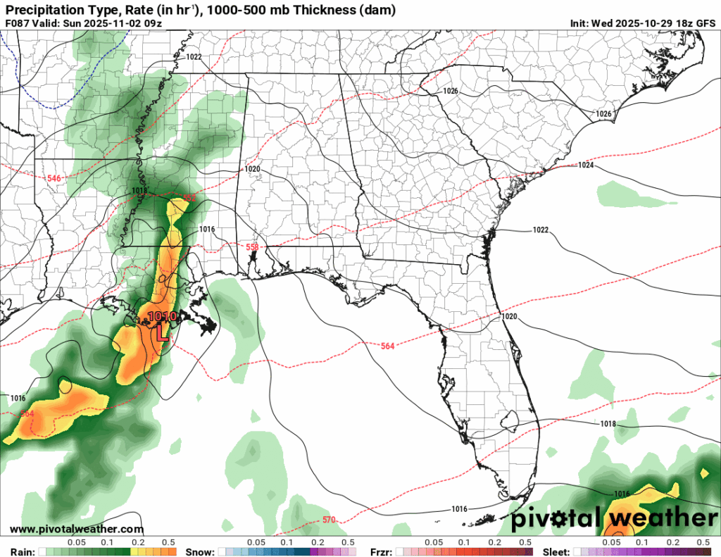
Overnight into Sunday, a surface low is diving into the coastal portion of Louisiana bringing a chance of rain with it. So far, this just looks like cold rain overnight. Other models are passing it off and not acknowledging any sort of moisture flow or splitting it between the Gulf and the northern portions of the Deep South. I believe we’ll get a little bit of rain out of this at least. The NWS is also suggesting that the back side of the cyclone will bring some scattered rain to the area into Monday, however I haven’t seen much, but they may have better model data. Otherwise, temperatures will reach the mid 60s during the day and mid 40s overnight.
The Tropics
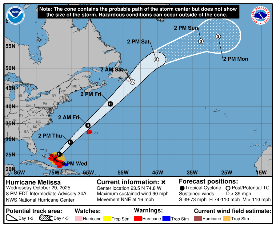
Hurricane Melissa wreaked havoc through Jamaica, eastern Cuba and Haiti as a Category 5 storm with 185mph winds, storm surge, and swaths of rain. It’s currently passing through the Bahamas as a Category 2 and will eventually move into the Atlantic where it will pass by Bermuda forecast still as a hurricane. It won’t break hurricane status until it’s reached the Labrador islands which is testament to the strength it garnered and maintained.


