The heat continues as temperatures reach the mid to upper 90s and the experienced temperature will hover around 100 for the next couple of days. Rain and thunderstorms continue as the stationary front stalls out just to our north and keeps the muggier weather towards our neck of the woods.
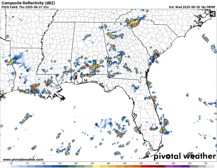
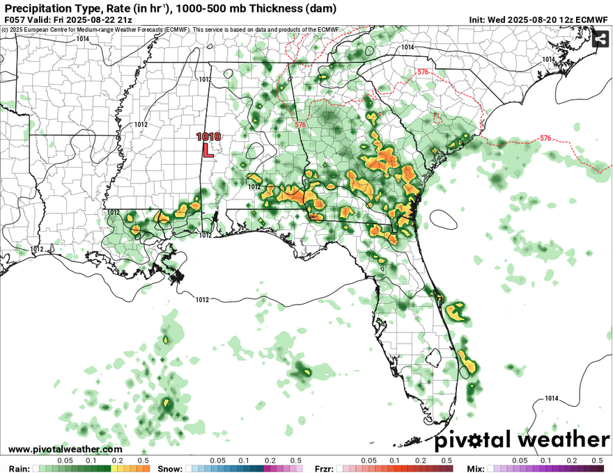
There’s a chance for scattered thunderstorms across much of the Pine Belt and much of South Louisiana and Alabama. These will hang around starting in the early afternoon to the late evening. By Friday, the front should move south and so will the storms. Expect more on the Highway 98 corridor and southward, though a few could move a bit north. Expect hot and humid conditions again with highs in the low 90s and the experienced temperature just around 100.

//Courtesy: Pivotal Weather
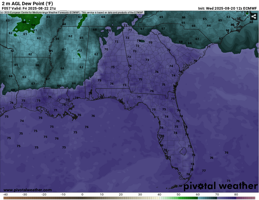
Models are still mixed on Saturday and Sunday’s rain chances. Some isolated and scattered thunderstorms are possible on Saturday from the Highway 98 corridor on south. By Sunday, the rain chances will be a bit lower as the front begins to dissolve before it gives way to another front, the “main act.” Depending on the front’s location, we could see dewpoints drop more by the end of the weekend and lower the humidity factor, but I think that we’ll still feel the mugginess before the main front moves in later next week.


