
Summer time has arrived to the Southeast and it is making itself known this next week. Much of the region will see highs rise into the upper 90s and low 100s with heat indices into the 115 to 120 range at times. Some isolated relief may be present in the form of showers and thunderstorms however which will provide relief for some, but not many.
[wpcode id=”41149″]
Today into Tomorrow
The heat has made itself know across the Southeast as temperatures soared into the uppers 90s and low 100s today due to the Ridge located over Texas. Given the positioning of the Ridge, upper level winds are coming out of the northwest which is working to transport warm dry air into the mid levels and warming the whole column effectively.
Without moisture in the column, air can warm and cool dramatically allowing not only for wide temperature swings, but also record highs to be achieved in places we wouldn’t normally see them. This combination of things is also working to provide a very stable environment which will keep shower and thunderstorm chances down. If any storms do develop they would do so along the stationary boundary located across the region. These storms, would remain fairly weak in nature and won’t last very long overall.

Digging a little deeper into the science of this heatwave here is a radiosonde sounding from the New Orleans Area. Depicted on here is a temperature of 94 degrees with a dew point of 74, definitely air you can wear, but as we go up in the atmosphere to above the 850mb line our moisture drops sharply, and doesn’t really recover.
This is more clearly shown with the 500mb video below which shows drier dew points working through the region in brown while the deeper moisture in blue and green remain scattered through the region. Additionally, the Temperature line around this point rises as our balloon is warmer than the environment allowing for additional rising action. The winds of this profile are also mostly out of the northwest showing where this dry air is coming from.
Given the dry air as well as the sinking air (also known as subsidence) storm development will be difficult and this profile can not only get warm, but heat indices can rise to dangerous levels pretty quickly. This profile should remain the standard through the end of the week as the Ridge remains overhead, but as the ridge shifts out of our domain some relief should come.
[wpcode id=”41149″]
Extended Outlook
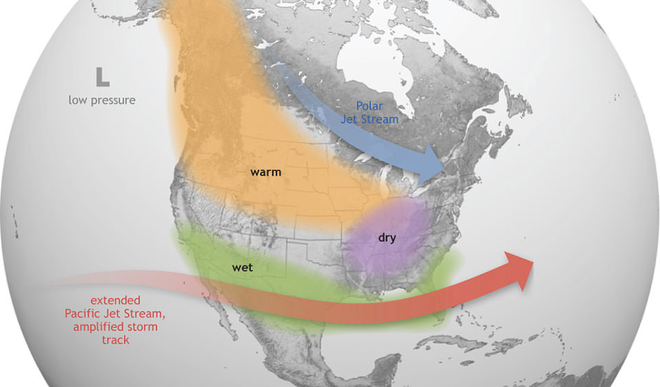
Looking into the end of next week, our ridge looks to begin to break down and give way to troughing across the United States. This troughing will promote cooler temperatures across the region as well as a more general stormy pattern. This is very typical of a El Nino pattern with wetter, cooler summers for our region. With a more zonal pattern aloft, a outside chance of severe weather would need to be monitored as shortwaves traversing the region could provide lift in environments characterized by large instability and deep moisture.
[wpcode id=”41149″]
REGIONAL DAY-TO-DAY FORECAST
Today: Mostly sunny and hot. A stray shower or thunderstorm us possible in the morning. High temperatures in the mid 90s to low 100s. Heat indices may reach up to 115 degrees. Chance of rain 20%.
Tonight: Mostly clear. A stray shower or thunderstorm is possible. Low temperatures in the upper 70s to low 80s. Chance of rain 20%.
Thursday: Mostly sunny and hot. A stray shower or thunderstorm is possible in the morning. High temperatures in the mid 90s to low 100s. Heat indices may reach up to 110 degrees.
Thursday night: Mostly clear. Low temperatures in the upper 70s to low 80s.
Friday: Sunny and hot. High temperatures in the upper 90s to low 100s. Heat indices may reach up to 115 degrees.
Friday night: Mostly clear. Low temperatures in the mid 70s to low 80s.
Saturday: Partly cloudy and hot. High temperatures in the mid 90s to low 100s. Heat indices may reach up to 105 degrees.
Saturday night: Mostly cloudy. Low temperatures in the upper 70s to low 80s.
Sunday: Partly cloudy, with a slight chance of showers and thunderstorms. High temperatures in the mid to upper 90s. Heat indices may reach up to 105 degrees. Chance of rain 30%
Sunday night: Mostly cloudy, with a slight chance of shower and thunderstorms. Low temperatures in the upper 70s to low 80s. Chance of rain 30%
Monday: Mostly cloudy, with an isolated chance of showers and thunderstorms. High temperatures in the mid 90s. Chance of rain 20%.
Monday night: Mostly cloudy. Low temperatures in the mid 70s.
Tuesday: Mostly cloudy. A stray shower or thunderstorm is possible. High temperatures in the low to mid 90s. Chance of rain 20%.
Tuesday night: Mostly cloudy. Low temperatures in the mid 70s.


