Rain chances have diminished a bit since the last 24 hours according to both the GFS and European models. Otherwise, the song remains the same (not me wearing a Led Zeppelin shirt writing this right now).
We’ll have a few more hot days ahead with overall lower humidity and a few clouds rolling in, mainly from the mid-levels. By Friday, the cold front will move in bringing more low and high level clouds but we’ll still see temperatures in the mid 90s during the day. Lows will slowly climb into the upper 60s as we go into the weekend as well.

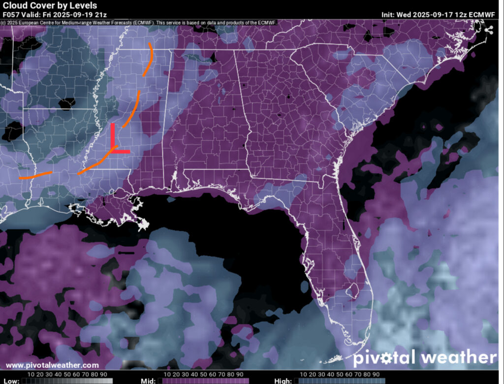
//Courtesy: Pivotal Weather
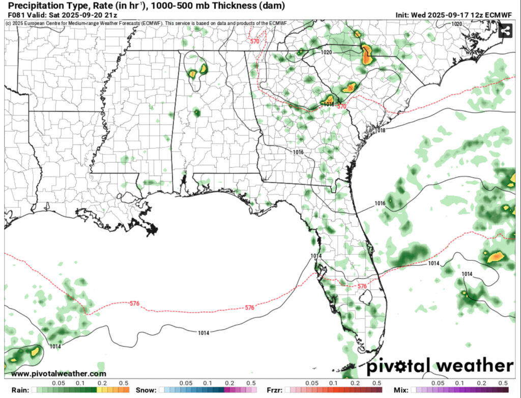
After the front rolls in, it’ll be replaced by a high pressure system moving further east and limiting rain chances than initially shown yesterday. This could change, but it’s looking pretty slim. Some isolated storms are still possible across the area for the weekend, but it’ll be few and far in between for much of the southern portion of the states. Overall, just expect it to be hot with some more clouds during the day. Temperatures in the low to mid 90s and falling into the upper 60s at night.
So far, models are implying a slightly higher chance of rain as we go into the middle of the week next week. This could also change, but the Climate Prediction Center is already looking at a slightly higher average precipitation for the year next week which is a pretty good sign.


