Downward trend might be a bit of a misnomer, but it looks like we’re starting to get into a more dynamic trend with our weather coming soon. Dewpoints are dropping more than we’ve seen in the past several weeks, which means that we’re in a drier pattern overall. The rain we’ll get will be from more mid-latitude systems than afternoon thunderstorms from the sea breeze or high pressure systems.
The first half of this week will be a mostly dry and hot one with temperatures reaching the mid 90s today and a low around 70 with hardly a rain drop in sight. As we peruse through the week, the midweek will slowly drop temperatures to around 90 and little cloud cover. Lows will reach the mid to upper 60s (mostly upper 60s for us) which means that the mornings will be a little nicer and less humid. Nice!

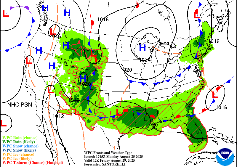
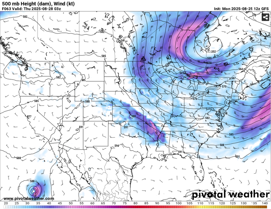
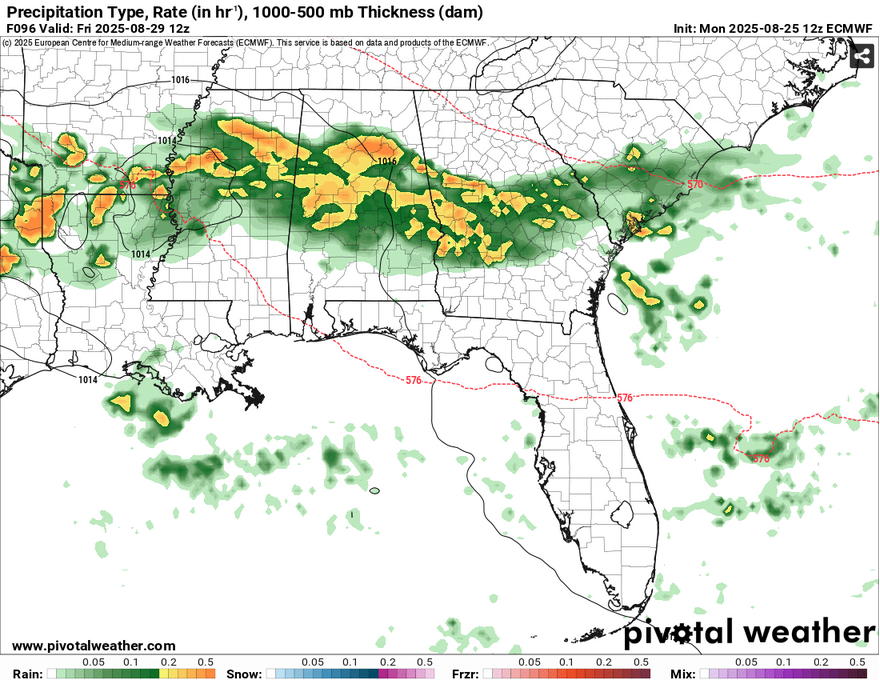
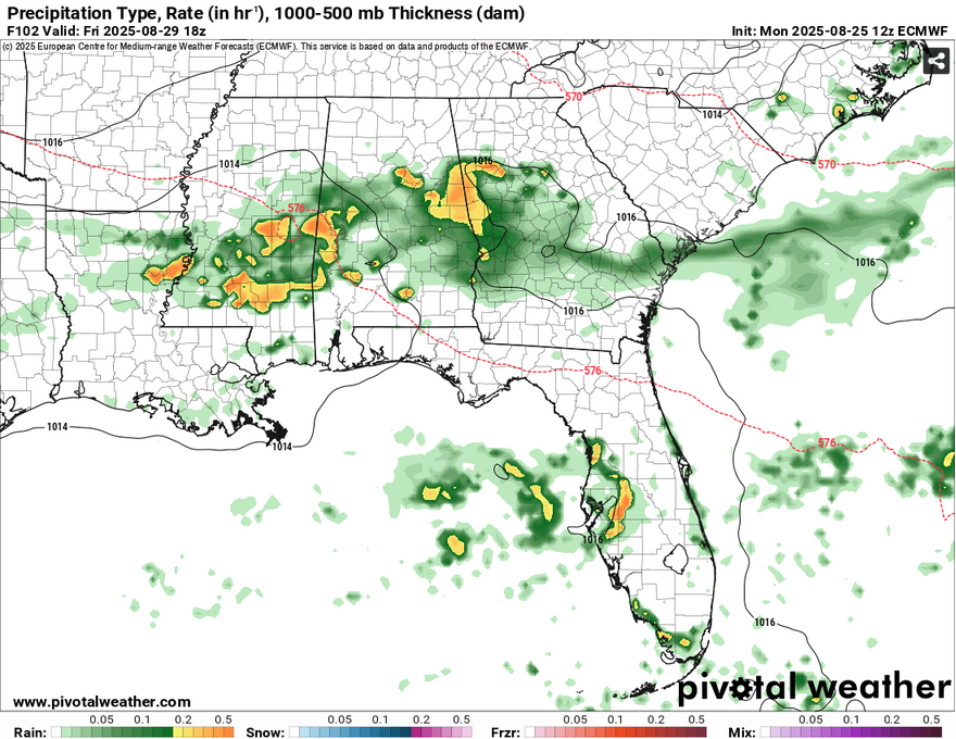
Starting Thursday evening, a slow moving front stretching across the Rockies to the I-40 line will move south due to a strong high pressure building out of central Canada. With this, a broad line of rain stretching across most of the Deep South. It will take a few days for it to move through, but our main chances for rain and thunderstorms will be Thursday night through Saturday. (Side note, shoutout to the NWS in Jackson for picking up on the later rain chances! Wish I knew what models they used for that!)
Along with the rain chances, the front will reduce the temperatures a bit by the weekend. We may see temperatures hit the upper 80s during the day which is a nice break from the sweltering conditions we’ve had. Is it fall yet? Not quite, but we’re slowly aiming towards it!
One last note is the European model is suggesting a small subtropical system to move in around the weekend, which may be possible and bring some extra rain in, but the GFS is suggesting that it moves further into the Gulf and gets carried away to the Atlantic. I’ll have an update on that Wednesday!


