With another cold front passing through, the humidity will be out of here for a short period of time. Enjoy it! It’ll be warm but at least not as overbearing as it was earlier this week.
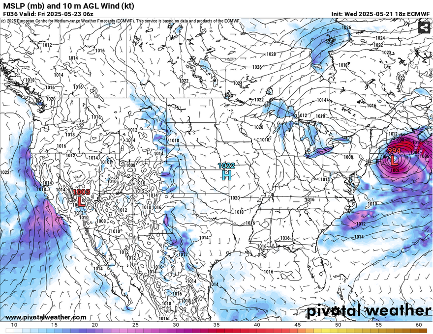
With two areas of high pressure over the Gulf and from the northern Plains, we’ll have a small dry spell helping to reduce high and low temperatures for the next couple of days. Unfortunately, this won’t last into the weekend since a surface low is moving in shifting winds to the south. Not only this, we’ll see some spotty showers and pop-up thunderstorms possible on Saturday and Sunday, too.
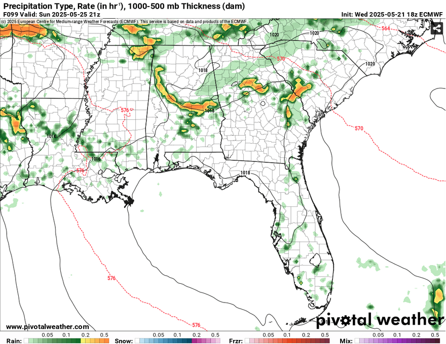
The temperature increases, and so does the humidity which means we’ll go back to our standard early Mississippi southern conditions. So if you’re out and working or playing outside, bring some sunscreen and plenty of water. Rain chances increase overnight by Sunday with a more organized low pressure system moving further east into the Deep South. With this means that, unfortunately, it looks like rain and thunderstorms are likely in the afternoon. You may want to keep your Memorial Day plans ready for the rain and stay indoors just in case.
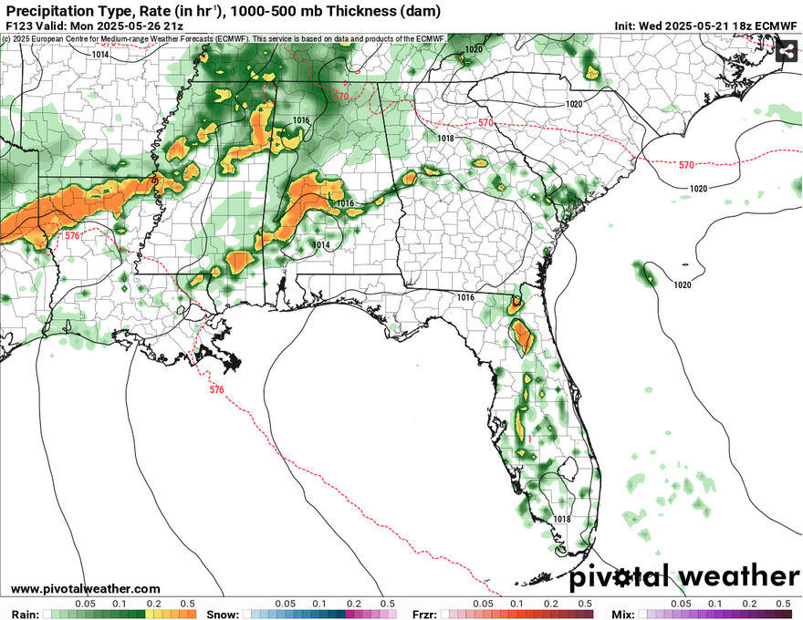
Afterwards, more rain will keep on as the front begins to pass through our area. This will likely last into Tuesday night before another large high pressure takes over.
Select Data Set:


