We’re ending the week off with somewhat warmer than average temperatures. Highs will be in the upper 60s today with a few clouds in the sky. Overnight, the temperature will fall into the low 50s with fog possible into the early morning hours. Saturday will be fairly mild overall as temperatures reach the low 70s with increasing clouds and rain chances increasing as we reach the overnight hours.
//Courtesy: Pivotal Weather

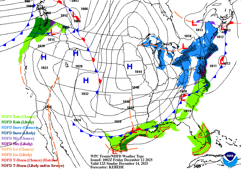
We’ll feel a taste of winter on Sunday with blustery winds and highs in the low 50s. I would bring a coat and a toboggan with you if you’re going to church or out shopping. I can see a hard freeze warning coming for Sunday night as temperatures fall into the low 20s, so cover your pipes, leave the faucet running and bring your pets indoors. Monday will be fairly cold as well with highs in the mid 40s and sunny skies. Overnight, we’ll likely have another freeze warning with lows in the mid 20s.
//Courtesy: Pivotal Weather
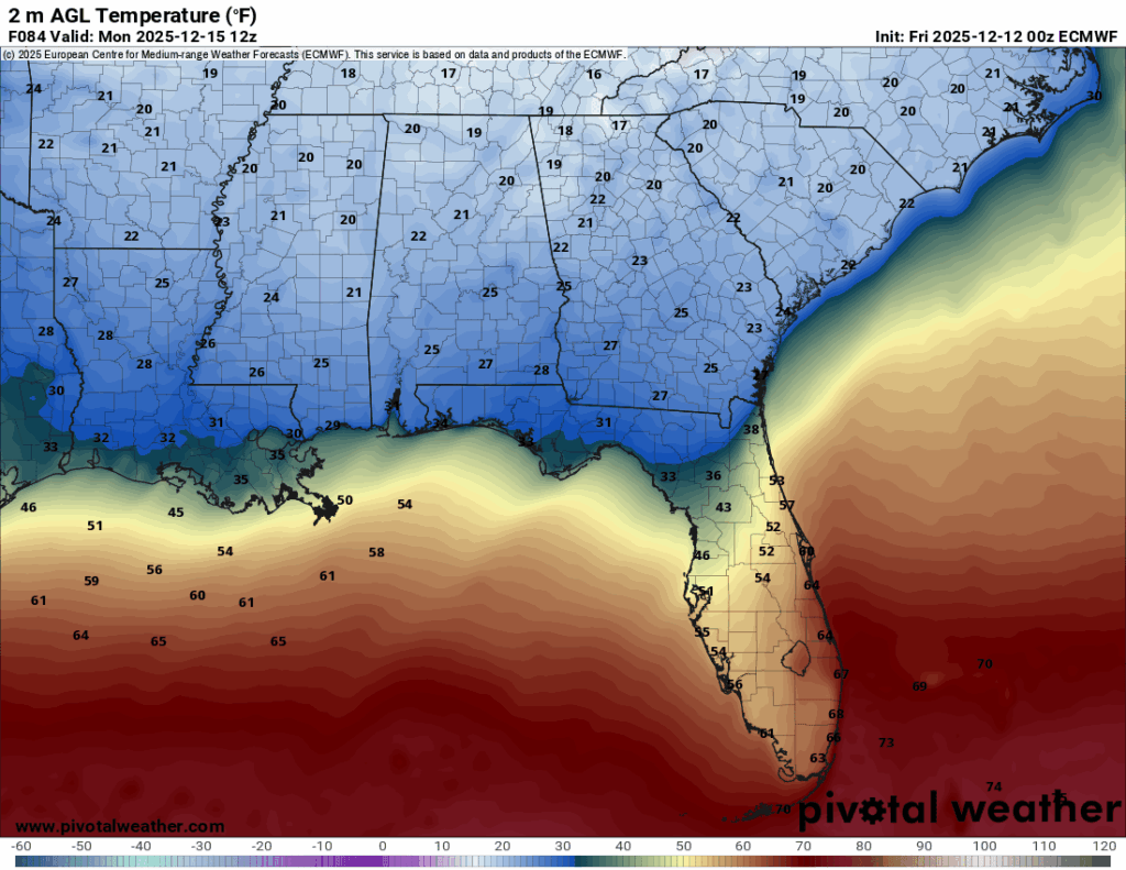
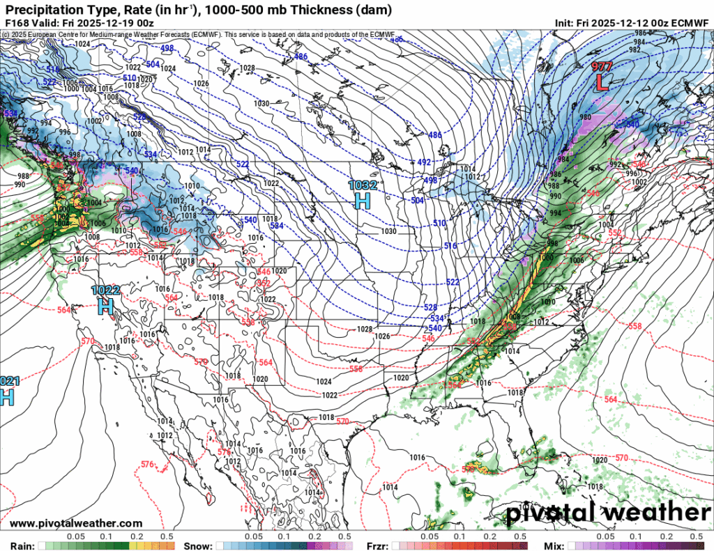
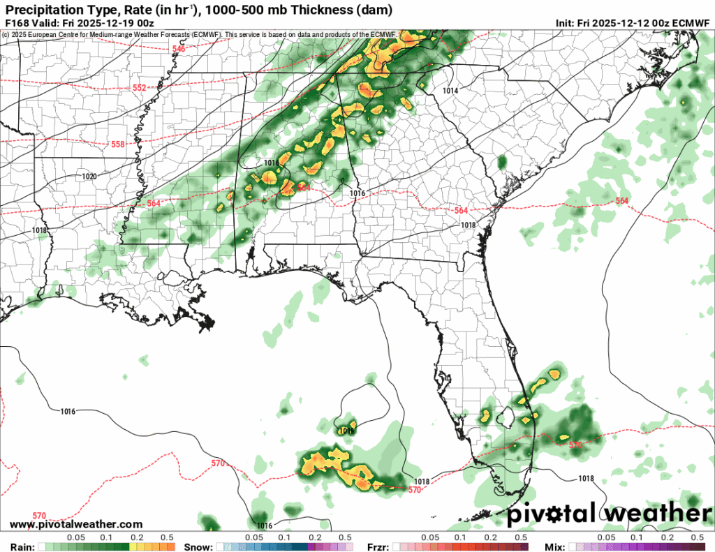
Through the rest of the week, we’ll have a consistent warmup with temperatures in the upper 50s on Tuesday, then quickly shooting up to the upper 60s on Wednesday and low 70s by Thursday. Lows will also follow suit from the upper 30s to the low 50s by Friday morning. We’ll also have a decent chance for rain Friday evening with a large low pressure system in Canada bringing some rain, but it’ll also be at the tail end of the system, so this likely won’t last very long. I’ll update the forecast next week as the models update. Otherwise, Friday will be a fairly mild one with highs in the mid 60s.

Regional Day-to-Day Forecast
Today – Patchy fog before 8am. Otherwise, mostly sunny, with a high in the upper 60s. Calm wind becoming south southwest around 5 mph.
Tonight – Patchy fog. Otherwise, mostly cloudy, with a low in the low 50s. Calm wind.
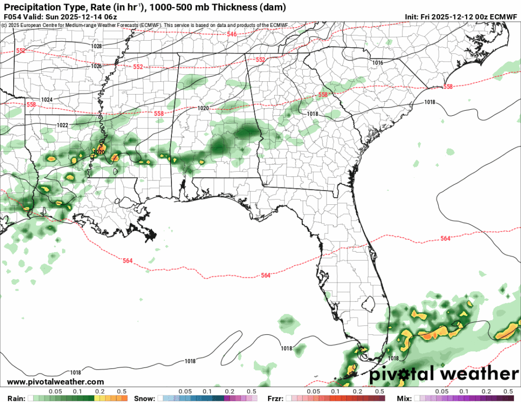
Saturday – A 20 percent chance of rain after noon. Patchy fog before 7am. Otherwise, partly sunny, with a high in the low 70s . Calm wind becoming south around 5 mph.
Saturday Night – Shower and a possible thunderstorm. Mostly cloudy, with a low in the upper 40s. Light and variable wind becoming north 5 to 10 mph after midnight. Chance of precipitation is 50%. New rainfall amounts of less than a tenth of an inch, except higher amounts possible in thunderstorms.
Sunday – Mostly sunny, with a high in the mid 50s. North wind 10 to 15 mph, with gusts as high as 25 mph.
Sunday Night – Clear, with a low in the low 20s. North northeast wind 5 to 15 mph, with gusts as high as 25 mph.
Monday – Sunny, with a high in the mid 40s. North northeast wind around 5 mph becoming calm in the afternoon.
Monday Night – Mostly clear, with a low in the mid 20s. Calm wind.
Tuesday – Mostly sunny, with a high in the upper 50s. Calm wind becoming southeast around 5 mph.
Tuesday Night – Mostly cloudy, with a low around 40.
Wednesday – Partly sunny, with a high in the mid 60s.
Wednesday Night – Mostly cloudy, with a low in the low 50s.
Thursday – Mostly sunny, with a high in the low 70s.


