General Central/Eastern Kansas Forecast
Short-Term (Tuesday-Wednesday)
Showers and thunderstorms are ongoing across most of central and eastern Kansas this morning as our low-pressure system passes over us. The main concern for these thunderstorms today and tonight will be heavy rainfall. Due to the way these storms will be developing and moving, we will see training thunderstorms all along and in front of the cold front. This will allow for multiple rounds of showers and thunderstorms to repeatedly impact the same area throughout the day and night, which will increase the flood potential throughout the region. Exact totals will vary from place to place depending on how quick the cold front moves, but generally, expect widespread 1-2 inches, with locally higher amounts possible with the heaviest of storms/most intense group of training thunderstorms. In anticipation of this, a Flood Watch has been issued for areas along and east of US-77 until Wednesday morning. Rain behind the front will taper off overnight tonight into early Wednesday morning.
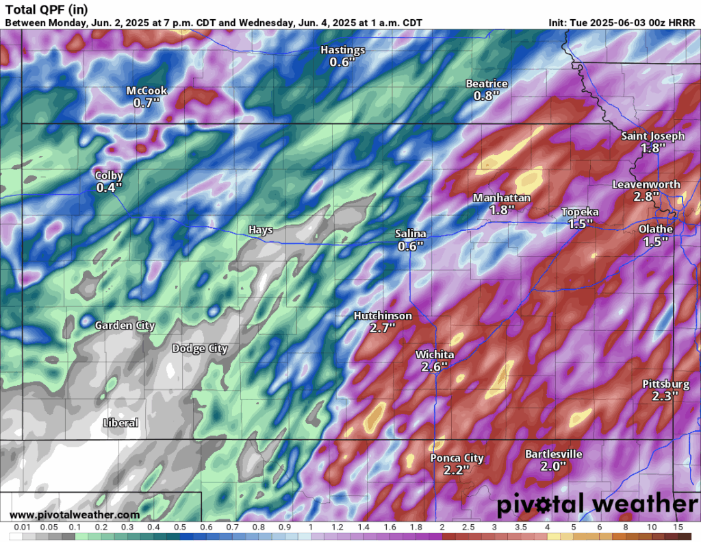
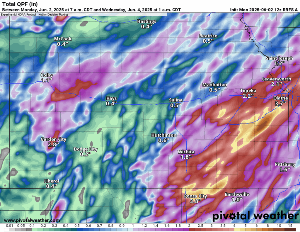
Severe thunderstorms can’t be entirely ruled out in front of the cold front, depending on solar heating and mixing of the air, but given the storm mode and wind shear in play, some hail and a couple damaging wind gusts cannot be ruled out. The most favored area for these severe thunderstorms will be predominantly southeast of I-335 throughout the day.

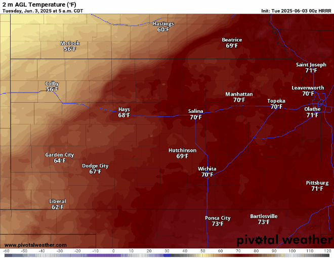
Temperatures today will reach the low to mid 70s in front of the cold front, although temperatures may reach as high as the mid 80s in southern/southeastern Kansas where the chances for the sun to break through the clouds in front of the cold front are greater. Behind the front, temperatures will be pushed down into the low 60s to upper 50s. This front will enter north central Kansas by 8-9am and fully traverse central/eastern Kansas, exiting the state (or at the very least stalling out around Cherokee County) by 8am Wednesday.
Wednesday will see conditions calm down a bit before the week continues on and we get further potential rain chances in the back half of the week. Temperatures across the area will range from the low/mid 70s during the day and upper 50s (north-central Kansas) to upper 60s (southeast Kansas) overnight. Winds will be mainly out of the east at 5-10 mph.
Long-Term (Thursday-Monday)
Zonal flow aloft will persist over us through the long-term period, with the opportunity for several smaller disturbances to pass through. These disturbances will be enough to foster the potential for scattered thunderstorms almost daily every day through the weekend. Temperatures will range from the low to upper 70s Thursday and Friday before slowly climbing back into the low to mid 80s by the weekend and early next week.
Soil Moisture Update
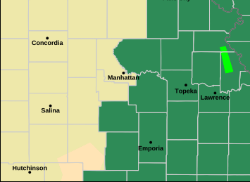
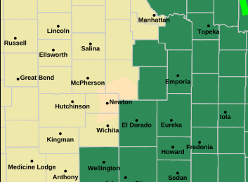
Currently, most soils are somewhere between 60-80% saturated at the 5 and 10 cm depths mainly south of I-70, with some drier conditions found north of I-70. Soils over the next few days will be back to largely saturated with the large amount of rainfall coming our way. All abnormally dry/drought conditions will continue to improve this week with the repeated rounds of rainfall. Due to the heavy rainfall, some washing out of soils may arise in localized areas that do see heavier thunderstorms.


