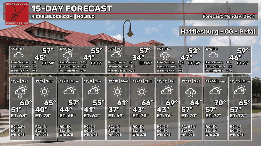
We’re in for cooler, wetter weather for the week as more fronts will bring more chances of rain tonight into tomorrow and Thursday into Friday. Temperatures overall will be cooler averaging around the 50s and lows will fall below freezing Tuesday night before moving back up into the 40s when the rain comes in.

Today
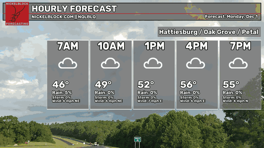
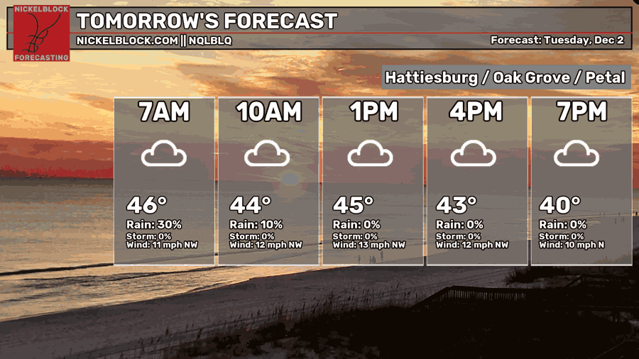
We’ll have mostly cloudy skies today with a high in the mid 50s. Rain chances won’t arrive until the evening hours for much of the Pine Belt. Afterwards, we’ll fall into the mid 40s with rain until the mid-morning hours.
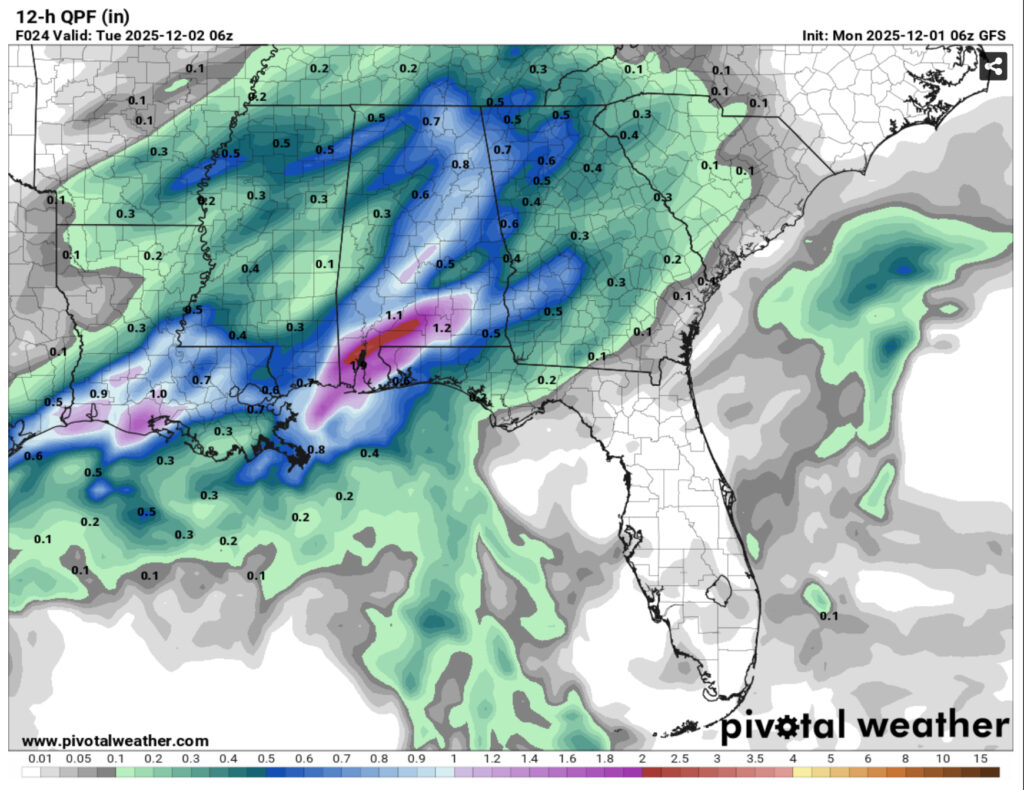
Rainfall totals are looking heavier for much of the Louisiana and Alabama coastlines and moderate for much of the inland areas. Expect the rain to leave out of Mississippi by the mid-morning hours.
Tomorrow
Expect clouds to begin clearing out tomorrow with a high around 50. Winds will be gusting out of the northwest up to 20mph, so bring a windbreaker with you if you’re going outside during the day. Lows will fall into the upper 20s, so bring your pets in and cover your plants as a freeze warning is likely.
Wednesday
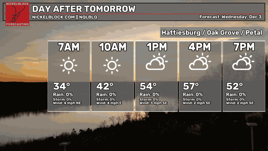
Expect a clearer day on Wednesday with highs in the mid 50s and winds shifting towards the southeast by the afternoon. Overall, a nice December day. Lows will fall into the upper 30s to around 40 overnight.
Thursday and Friday
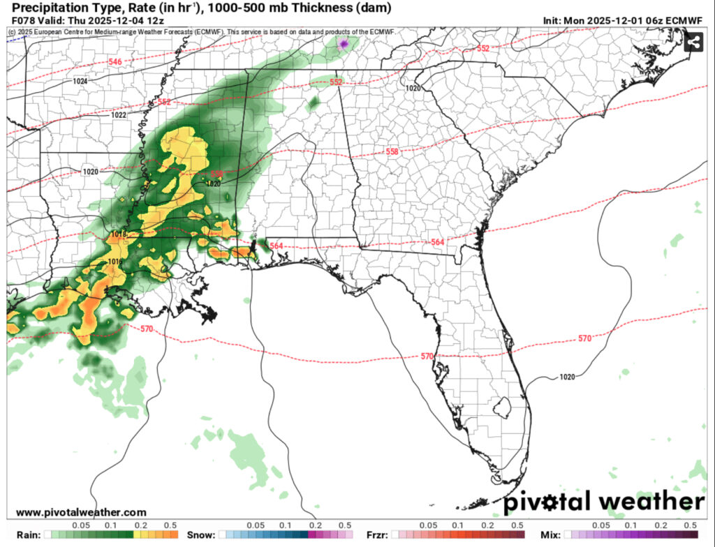
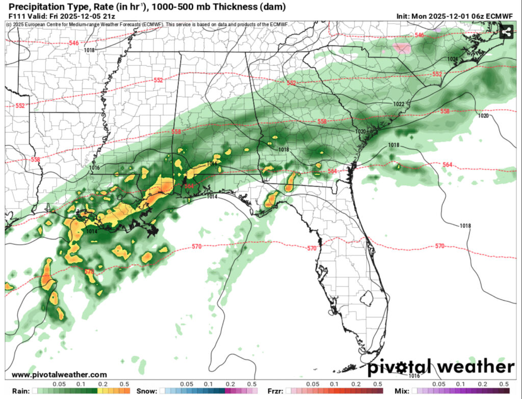
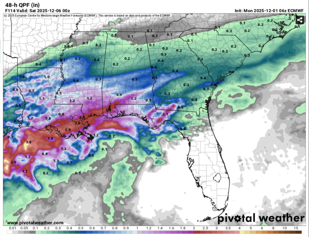
Another round of rain is likely beginning early Thursday morning for much of the Deep South. Another Gulf low will move in bringing moderate rain across the area. This will persist through to Friday and part of Saturday as it moves slowly along the coastline. This doesn’t look to be much of a thunderstorm event so far, but we can expect over an inch of rain for much of the Pine Belt and much higher for the coastal areas. Highs will reach the upper 50s to low 60s and lows in the low to mid 40s.