Overall Setup
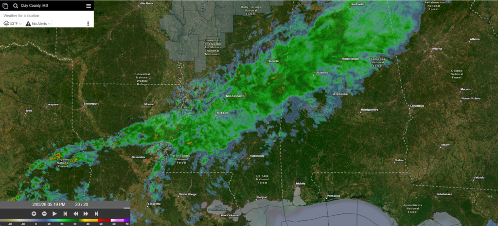
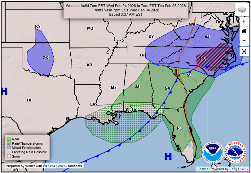
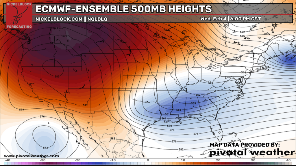
Light-to-moderate rain showers are currently moving through the northern part of our region along a cold front. Throughout the evening and night, this rain will move south and east and exit by morning. We are under an area of troughing tomorrow, so temperatures will be below average. We will be seeing a return of some strong ridging very soon, though, so above normal spring-time temperatures are expected to make a return!

Tonight’s Forecast
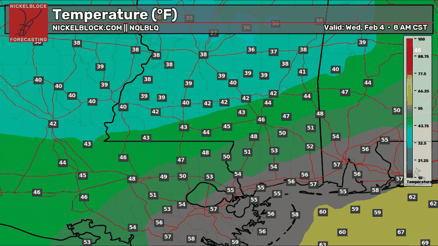
Tonight, there will be a large range of low temperatures, depending on your location. Because of the cold front coming through, we will see our low temperature at 8 am. Those further north and west will see a high in the upper 30s, mid 40s near Hattiesburg, and mid-to-upper 50s closer to the coast. Expect light to moderate rain showers through the night.
Tomorrow’s Forecast: Wednesday, February 4
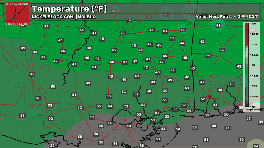
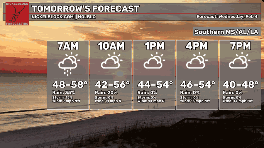
Tomorrow, the rain should exit before 10 am completely from our region. After it’s departure, clouds will decrease and we will see a high temperature from the upper 40s to the lower 50s. Expect some gusty winds throughout the day and into Thursday as we have a strong push of northerly air behind the front. Winds could gust up to 25-30 mph, making it feel chilly!
Thursday’s Forecast: February 5
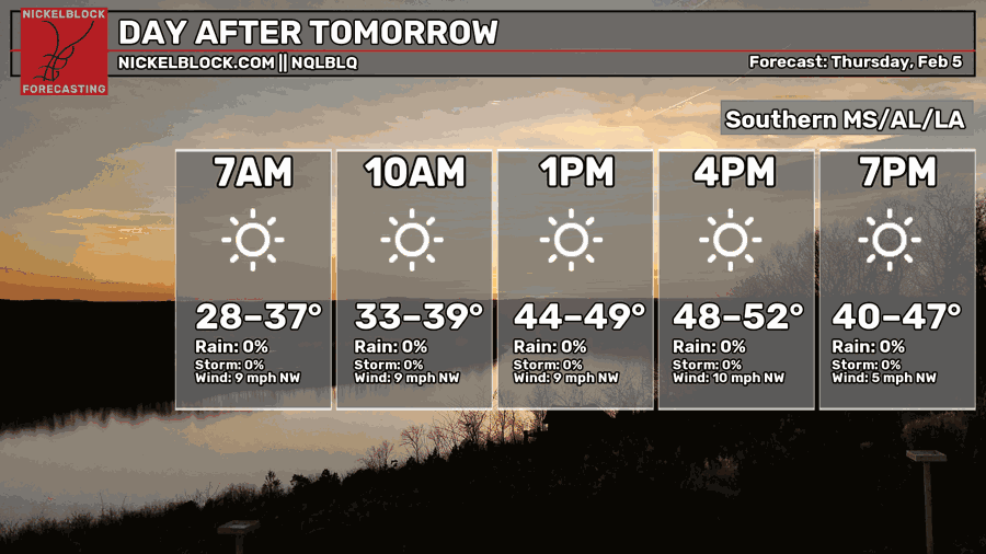
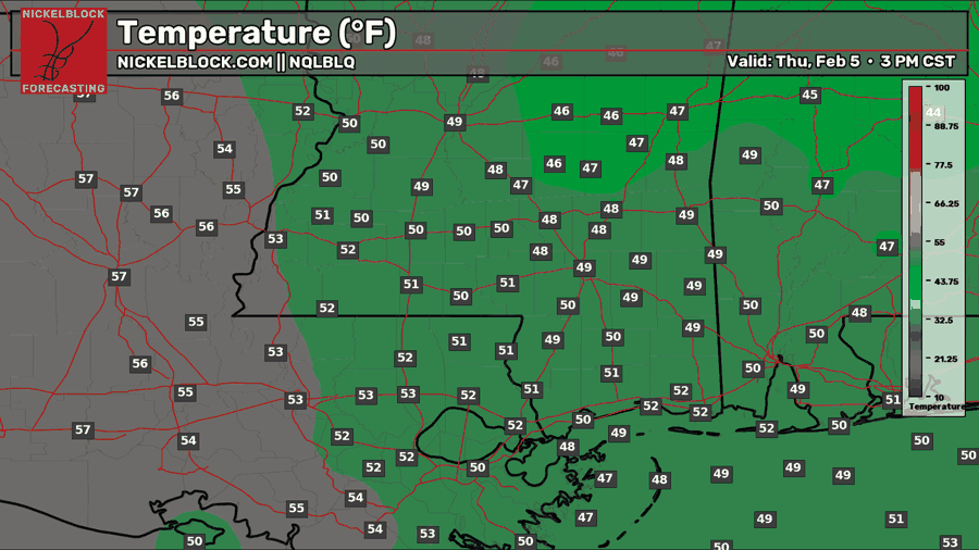
A beautiful day of abundant sunshine is in the forecast for Thursday. Temperatures are still cooler than average, but at least we’ll have some sun. Highs range from the upper 40s to lower 50s.

Extended Local Outlook
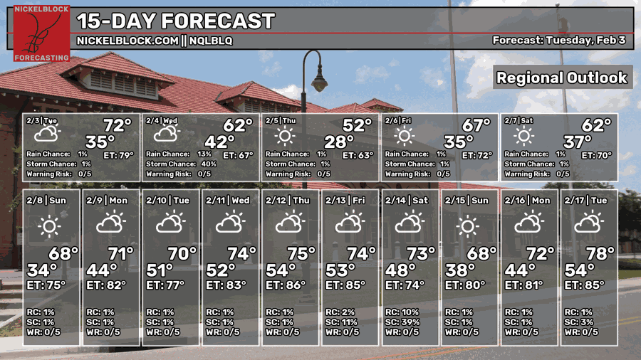
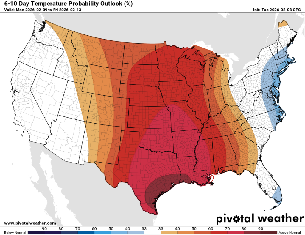
We’re not looking at much of a rain chance for this weekend, and temperatures are looking near or slightly above normal for the first time in a while. Highs on Saturday will be in the lower 60s, and upper 60s on Sunday. Sunny skies are expected on both days. Going into next week, temperatures in the 70s will be back! As previously mentioned, the area of ridging that’s been over the west will be sliding to the east, which we will feel the influence of for the first 3 weeks of February. Winter is certainly not over, as cold air shots are still plausible before winter’s end.


