Outflow or Bust. . .the Forecast –
Hello and welcome back to the wonderful world of wacky weather interns! Emily here to start us off by looking at a brief rundown of tonight and tomorrow.
Tonight –
Expect scattered thunderstorms across a majority of the area, and if it isn’t hitting you yet, wait 15 minutes and check again. We’ve got broken clouds and temperatures at about 90. Stay safe and carry an umbrella if you’re like most and aren’t fond of getting drenched as you leave from the grocery store.
Tomorrow – Thursday, 19 July 2018
| Time | 7 | 10 | 1 | 4 | 7 |
| WX | Overcast | Cloudy | Broken Cloud | Fair | Overcast |
| Temp. | 76 | 84 | 89 | 88 | 85 |
| Wind | None | SE @ 5-10 mph | SE @ 5-10 mph | SE @ 5-10 mph | SW @ 5-10 mph |
Expect high temperatures of 93 with a low of 75. A 20% chance for rain will be seen around the area with light winds. As we look to move into tomorrow, we see a front moving our direction from the north as it leaves Missouri to sweep down tomorrow but will be expected to vanish 72 hours out from now. Keep an eye on upcoming posts and tune in to WDAM 7 news to hear more updated weather alerts as they’re released.
Happy Wednesday everyone! It’s Kendall with your forecast for this weekend- it’s going to be a hot one.
On Friday, July 20th, the low will be 76° and the high will reach 95°. Conditions will be partly cloudy with winds out of the west at 0-5 mph. There is the possibility for an afternoon storm, with rain chances at 30%.
Saturday, July 21st, conditions will be clear and hot. The high is 96° and the low is 78°. Winds will be out of the west at 5-10 mph. The chance of rain is only 20%; however, if a storm pops up, it could be severe. The weather in Alabama will likely include strong thunderstorms, so be cautious if you have travel plans.
Sunday, July 22nd, The high is 94° and the low is 77°. Winds will be out of the northwest at 5-10 mph. Expect partly cloudy skies, with a possible storm in the late evening. The chance of rain is 30%.
Thank you so much for reading the weekend forecast, and continue reading to hear about the storms brewing next week!
Good afternoon, y’all and happy Wednesday! Kendall and Emily are handling the first half of your week and I’m here to tell you what’s going on about the beginning of next week!
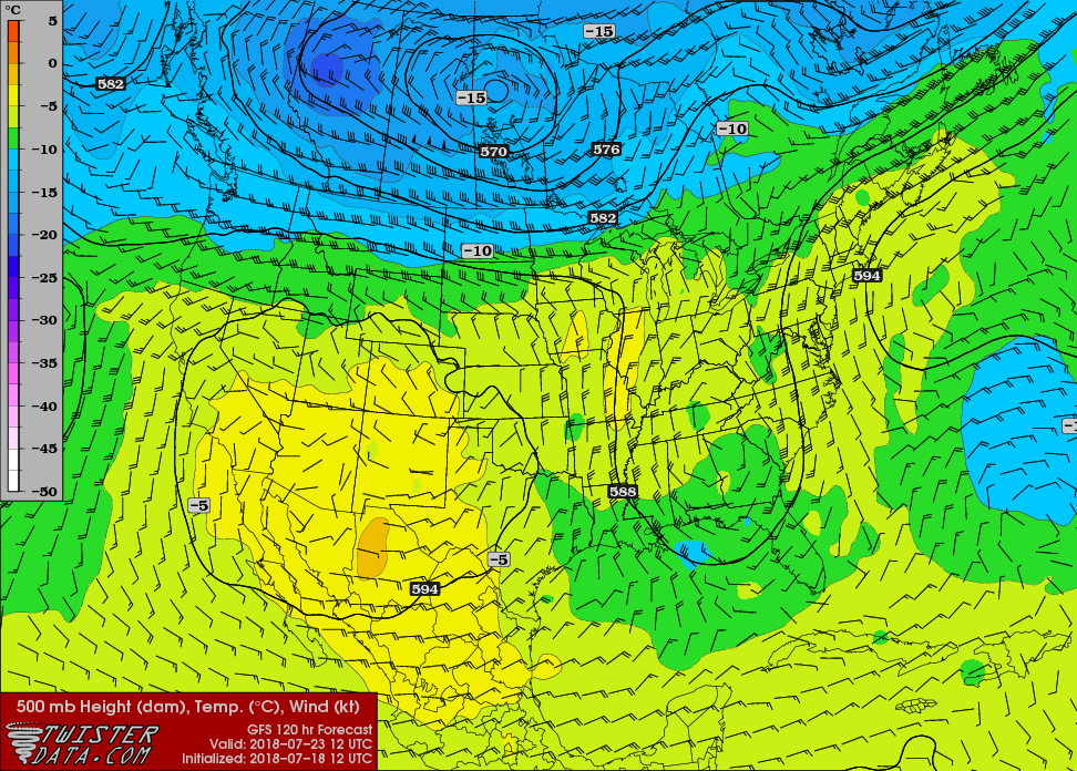
What we’re seeing at the beginning of the week is a trough that’s diving straight from a massive ridge in the southwest United States that’s bringing slightly cooler air, however that cooler air mixing with the Gulf moisture always brings in a higher chance of rain and thunderstorms. Well, that seems to be ringing true again as remnants of a low pressure system and a massive ridge bring in a large wave that will last long enough to affect the beginning of the week.
Monday will be warm after a hot weekend and we can see the chance of the rain to come in the late afternoon to evening to cool things off. This is the premonition for the next couple of days. High of 92 and a low of 75.
Tuesday has a 50% chance of rain as the trough moves its way out, however we’ll still stay warm throughout the day. High of 91 and a low of 74.
Wednesday has a good chance for rain throughout the later portion of the day leftover from the rest of the front with a high of 92 and a low of 74.
Y’all have a good week and stay safe!


