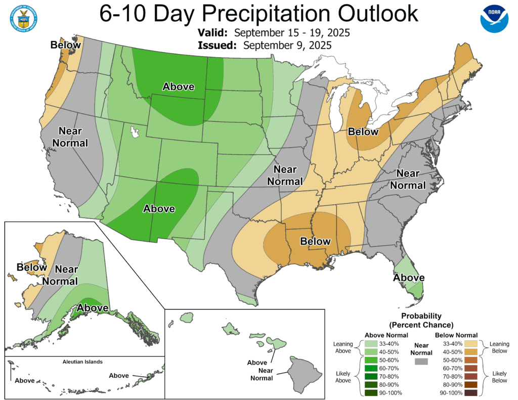
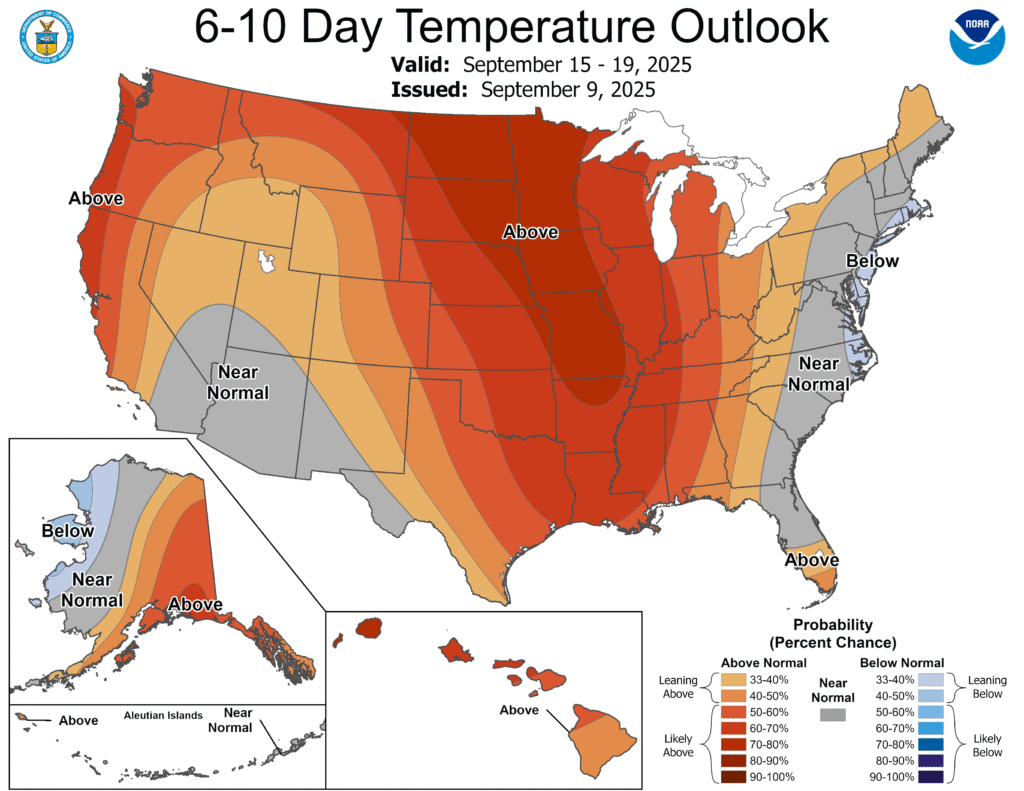
I know I’ve said it before, but we’re officially in the dry period for the year. It’s an extended one this time around, too, since the overall setup in the atmosphere is going to prevent much rain and really most clouds from forming. The other big story is the heat is officially back, and it’ll be a pretty consistent high-low pattern.
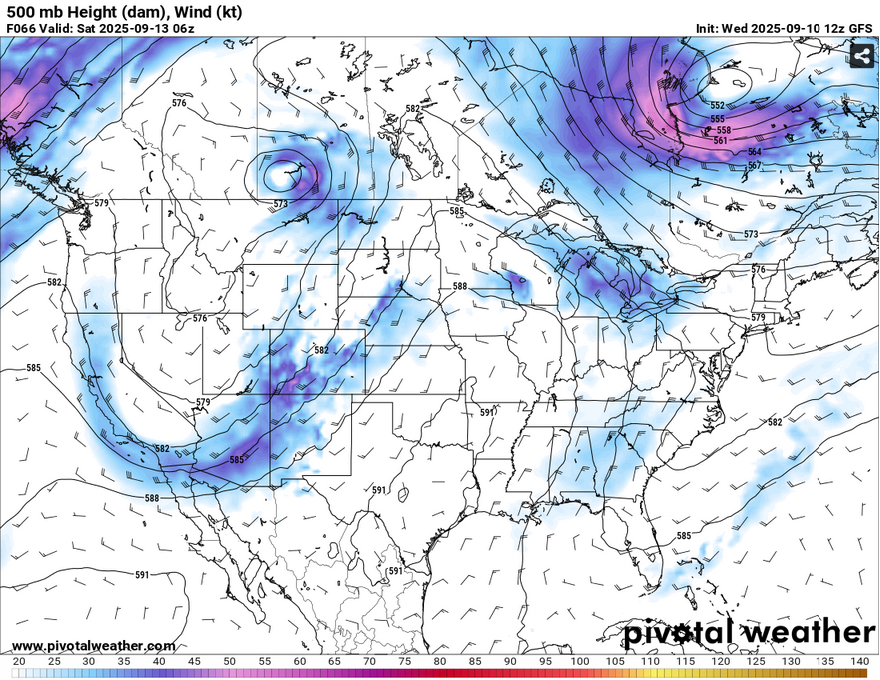
The above is mainly just to reiterate the pattern here since we’re going to be stuck in it for a while. You can see a bit of a blocking area near the northern Plains and this will continue on for the next week at least. The upper atmosphere also has a large undulating pattern that will prevent moisture flow from moving eastward.

The wind pattern will take a slight change as well as a surface high builds over the mid-Atlantic and eventually the southeast. Winds will shift from the northeast today to the east northeast by Friday and will be fairly calm. Clouds will be few and far in between. Temperatures will make a gradual climb during the day but remain consistent at night. Lows will be in the mid 60s for tonight and tomorrow before climbing into the upper 60s for the rest of the weekend. The good news is, the humidity will stay low as dewpoints will only top out in the low 60s which also means the heat index won’t climb much past the high temperature. Daily temperatures will rise from around 90 today to the low 90s and eventually the mid 90s by Sunday. Still, be sure to pack sunscreen and electrolytes if you’re out working or enjoying the outdoors.
I also wouldn’t be surprised if burn bans are issued in the future. If the vegetation dries up enough and since we’re already in a short term drought, burn bans are likely, so stay aware!


