General Central/Eastern Kansas Forecast
Short-Term (Tuesday)
Today looks to be a complicated day in terms of the type of severe weather setup most of central and eastern Kansas will be facing. An MCS is currently making its way (or at least is almost through) the area this morning and has brought isolated pockets of heavy rainfall to some.
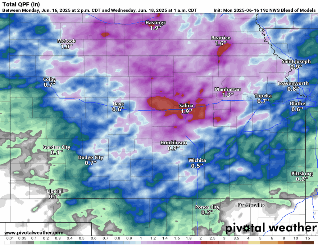
These thunderstorms will dictate how the next potential round will evolve later this afternoon and this evening. Current thinking is as a shortwave trough and associated stationary front/cold front will work its way into the state in the afternoon hours and help provide sufficient lift for scattered thunderstorm development in central Kansas. Given moderate low-level shear and strong instability, supercells capable of very large hail and a couple tornadoes would be the primary threat with these initial storms. Any residual outflow boundaries that get left behind by the morning round of storms will also provide a focal point for tornadoes should a storm be able to take advantage of it. These storms will also not be moving very fast, so any intense storm could produce a localized flash flooding risk as well. As the night goes on, these storms will keep moving towards eastern Kansas and coalesce into a cluster/MCS mode, where the main severe hazards will transition to damaging to destructive straight-line winds and an embedded tornado or two.
Long-Term (Wednesday-Monday)
Storms will fully exit the area by early tomorrow morning along with the weak cold front. Behind the front, temperatures throughout the day will reach the low to mid 80s, which will feel pleasant compared to where we are headed towards by the end of the week. Past tomorrow, temperatures will regularly reach the low to mid 90s every day through the weekend as high-pressure builds. Heat indices, especially by the weekend, will look to make a run at the upper 90s to low 100s, so heat stress and drying will begin to become more of a concern.

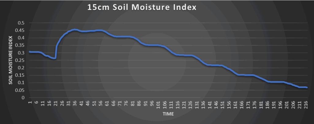
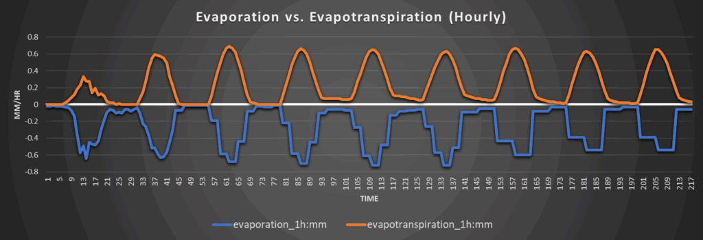
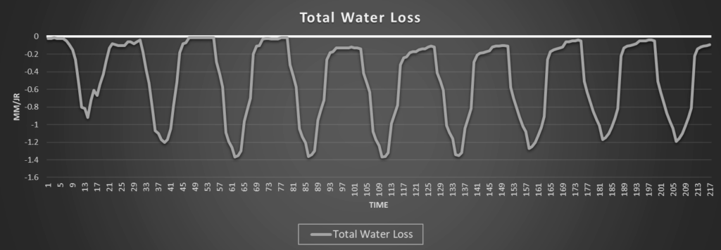
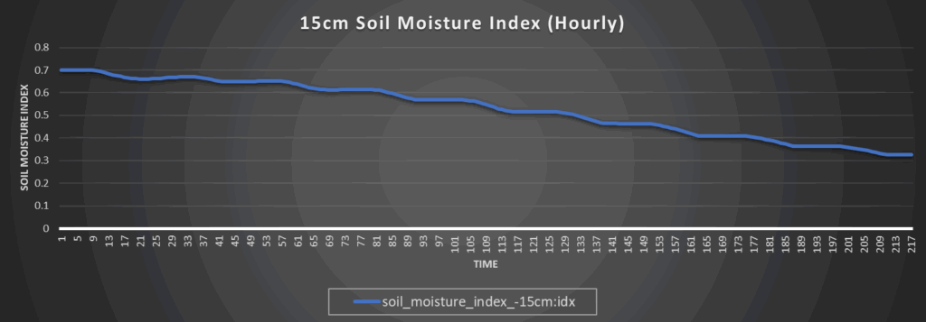
Regional Soil Moisture Update
Around Westmoreland
Around Scranton
Around Burlington
Around Altoona