A few scattered thunderstorms remain across much of the Pine Belt and central parts of Mississippi and western Alabama. They’ll rain themselves out and dissipate before sunset, and a few little storms may be possible overnight. Otherwise, our main contender for the overnight hours will be some patchy dense fog.
It’s going to be fairly dry and fairly hot in the next few days as we await another cold front moving in from the central Plains. Winds will shift to the south indicating somewhat higher humidity values across much of the area. Thursday and Friday will have highs in the low to mid 90s with mostly sunny skies and little rain to move in. Maybe an isolated storm or two, but otherwise it’s going to be just hot and humid. Lows will remain around 70.

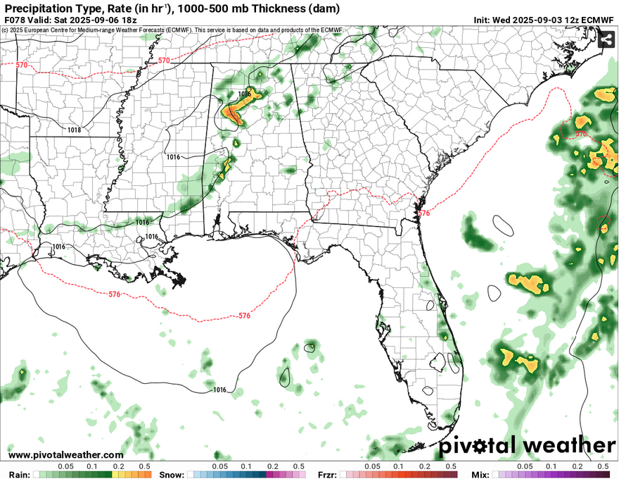
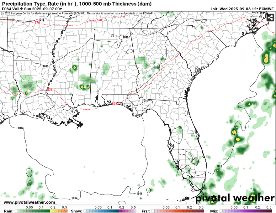
As we roll into the weekend, the cold front will make its way down south and allow for a small line of showers and thunderstorms to move in towards I-20 corridor to the coastline. I don’t think these will be plan-busters, but it’s best to keep an eye on the radar in case there’s lightning or you need to move indoors. Overall, it’ll still be hot outside, but expect some patchy fog early Saturday morning and lows around 70.
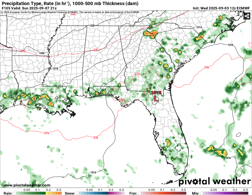
//Courtesy: Pivotal Weather
Sunday will be overall cooler outside with highs in the upper 80s to around 90 and northerly winds kicking up behind the front. A few showers and storms are possible riding along the front, and most of these look to be closer to the AlLaMiss coastline. When the front finally moves out, we’ll get a slight cooldown in temperatures with lows in the mid 60s and highs in the mid to upper 80s as the week begins. The dewpoint will also drop cutting the humidity factor. Nice!


