We’re experiencing a very warm Monday to start off the week! Temperatures topped out around 90 today in some areas and we’ll still feel that warmth for the next several days. Later on in the week, some Canadian air will sweep in from the northwest and bring in a couple of good chances for rain on Thursday and Friday before we dry out for the weekend.
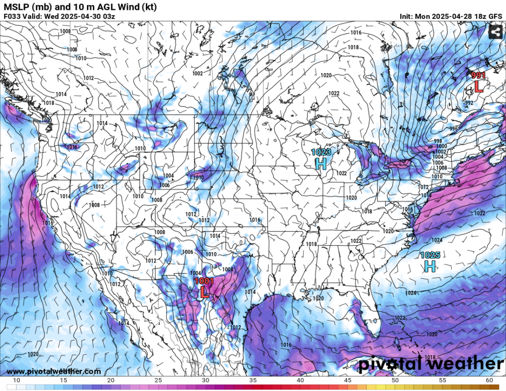
If you were tired of the soggy days from last week, the good news is that we have another couple days of partly cloudy days with little rain to speak of. The bad side of it is that it’s going to be warm and humid, and also some fog Tuesday morning. Looking at the low level analysis, the high pressure system I mentioned earlier will keep much of the developing storms near the mid-South, Midwest and southern Plains away. The low pressure will stall out across those regions bringing severe weather and flash flooding tomorrow and Wednesday. For us, we’ll see temperatures in the upper 80s to around 90 and lows slowly increasing in the mid 60s. By Wednesday we’ll also have a chance for wind gusts due to the gradient.
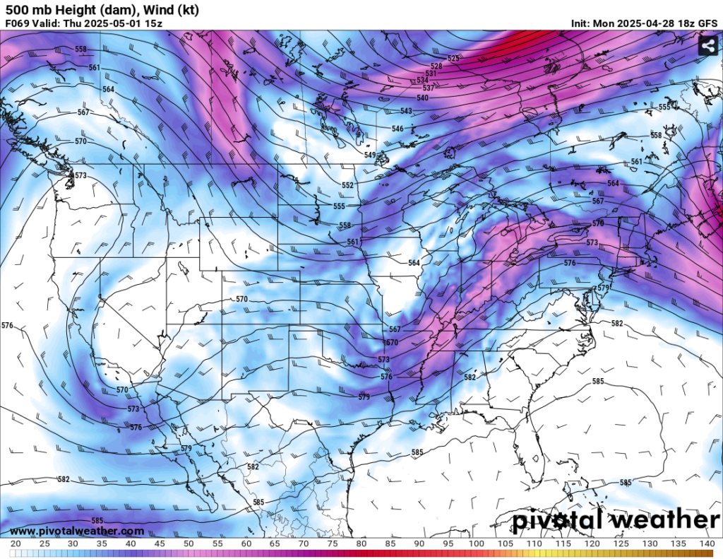
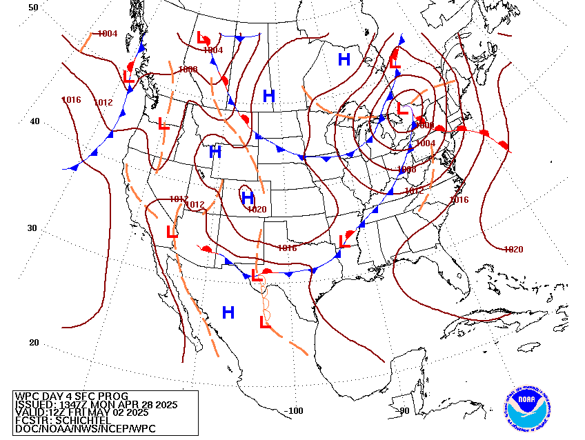
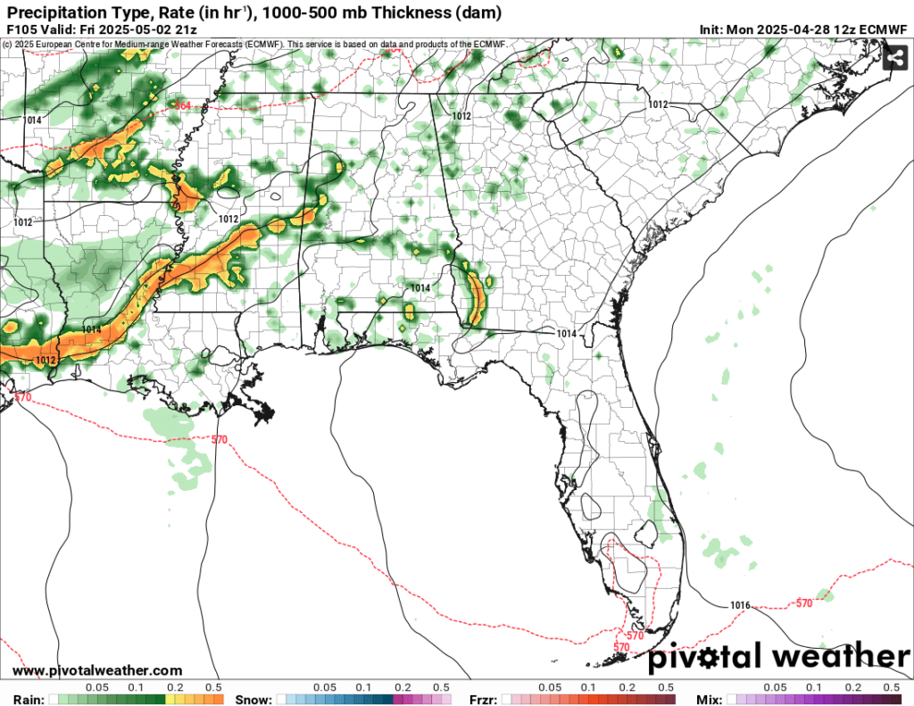
Thursday and Friday will experience a large cold front that develops out of west Texas/Mexico and rides up to the Great Lakes region. An upper level trough will move in alongside it guiding it towards the Deep South bringing us a decent convective system on Thursday. This looks to arrive in the mid-afternoon hours and remain until the evening. Thunderstorms and heavy rain will be possible as the line passes. By Friday, the Canadian air I mentioned will move the main front through the southeast. Another convective line will move in bringing some heavy rain and thunderstorms during the afternoon, and this time into the overnight hours. Temperatures will be in the mid 80s with lows in the mid 60s. Winds will shift from the southeast to the northwest by Saturday morning.

Afterwards, we’ll have a fairly pleasant weekend outside! For early May, it’ll be a good time to be out and about without too much heat. Temperatures will be in the low to mid 80s with more northwesterly winds keeping conditions drier. Sunday will be a similar story with mostly sunny skies and a small chance of an isolated thunderstorm.
Select Data Set:

Regional Day-to-Day Forecast
Tonight – Patchy fog after 5am. Otherwise, increasing clouds, with a low in the mid 60s. South wind 5 to 10 mph becoming light in the evening.
Tuesday – Patchy fog before 9am. Otherwise, partly sunny, with a high in the upper 80s. Light southeast wind becoming south southeast 5 to 10 mph in the afternoon.
Tuesday Night – Increasing clouds, with a low in the mid 60s. South wind around 5 mph becoming calm in the evening.
Wednesday – Partly sunny, with a high in the upper 80s. Light southeast wind becoming south 5 to 10 mph in the morning. Winds could gust as high as 20 mph.
Wednesday Night – Mostly cloudy, with a low in the mid to upper 60s. South wind 5 to 10 mph becoming light south southeast after midnight. Winds could gust as high as 20 mph.
Thursday – A 50 percent chance of showers and thunderstorms in the afternoon to evening. Partly sunny, with a high in the mid to upper 80s. South wind 5 to 10 mph, with gusts as high as 20 mph. New rainfall amounts of less than a tenth of an inch, except higher amounts possible in thunderstorms.
Thursday Night – A 30 percent chance of showers and thunderstorms before midnight. Mostly cloudy, with a low in the mid 60s. South wind around 5 mph becoming calm in the evening.
Friday – Showers and thunderstorms in the afternoon to the evening. Mostly sunny, with a high in the mid to upper 80s. Calm wind becoming west southwest around 5 mph in the afternoon. Chance of precipitation is 70%.
Friday Night – A 20 percent chance of showers and thunderstorms before midnight. Mostly cloudy, with a low around 63. West wind around 5 mph becoming calm.
Saturday – A slight chance of an isolated thunderstorm. Mostly sunny, with a high in the low to mid 80s.
Saturday Night – Partly cloudy, with a low around 60.
Sunday – A 20 percent chance of showers and thunderstorms. Mostly sunny, with a high in the low to mid 80s.
Sunday Night – Partly cloudy, with a low in the low 60s.
Monday – Mostly sunny, with a high in the mid 80s.


