The region will experience a typical midsummer pattern dominated by hot, humid conditions and daily chances of thunderstorms, especially during the afternoon and evening hours. The week begins under the influence of a subtropical ridge, supporting scattered convection driven by surface heating and sea breeze interactions. By midweek, a weak upper-level disturbance moves in, enhancing atmospheric lift and increasing storm coverage and intensity from Thursday through Saturday. This period will bring the highest risk of localized flooding, with slow-moving storms and high rainfall rates. As the disturbance weakens and shifts eastward by Sunday and Monday, a slight drying trend will develop. While isolated to scattered storms will still occur, storm coverage will decrease, and temperatures will rise, with heat indices climbing to 105°F in some areas. Overall, the pattern remains moist and unstable, with daily thunderstorm chances, but the most active period will be late in the week.
Scattered PM Storms Under Ridge Influence
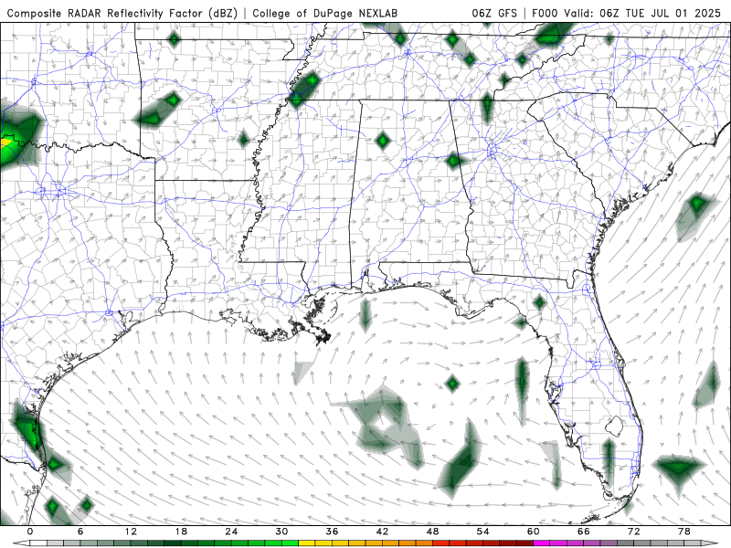
Composite reflectivity for Tuesday to Monday of next week from the GFS model. //Courtesy: College of DuPage
For Tuesday and Wednesday, a broad subtropical ridge remains in place over the Southeast, maintaining hot and humid conditions with ample Gulf moisture in the lower and mid-levels. Surface dewpoints in the mid-70s and precipitable water values (PWATs) near 2.0 inches support a moist and unstable airmass. Daytime heating and mesoscale boundaries such as sea breezes and outflows will trigger scattered afternoon and evening thunderstorms. These storms will be pulse-type, forming quickly and dissipating within an hour, but capable of producing brief heavy rainfall, gusty winds, and frequent lightning. Highs will range from 90–95°F, with heat indices near or above 100°F.
Enhanced Storm Coverage with Upper-Level Disturbance
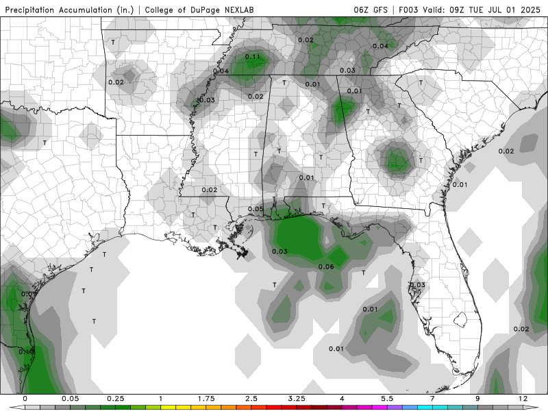
Total Precipitation Accumulation for Tuesday to Monday of next week from the GFS model. //Courtesy: College of DuPage
From Thursday through Saturday, a weak upper-level trough or inverted disturbance moves westward across the Gulf Coast, enhancing mid-level lift and increasing storm coverage and intensity. This feature interacts with deep tropical moisture, pushing PWATs above 2.2 inches and creating a highly favorable environment for convection. Storms will be more widespread and slower-moving due to weak steering flow, increasing the risk of localized flooding, especially in urban and low-lying areas. Rainfall rates may exceed 1–2 inches per hour in stronger cells. Expect numerous afternoon and evening thunderstorms, with highs in the upper 80s to low 90s and lows in the mid-70s. Outflow boundaries from earlier storms may trigger secondary convection, prolonging storm activity into the evening hours.
Slight Drying Trend with Isolated Storms
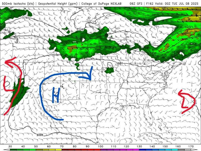
500 mb map for Monday of next week from the GFS model. //Courtesy: College of DuPage
By Monday, the upper-level disturbance weakens and shifts eastward, and subsidence aloft begins to suppress widespread convection. However, residual moisture and strong surface heating will still support isolated to scattered thunderstorms, primarily during the afternoon and early evening. Storm coverage will be lower, but heat and humidity will increase, with highs climbing into the low to mid-90s and heat indices reaching 102–105°F in areas with more sunshine. Storms that do form may still produce brief heavy rain and lightning, but the overall flood risk will be lower than during the peak activity earlier in the week.
Regional Day-to-Day Forecast
Tuesday – Showers and thunderstorms are expected throughout the day with a 90% chance of rain. High near 88°F. Winds from the west at 5–10 mph.
Tuesday Night – Continued showers and thunderstorms with an 80% chance of rain. Low around 74°F. Winds light and variable.
Wednesday – Showers likely in the morning, then a chance of thunderstorms in the afternoon with a 60% chance of rain. High near 90°F. Winds NW around 5 mph.
Wednesday Night – Partly cloudy with a 40% chance of showers and thunderstorms. Low around 75°F. Winds W around 5 mph.
Thursday – Mostly sunny with a 30% chance of showers and thunderstorms. High near 93°F. Winds N around 5 mph.
Thursday Night – Mostly clear with a 20% chance of rain. Low around 75°F. Winds becoming light and variable.
Friday (Independence Day) – Sunny with a 20% chance of afternoon thunderstorms. High near 93°F. Winds SW in the afternoon.
Friday Night – Mostly clear with a 20% chance of rain. Low around 76°F.
Saturday – Partly sunny with a 30% chance of showers and thunderstorms. High near 94°F. Winds SW at 5–10 mph.
Saturday Night – Mostly cloudy with a 30% chance of rain. Low around 77°F.
Sunday – Partly to mostly cloudy with scattered thunderstorms and a 60% chance of rain. High near 92°F. Winds SW at 10–15 mph.
Sunday Night – Rain likely with a 70% chance of rain. Low around 76°F.
Monday – Mixed clouds and sun with scattered thunderstorms and a 50% chance of rain. High near 90°F. Winds W at 10–15 mph.
Monday Night – Cloudy with a few showers and a 30% chance of rain. Low around 75°F.


