Good afternoon, y’all! I’m your meteorologist intern Noah with Tuesday’s 7-day forecast
So after a whole week of unusual weather, things are finally starting to calm down, but that’s both good and bad. It’s good because we’re getting into the pattern of our daily chance of thunderstorms to cool us off, but bad because the heat is finally here to stick around.
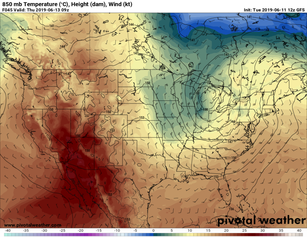
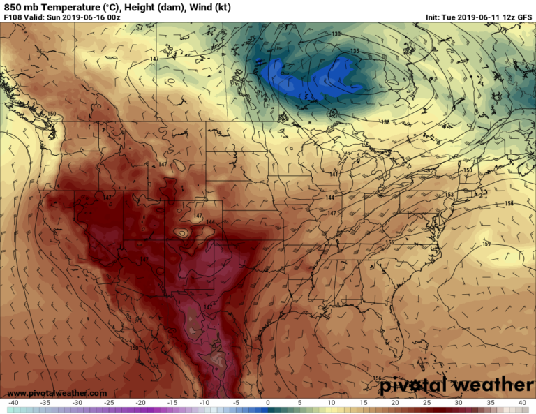
What’s been happening is a series of troughs have been moving in either on us or above us for the past week. The tropical system gave us a bunch of rain last week, then a slow moving trough pushed it along east of us. Afterwards, another trough (in the image shown) is moving just above us pushing cooler air into the Pinebelt, hence why we’ve had a couple of pleasant days! Unfortunately, this isn’t going to last much longer as the atmosphere is yet again building another ridge which is going to give us the dreaded heat we’ve all sorely missed.


Wednesday starts off very pleasant in the morning at 62 degrees with partly cloudy skies in the morning and a few upper level clouds during the day with a high of 88. Winds northwest at 5 mph.
Thursday is just as pleasant with a low of 64 and only a few upper level clouds in the sky. The high will be 89 and winds are coming from the northwest at 5 mph.
Friday is a different story since the winds will start shifting after the ridge sets. Winds will be coming from the south and the high will be 92 with a few cumulus clouds in the sky. The low will be 65.
Saturday we have a slight chance for afternoon thunderstorms since the winds are pulling from the south. A high of 91, a low of 70 an winds south at 5 mph.
Sunday we may have another chance for afternoon thunderstorms due to another trough way north of us, but it’s hit or miss. High of 93 and a low of 71 with winds south at 5 mph.
Monday also has a chance of rain later in the afternoon, however it will be hot during the day at 92 for the high and 72 for the low. Winds are south at 5 mph.
Tuesday will be warmer with developing cumulus during the day and a low of 71 and a high of 94. Winds southwest at 5 mph.
Have a good week!

