Labor Day has been a hot one, but not overbearing! Temperatures have reached the low 90s with lower humidity across the area. It’s been a pretty good day to be outside or just relaxing inside. Over the next few days, we’ll keep the warm temperatures, but unfortunately, rain chances will also subside a bit with fronts dissolving before they reach the Deep South. We won’t quite get the cool off we hoped for, but it also won’t be deathly hot either.
The rest of today should be fairly calm with mostly sunny skies and the temperature falling into the mid 60s overnight.

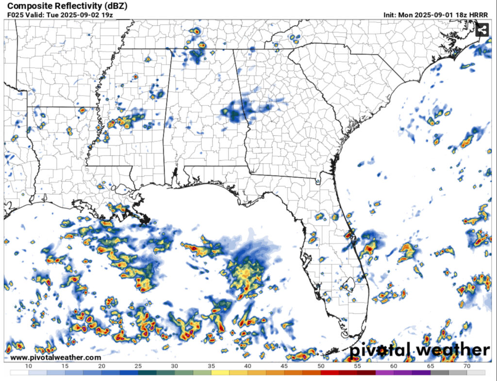
As we roll into Tuesday and Wednesday, a front moving in from the northwest will bring showers and thunderstorms towards the northwestern and central parts of Mississippi and northern portion of Louisiana. Most of these storms will likely not make it further down, but there may be a few isolated storms that reach the Pine Belt during the afternoon hours.
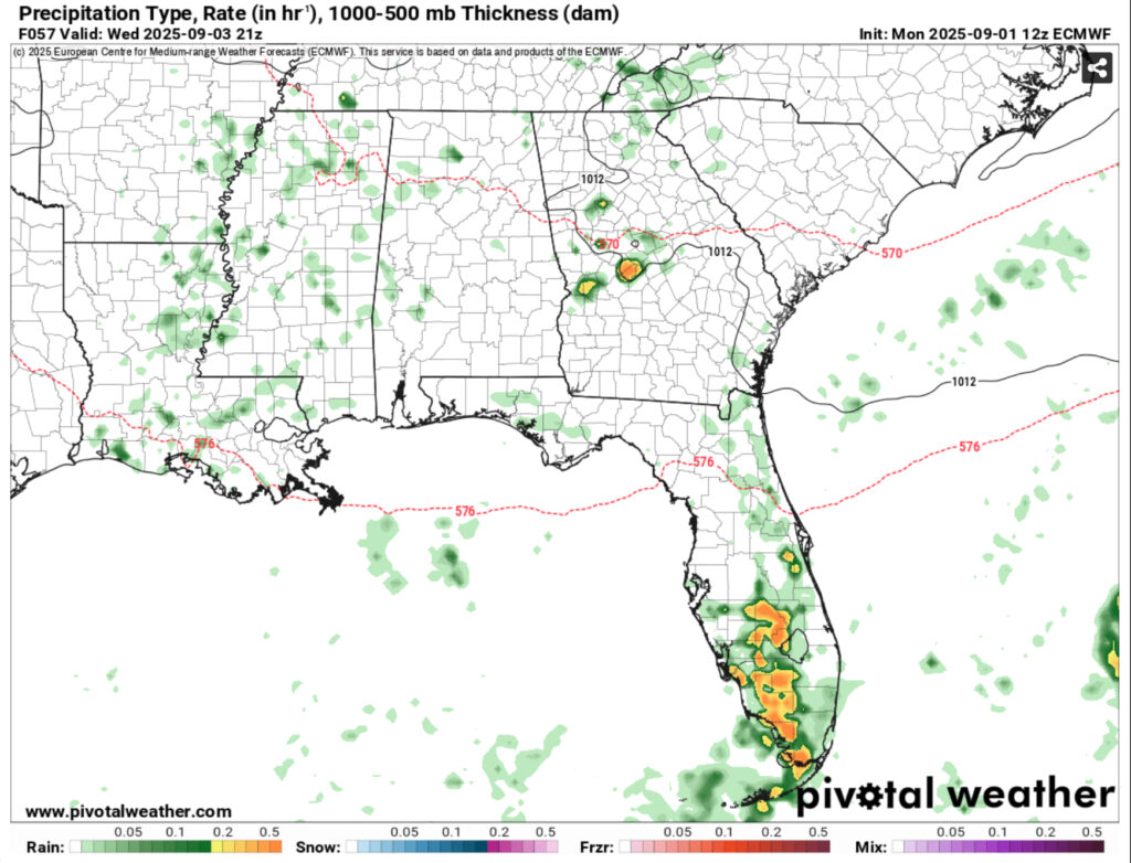
Afterwards, we’ll have a dry period for the rest of the week. Temperatures will remain in the low 90s during the day and upper 60s at night with slightly more humid conditions as the front passes. The models are still conflicted on when another front will move in on Saturday or Sunday, but we may see another slight rain chance moving in. I’ll have an update by Wednesday when the models are in more agreement.


