The stationary front is currently doing stationary things and hanging around for a little longer. For us, that means we’re getting some rain this afternoon into tomorrow morning. The front will slowly trudge to the Gulf leaving us with warm and still slightly humid conditions. Coming in from stage left is our summer pattern of upper level ridge and slow-moving fronts, so we’re almost to our expected slowdown.

Today
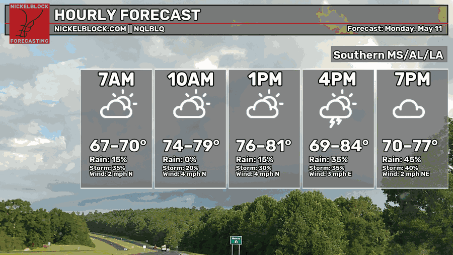
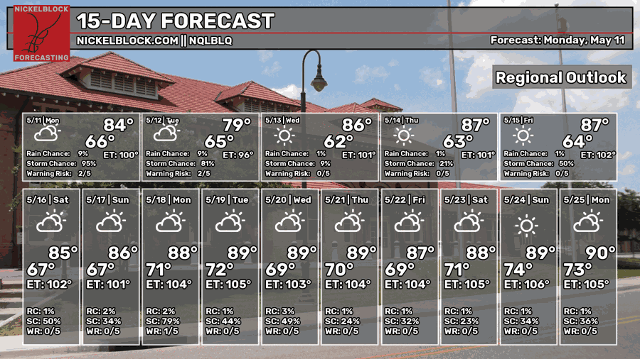
Humid conditions continue on today as a mix of air masses contend with each other. More clouds will move in by the afternoon as scattered thunderstorms spot around the Pine Belt and the coastline. By the evening, the storms will coagulate and bring more rain and thunderstorms in more of a blob until tomorrow morning. Highs will be in the low 80s with a low in the low to mid 60s.
The Storm Prediction Center has placed a Marginal (1/5) risk for much of the Louisiana to Florida coastline. High winds and heavy rain will be the main risks for today.
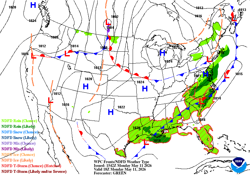
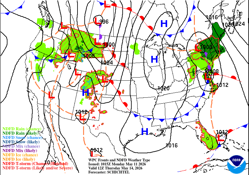
//Courtesy: Pivotal Weather

Tomorrow
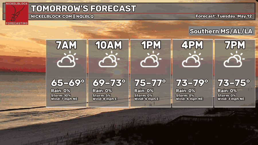
The rain continues to around 7-8am and then we’ll stay dry for the rest of the day. Winds will be out of the northeast as the front passes to the coast. High level clouds will hang around in wake of the front and temperatures will be in the upper 70s for the high. Lows will fall into the low 60s with clearing skies.
Wednesday
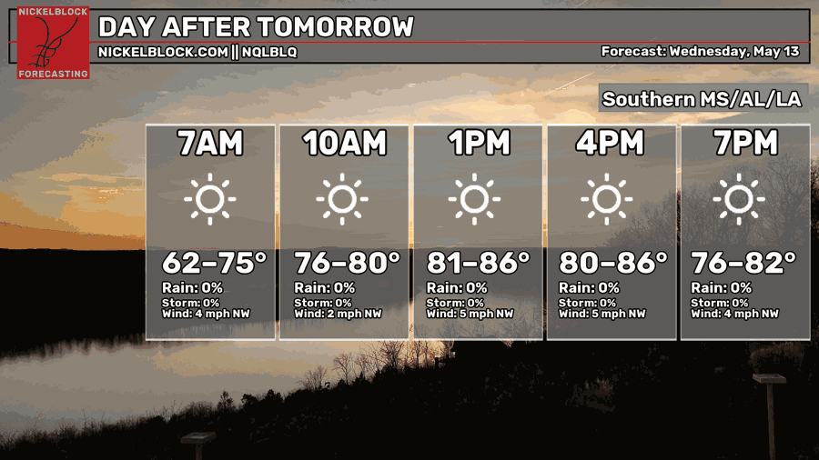
The clouds are gone and we are dry! Winds will be out of the northwest with a high in the low to mid 80s across the board. Lows will be in the low 60s.
Thursday and Friday
With the surface high reaching from the Hudson Bay to the Gulf, it’s cutting off most of the moisture that we would have received from the incoming front (see above). With that, we’ll have a brief period of low humidity from Thursday to Friday as the cold front sweeps the dewpoints into the 50s. This will be fairly quick as the front moves east and eventually dissipates.
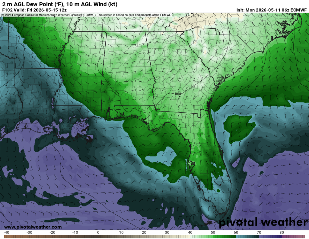
This is good and bad news for us. The good news is that we won’t have any rain for a while, so we won’t have to worry about soggy and humid days. The bad news is that the active weather patterns are beginning to slow down. At this point, it’s going to take backflow or a strong enough front to push through the Atlantic high to bring more rain to areas east of the Mississippi River. I’m going to keep that in mind as I write my future forecasts this Summer!
Thursday and Friday will warm up into the mid 80s with mostly sunny skies and lows in the mid 60s.