Things are drying out around here. The newest Drought Monitor will be out on Thursday and I have to think we will have made a good dent in the drought. And not just a little door ding, either. This might be a baseball bat into the quarter-panel kind of dent.
That means all this upcoming sun will do a number on the grass and plants. They got a really big gulp, and should respond with a good bit of growing during the next few days.
In fact, I think we should be mostly dry through the weekend.

TOMORROW
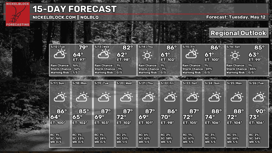
Things look pretty good for tomorrow. Wake up in the mid 60s and top ourt in the low 80s. It’s about as nice a May day as you can ask for.
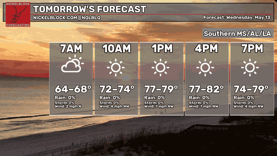
The wind will be out of the northwest but I think it may still feel a bit humid given all the recent rains. So while it will say 80-something on the thermometer, out in the Sun it may still “Feel” like around 90 degrees.

THE DAY AFTER TOMORROW
I think the temperature spread in the morning may be kind of wide. Folks up near Meridian may wake up around 60 degrees while others nearer to Picayune and the coast may be closer to 70 degrees.
Either way, we will tag the low to mid 80s again in the afternoon.
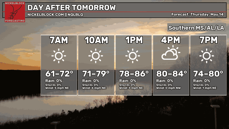
We will, again, be delaing with higher humidity than you would “Expect” because of all the recent rain. Almost feels weird to say that given how dry it has been during the last 6 to 10 months.
THE BIG PICTURE
As we move through the weekend and into next week, a ridge will build into the area and then fall apart.
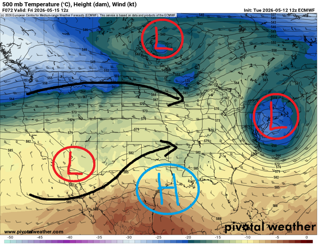
That will help us to warm up for a few days – and dry out – before the next system plows through late next week with another shot for rain and storms. This time, though, I think we will miss out on any chance for widespread severe weather. In particular, we will skip out on the risk for strong tornadoes.
Between now and then, I can’t rule out a shower or storm on Monday, Tuesday or Wednesday given the southerly flow and juuuuuust enough mis-level ‘umph’ out there. If we do see any rain and storms on Monday, Tuesday or Wednesday of next week, it’ll feel more like “summertime storms” than those we get in the Spring.
Just about Thursday or Friday of next week the next cold front will kick thorugh.
Or try to, at least. I’m not sold that it’ll make it all the way through the area without hanging up and washing out.

15-DAY OUTLOOK
Beyond that? Not much to speak of. The ensemble guidance shows a whole ‘lotta “normal” heading our way for the next 21 days. With the chance to have a handful of days with afternoon highs “below normal” at times.
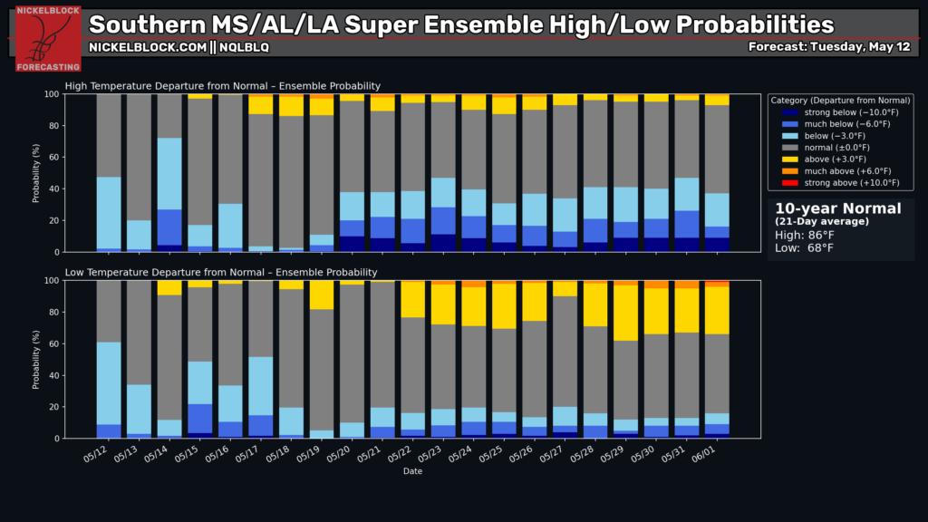
Which, to me, sounds wonderful.
OTHER BIG NEWS
Some big news from the world of weather forecasting today. We got the release of the newest ECMWF weather mode (most folks call it “the Euro”) and NOAA announced it would be retiring the NAM, SREF, HREF, and the NAM MOS weather model data.
What does this mean for you? A lot, actually!
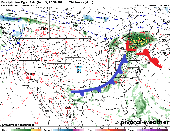
Though, in the short term, not much. Aside from the new Euro giving you a peek at “this doesn’t make much sense” physics, like this:
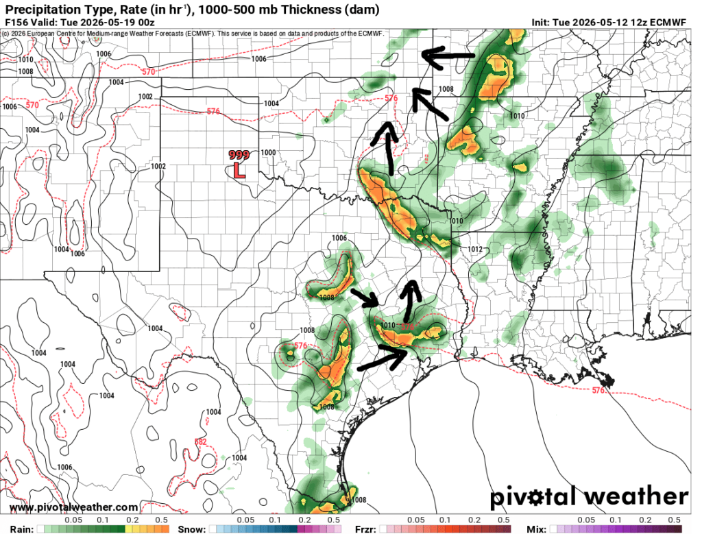
Now, I could be wrong here, but I have a feeling all of these storms won’t just be floating around all willy-nilly like this with as much steering flow aloft (from southwest to northeast) as their will be.
Also, the removal of the NAM, SREF and HREF next fall and Winter means three fewer weather models for us to look at to accurately predict the risk for severe weather.

The replacement models, the RRFS and some of the AI models, have shown some promise, but I will definitely miss the “legacy” models that were born about 20 years ago.


