The title says it all. The next 48 hours are gonna be a deluge.
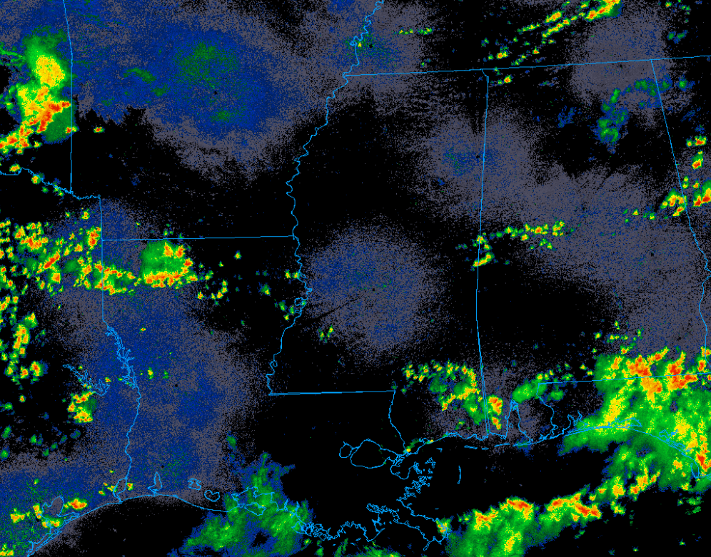
Convection is currently percolating along a surface boundary across the region. These storms will likely intensify as boundary layer heating continues. This will allow widespread showers and storms to erupt across our area through late evening.
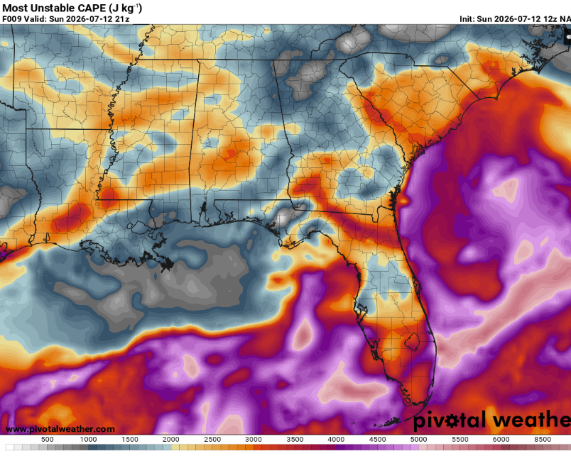
These storms will be driven by moderate (but not incredible) CAPE values.
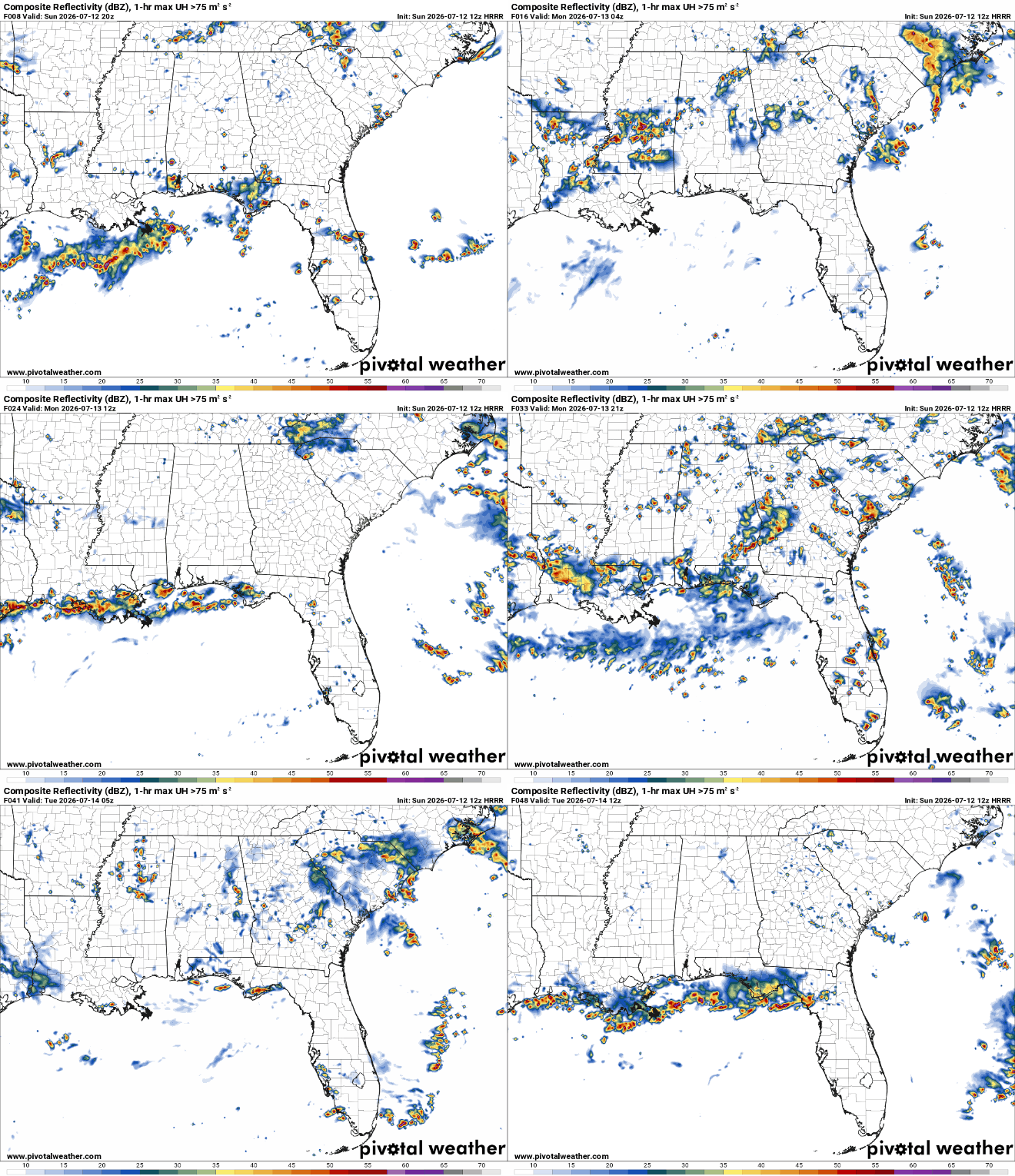
Given the seasonably high moisture content, slow moving nature of the storms, and the potential for them to train along the boundary, flash flood may be in the cards. Never drive into water! Most flooding deaths occur in vehicles.
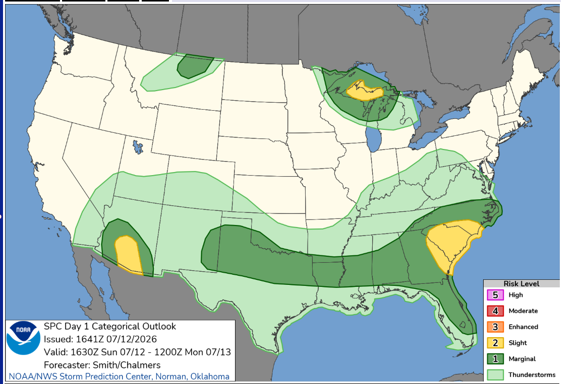
These storms may also bring along a severe weather threat. While heavy rain and frequent cloud to ground lightning will be common, some storms may be able to produce damaging winds up to 60 mph. This will be especially likely if storms are able to congeal into a large, cold pool driven, complex. The lack of vertical wind shear should limit the chance for a more intense severe weather event.
Highs may reach the low 90s for areas that can remain storm free into the mid afternoon. Storms may persist into the am hours before dying off from a lack of instability.
Tomorrow will be more of the same. Numerous thunderstorms will traverse the region and thus keeping highs in the mid 80s at most. Thankfully, the severe weather threat looks low.


