While the rain forecast isn’t looking too promising, we’ll start approaching more early autumn-like temperatures. Temperatures will be in the upper 80s to low 90s, but conditions shouldn’t be nearly as miserable as they were last month.
This Weekend

For our gameday weekend, we’ll see a mix of clouds and sun throughout the day. A very slim chance of rain is possible towards the late afternoon, however this is most likely going to stay closer to the coast and fairly isolated. Temperatures will reach the low 90s with heat indices matching the temperatures.
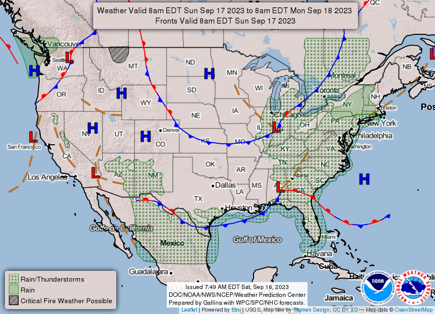
Sunday will see similar conditions as Saturday, however with the low pressure moving east, there’s not really a shot for rain at all. Temperatures will be in the low 90s again and lows will stay around the upper 60s.
Next Week
Most of next week will be a similar story to this weekend. Temperatures won’t stray too much from each other staying in the low 90s and more in the upper 90s the further southwest you go towards Louisiana. The good news is that the heat index will not be a major factor for us all week! The heat index will essentially just match the temperatures each day which is a welcome change from last month.
The concerning part about this, though, is the lack of rain. Burn bans are up across most of the southeast and this likely won’t change anytime soon. North winds and an incoming ridge from the northeast will keep almost all of the rain chances away especially for Mississippi.
As we make it through the week, a surface ridge will be moving south from Canada and move east later in the weekend. Overhead in the upper levels, a closed trough will form and will hover over us for a few days. While this isn’t anything really exciting, it’s a little better to see compared to the death ridge that was over the eastern US for the latter part of the Summer.
This weekend should be the same story, however the Euro and GFS disagree on whether there might be a chance of rain on Sunday. For now, it seems like a pretty slim chance, but it’s something to keep an eye out for.
[wpcode id=”41179″]
Regional Day-to-Day Forecast
Today – A 20 percent chance of showers and thunderstorms after 1pm. Mostly sunny, with a high near 93. Calm wind becoming west northwest around 5 mph in the afternoon.
Tonight – Partly cloudy, with a low around 68. North northwest wind around 5 mph becoming calm.
Sunday – Sunny, with a high near 92. Light north northwest wind increasing to 5 to 10 mph in the morning.
Sunday Night – Clear, with a low around 63. North northwest wind around 5 mph becoming calm in the evening.
Monday – Sunny, with a high near 90. Calm wind becoming north around 5 mph in the morning.
Monday Night – Mostly clear, with a low around 62. North northeast wind around 5 mph becoming calm.
Tuesday – Sunny, with a high near 91. Calm wind becoming east around 5 mph in the afternoon.
Tuesday Night – Mostly clear, with a low around 63. East wind around 5 mph becoming calm in the evening.
Wednesday – Sunny, with a high near 92. Calm wind becoming east southeast around 5 mph in the afternoon.
Wednesday Night – Mostly clear, with a low around 66.
Thursday – Sunny, with a high near 92.
Thursday Night – Mostly clear, with a low around 66.
Friday – Sunny, with a high near 91.
[wpcode id=”41149″]


